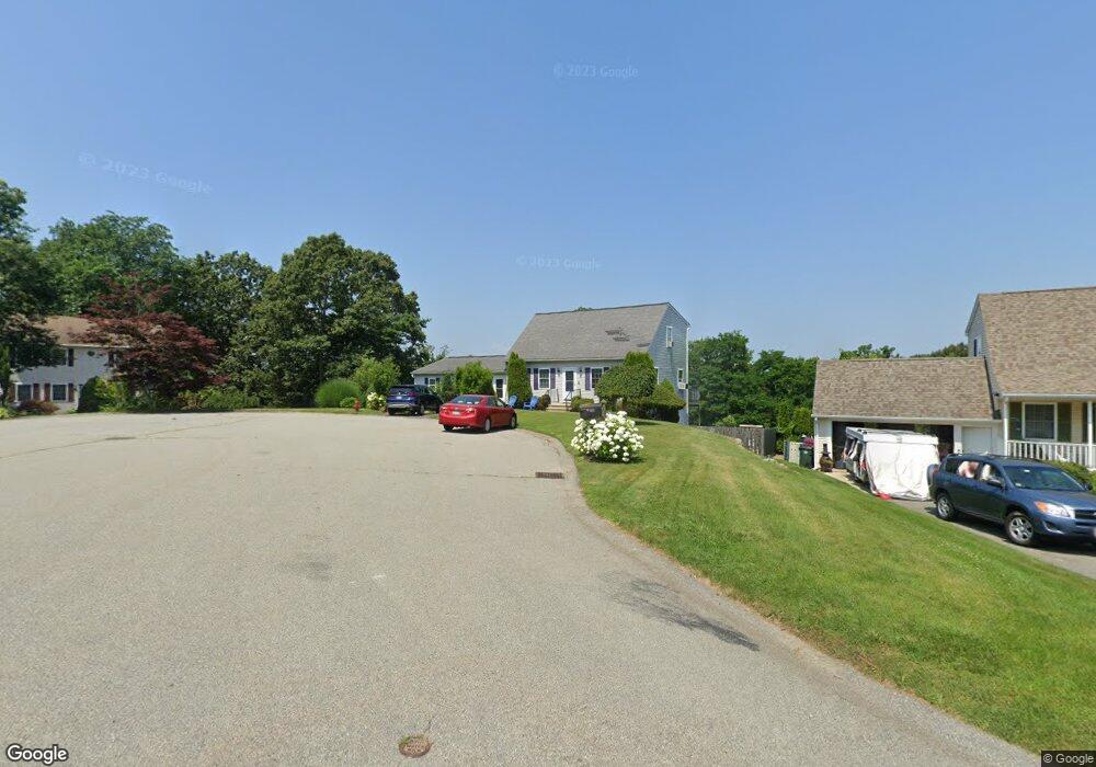
33 Point West Dr Fall River, MA 02720
Western Fall River NeighborhoodEstimated Value: $577,000 - $640,000
3
Beds
2
Baths
1,985
Sq Ft
$308/Sq Ft
Est. Value
About This Home
This home is located at 33 Point West Dr, Fall River, MA 02720 and is currently estimated at $611,520, approximately $308 per square foot. 33 Point West Dr is a home located in Bristol County with nearby schools including North End Elementary School, Morton Middle School, and B M C Durfee High School.
Ownership History
Date
Name
Owned For
Owner Type
Purchase Details
Closed on
Aug 15, 2022
Sold by
Macmillen Kenneth W and Macmillen Heather B
Bought by
Macmillen Heather B
Current Estimated Value
Purchase Details
Closed on
May 31, 2001
Sold by
Correa Jessica L and Correa Elizabeth A
Bought by
Macmillen Heather B and Macmillen Kenneth W
Purchase Details
Closed on
Mar 22, 2000
Sold by
North Main Dev Llc
Bought by
Correa Jessica L and Correa Elizabeth A
Create a Home Valuation Report for This Property
The Home Valuation Report is an in-depth analysis detailing your home's value as well as a comparison with similar homes in the area
Home Values in the Area
Average Home Value in this Area
Purchase History
| Date | Buyer | Sale Price | Title Company |
|---|---|---|---|
| Macmillen Heather B | -- | None Available | |
| Macmillen Heather B | -- | None Available | |
| Macmillen Heather B | $156,600 | -- | |
| Macmillen Heather B | $156,600 | -- | |
| Correa Jessica L | $148,000 | -- | |
| Correa Jessica L | $148,000 | -- |
Source: Public Records
Mortgage History
| Date | Status | Borrower | Loan Amount |
|---|---|---|---|
| Previous Owner | Correa Jessica L | $20,000 | |
| Previous Owner | Correa Jessica L | $20,000 |
Source: Public Records
Tax History
| Year | Tax Paid | Tax Assessment Tax Assessment Total Assessment is a certain percentage of the fair market value that is determined by local assessors to be the total taxable value of land and additions on the property. | Land | Improvement |
|---|---|---|---|---|
| 2025 | $6,182 | $539,900 | $160,400 | $379,500 |
| 2024 | $5,722 | $498,000 | $157,400 | $340,600 |
| 2023 | $6,029 | $491,400 | $142,500 | $348,900 |
| 2022 | $5,369 | $425,400 | $134,700 | $290,700 |
| 2021 | $5,112 | $369,600 | $128,900 | $240,700 |
| 2020 | $4,761 | $329,500 | $123,100 | $206,400 |
| 2019 | $4,778 | $327,700 | $128,400 | $199,300 |
| 2018 | $4,636 | $317,100 | $126,400 | $190,700 |
| 2017 | $4,392 | $313,700 | $126,400 | $187,300 |
| 2016 | $4,229 | $310,300 | $132,800 | $177,500 |
| 2015 | $4,116 | $314,700 | $132,800 | $181,900 |
| 2014 | $3,959 | $314,700 | $132,800 | $181,900 |
Source: Public Records
Map
Nearby Homes
- 5065 N Main St Unit 2
- 22 Apple Creek Ln
- 5455 N Main St Unit 10B
- 5455 N Main St Unit 2C
- 4234 N Main St Unit 103
- 0 Palmer St
- 3753 N Main St Unit 1
- 3682 N Main St Unit 6
- 3636 N Main St Unit 5
- 145 Mount Hope Rd
- 2714 Riverside Ave
- 72 Ida Ln
- 30 Gray St
- 485 Whetstone Hill Rd
- 2396 Riverside Ave
- 560 North St
- 111 Almy Rd
- 107 Manchester Ave
- 46 Lilac Ave
- 4 Narrows Rd
- 27 Point West Dr
- 41 Point West Dr
- 49 Point West Dr
- 11 Point West Dr
- 11 Point Dr W
- 42 Point West Dr
- 55 Point West Dr
- 10 Point West Dr
- 73 Point West Dr
- 78 Point West Dr
- 73 Point West Dr
- 141 Horizon Way
- 9 Seaward Ln
- 120 Horizon Way
- 21 Seaward Ln
- 41 Seaward Ln
- 61 Seaward Ln
- 100 Point West Dr
- 95 Point West Dr
- 138 Horizon Way
Your Personal Tour Guide
Ask me questions while you tour the home.