33 Poore Rd East Boothbay, ME 04544
Estimated Value: $362,580 - $502,000
2
Beds
1
Bath
925
Sq Ft
$485/Sq Ft
Est. Value
About This Home
This home is located at 33 Poore Rd, East Boothbay, ME 04544 and is currently estimated at $448,395, approximately $484 per square foot. 33 Poore Rd is a home located in Lincoln County with nearby schools including Boothbay Region Elementary School and Boothbay Region High School.
Create a Home Valuation Report for This Property
The Home Valuation Report is an in-depth analysis detailing your home's value as well as a comparison with similar homes in the area
Home Values in the Area
Average Home Value in this Area
Tax History Compared to Growth
Tax History
| Year | Tax Paid | Tax Assessment Tax Assessment Total Assessment is a certain percentage of the fair market value that is determined by local assessors to be the total taxable value of land and additions on the property. | Land | Improvement |
|---|---|---|---|---|
| 2024 | $1,929 | $169,979 | $70,752 | $99,227 |
| 2023 | $1,708 | $169,979 | $70,752 | $99,227 |
| 2022 | $1,581 | $169,979 | $70,752 | $99,227 |
| 2021 | $1,623 | $169,979 | $70,752 | $99,227 |
| 2020 | $1,632 | $169,979 | $70,752 | $99,227 |
| 2019 | $1,606 | $169,979 | $70,752 | $99,227 |
| 2018 | $1,581 | $169,979 | $70,752 | $99,227 |
| 2017 | $1,444 | $157,000 | $72,100 | $84,900 |
| 2016 | $1,382 | $157,000 | $72,100 | $84,900 |
| 2015 | $1,374 | $157,000 | $72,100 | $84,900 |
| 2014 | $1,335 | $157,000 | $72,100 | $84,900 |
Source: Public Records
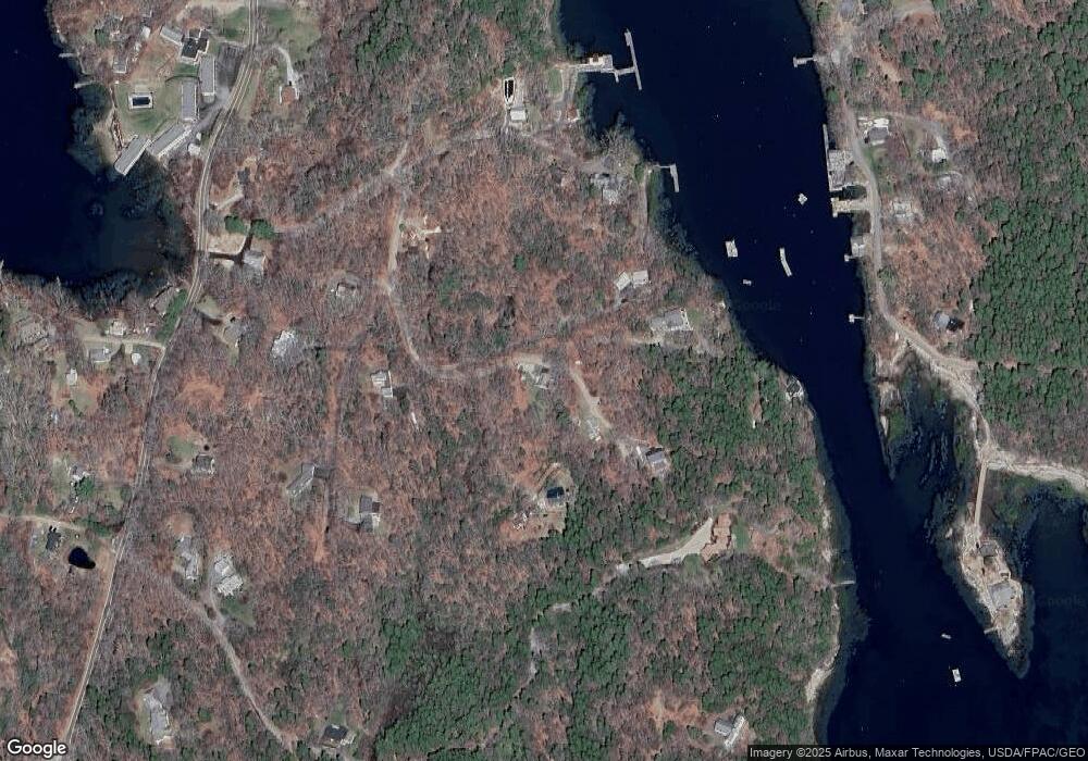
Map
Nearby Homes
- 44 King Phillips Trail
- 12 Westwind Dr
- 74 & 76 Bay St
- 31 Bay St
- 5 Massachusetts Ave
- Lts 23A&24 Birch Island
- Birch Island
- 239 Ocean Point Rd
- 27 Townsend Ave
- 53 Commercial St
- 210 Ocean Point Rd
- 37 Townsend Ave
- 34 Townsend Ave
- 66 Townsend Ave
- 66 Townsend Avenue & 43 Oak St
- 43 Oak St
- 26 Sea St
- 12 Sea St
- 23 Meadow Cove Rd
- 35 Rice Rd