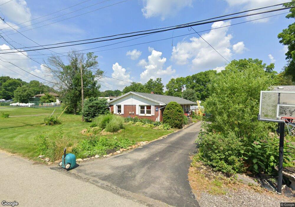
33 Poplar St Dayton, OH 45415
Estimated Value: $195,000 - $216,063
3
Beds
2
Baths
1,736
Sq Ft
$118/Sq Ft
Est. Value
About This Home
This home is located at 33 Poplar St, Dayton, OH 45415 and is currently estimated at $205,016, approximately $118 per square foot. 33 Poplar St is a home located in Montgomery County with nearby schools including Valerie Elementary School, Imagine Schools - Woodbury Academy, and Horizon Science Academy-Dayton Elementary School.
Ownership History
Date
Name
Owned For
Owner Type
Purchase Details
Closed on
Mar 29, 2019
Sold by
Hinders Judy M
Bought by
Anderson Robert W
Current Estimated Value
Home Financials for this Owner
Home Financials are based on the most recent Mortgage that was taken out on this home.
Original Mortgage
$98,100
Outstanding Balance
$86,247
Interest Rate
4.3%
Mortgage Type
New Conventional
Estimated Equity
$118,769
Create a Home Valuation Report for This Property
The Home Valuation Report is an in-depth analysis detailing your home's value as well as a comparison with similar homes in the area
Home Values in the Area
Average Home Value in this Area
Purchase History
| Date | Buyer | Sale Price | Title Company |
|---|---|---|---|
| Anderson Robert W | $109,000 | Safemark Title Agency Inc |
Source: Public Records
Mortgage History
| Date | Status | Borrower | Loan Amount |
|---|---|---|---|
| Open | Anderson Robert W | $98,100 |
Source: Public Records
Tax History Compared to Growth
Tax History
| Year | Tax Paid | Tax Assessment Tax Assessment Total Assessment is a certain percentage of the fair market value that is determined by local assessors to be the total taxable value of land and additions on the property. | Land | Improvement |
|---|---|---|---|---|
| 2024 | $3,423 | $46,210 | $10,160 | $36,050 |
| 2023 | $3,423 | $46,210 | $10,160 | $36,050 |
| 2022 | $3,212 | $31,870 | $7,010 | $24,860 |
| 2021 | $3,200 | $31,870 | $7,010 | $24,860 |
| 2020 | $3,193 | $31,870 | $7,010 | $24,860 |
| 2019 | $2,054 | $27,410 | $5,950 | $21,460 |
| 2018 | $2,056 | $27,410 | $5,950 | $21,460 |
| 2017 | $2,045 | $27,410 | $5,950 | $21,460 |
| 2016 | $2,547 | $31,230 | $7,010 | $24,220 |
| 2015 | $2,209 | $31,230 | $7,010 | $24,220 |
| 2014 | $2,209 | $31,230 | $7,010 | $24,220 |
| 2012 | -- | $32,910 | $5,900 | $27,010 |
Source: Public Records
Map
Nearby Homes
- 488 Eastdale Dr
- 587 Eastdale Dr
- 5653 Philadelphia Dr
- 6937 N Main St
- 4763 Shaunee Creek Dr Unit 31
- 4743 Shaunee Creek Dr Unit 21
- 4624 Fayette Ct
- 4535 Lansmore Dr Unit 97
- 270 Pamela Ave
- 4601 Merrick Dr Unit 79
- 350 Pamela Ave
- 5308 N Main St
- 3501 Piedmont Ave
- 473 Blueridge Dr
- 6331 Riverbend Dr
- 266 Briarcliff Rd
- 455 Shiloh Dr
- 4174 Meadowdale Dr
- 3360 Cortez Dr
- 158 Loretta Dr