Estimated Value: $770,000 - $880,000
4
Beds
3
Baths
1,644
Sq Ft
$503/Sq Ft
Est. Value
About This Home
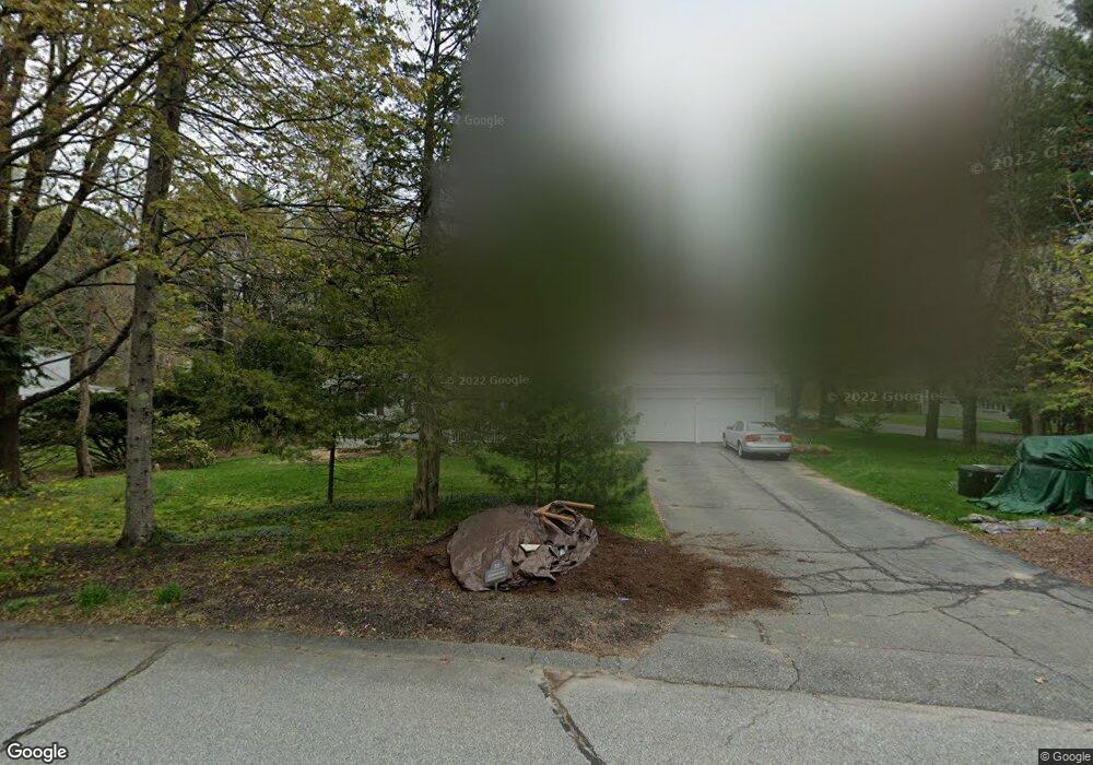
This home is located at 33 Quaboag Rd, Acton, MA 01720 and is currently estimated at $827,042, approximately $503 per square foot. 33 Quaboag Rd is a home located in Middlesex County with nearby schools including Acton-Boxborough Regional High School.
Ownership History
Date
Name
Owned For
Owner Type
Purchase Details
Closed on
Jan 11, 2017
Sold by
Keeler David W and Keeler Barbara A
Bought by
Keeler Ft 2017
Current Estimated Value
Purchase Details
Closed on
Nov 6, 1987
Sold by
Das Shyam C
Bought by
Keeler David W
Home Financials for this Owner
Home Financials are based on the most recent Mortgage that was taken out on this home.
Original Mortgage
$110,000
Interest Rate
10.97%
Mortgage Type
Purchase Money Mortgage
Create a Home Valuation Report for This Property
The Home Valuation Report is an in-depth analysis detailing your home's value as well as a comparison with similar homes in the area
Home Values in the Area
Average Home Value in this Area
Purchase History
| Date | Buyer | Sale Price | Title Company |
|---|---|---|---|
| Keeler Ft 2017 | -- | -- | |
| Keeler David W | $239,900 | -- |
Source: Public Records
Mortgage History
| Date | Status | Borrower | Loan Amount |
|---|---|---|---|
| Previous Owner | Keeler David W | $190,000 | |
| Previous Owner | Keeler David W | $25,000 | |
| Previous Owner | Keeler David W | $150,000 | |
| Previous Owner | Keeler David W | $110,000 |
Source: Public Records
Tax History
| Year | Tax Paid | Tax Assessment Tax Assessment Total Assessment is a certain percentage of the fair market value that is determined by local assessors to be the total taxable value of land and additions on the property. | Land | Improvement |
|---|---|---|---|---|
| 2025 | $11,739 | $684,500 | $316,000 | $368,500 |
| 2024 | $11,131 | $667,700 | $316,000 | $351,700 |
| 2023 | $10,629 | $605,300 | $287,200 | $318,100 |
| 2022 | $10,604 | $545,200 | $249,500 | $295,700 |
| 2021 | $10,295 | $508,900 | $231,300 | $277,600 |
| 2020 | $9,643 | $501,200 | $231,300 | $269,900 |
| 2019 | $9,114 | $470,500 | $231,300 | $239,200 |
| 2018 | $8,459 | $436,500 | $231,300 | $205,200 |
| 2017 | $8,320 | $436,500 | $231,300 | $205,200 |
| 2016 | $7,813 | $406,300 | $231,300 | $175,000 |
| 2015 | $7,873 | $413,300 | $231,300 | $182,000 |
| 2014 | $7,449 | $383,000 | $231,300 | $151,700 |
Source: Public Records
Map
Nearby Homes
- 5 Perkins Ln
- 20 Joseph Reed Ln
- 235 Arlington St
- 79 Charter Rd
- 4 Littlefield Rd
- 60 Nashoba Rd
- 246 Main St Unit 2
- 92 Willow St Unit 3
- 92 Willow St Unit 2
- 90 Willow St Unit 1
- 7 Kelley Rd
- 18 Hayward Rd
- 11 Braebrook
- 184 Main St Unit 3
- 46 Taylor Rd
- 25 Nylander Way
- 33 Meadowbrook Rd
- 129 Main St Unit 129
- 131 Main St
- 4 Omega Way
Your Personal Tour Guide
Ask me questions while you tour the home.