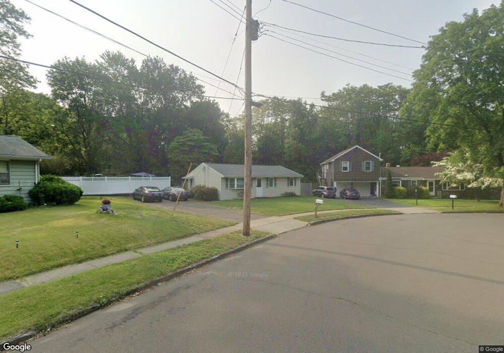
33 Ray Bob Rd Milford, CT 06461
Parkway/Wheelers Farm Road NeighborhoodEstimated Value: $407,597 - $459,000
3
Beds
1
Bath
1,000
Sq Ft
$428/Sq Ft
Est. Value
About This Home
This home is located at 33 Ray Bob Rd, Milford, CT 06461 and is currently estimated at $428,399, approximately $428 per square foot. 33 Ray Bob Rd is a home located in New Haven County with nearby schools including Mathewson School, West Shore Middle School, and Jonathan Law High School.
Ownership History
Date
Name
Owned For
Owner Type
Purchase Details
Closed on
Apr 1, 2002
Sold by
Lucia Jeffrey T
Bought by
Art Walter F
Current Estimated Value
Home Financials for this Owner
Home Financials are based on the most recent Mortgage that was taken out on this home.
Original Mortgage
$167,000
Interest Rate
6.88%
Purchase Details
Closed on
Jun 29, 1998
Sold by
Gless Mark H and Gless Diane M
Bought by
Lucia Jeffrey T and Lucia Denise M
Purchase Details
Closed on
Jul 1, 1991
Sold by
Gomer Jeffrey Z and Gomer Rosemarie
Bought by
Gless Mark H and Buckshon Diane M
Create a Home Valuation Report for This Property
The Home Valuation Report is an in-depth analysis detailing your home's value as well as a comparison with similar homes in the area
Home Values in the Area
Average Home Value in this Area
Purchase History
| Date | Buyer | Sale Price | Title Company |
|---|---|---|---|
| Art Walter F | $187,000 | -- | |
| Art Walter F | $187,000 | -- | |
| Lucia Jeffrey T | $148,000 | -- | |
| Lucia Jeffrey T | $148,000 | -- | |
| Gless Mark H | $146,500 | -- |
Source: Public Records
Mortgage History
| Date | Status | Borrower | Loan Amount |
|---|---|---|---|
| Closed | Gless Mark H | $10,000 | |
| Open | Gless Mark H | $253,000 | |
| Closed | Gless Mark H | $167,000 |
Source: Public Records
Tax History Compared to Growth
Tax History
| Year | Tax Paid | Tax Assessment Tax Assessment Total Assessment is a certain percentage of the fair market value that is determined by local assessors to be the total taxable value of land and additions on the property. | Land | Improvement |
|---|---|---|---|---|
| 2025 | $6,004 | $203,180 | $92,500 | $110,680 |
| 2024 | $5,921 | $203,180 | $92,500 | $110,680 |
| 2023 | $5,520 | $203,180 | $92,500 | $110,680 |
| 2022 | $5,415 | $203,180 | $92,500 | $110,680 |
| 2021 | $4,820 | $174,320 | $65,520 | $108,800 |
| 2020 | $4,825 | $174,320 | $65,520 | $108,800 |
| 2019 | $4,830 | $174,320 | $65,520 | $108,800 |
| 2018 | $4,836 | $174,320 | $65,520 | $108,800 |
| 2017 | $4,844 | $174,320 | $65,520 | $108,800 |
| 2016 | $4,560 | $163,800 | $58,240 | $105,560 |
| 2015 | $4,567 | $163,800 | $58,240 | $105,560 |
| 2014 | $4,459 | $163,800 | $58,240 | $105,560 |
Source: Public Records
Map
Nearby Homes
- 1487 Naugatuck Ave
- 10 Lucius Ct Unit 10
- 72 Plains Rd
- 88 Boston Post Rd
- 663 West Ave Unit A20
- 50 Washington St
- 1299 Naugatuck Ave
- 29 Benjamin Heights Dr
- 299 W Main St
- 27 Peck St
- 238 Zion Hill Rd
- 116 Cornfield Rd
- 24 Collingsdale Dr
- 282 Oronoque Rd
- 13 Harkness Dr
- 184 West Ave
- 110 Meadowside Rd
- 48 Alden Place
- 43 Innsbruck St
- 25 Lucille Dr