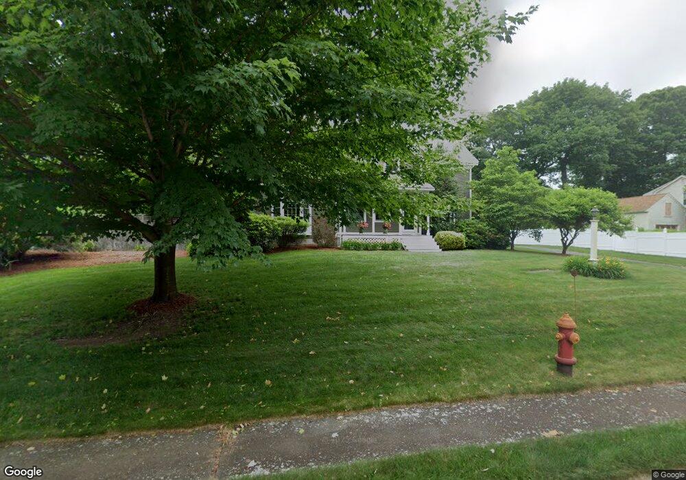
33 Riverside Dr Mansfield, MA 02048
Estimated Value: $801,234 - $899,000
3
Beds
2
Baths
2,308
Sq Ft
$369/Sq Ft
Est. Value
About This Home
This home is located at 33 Riverside Dr, Mansfield, MA 02048 and is currently estimated at $852,559, approximately $369 per square foot. 33 Riverside Dr is a home located in Bristol County with nearby schools including Everett W. Robinson Elementary School, Jordan/Jackson Elementary School, and Harold L. Qualters Middle School.
Ownership History
Date
Name
Owned For
Owner Type
Purchase Details
Closed on
Sep 20, 2023
Sold by
Ceruti Jeffry J and Ceruti Jeannine L
Bought by
Ceruti Ft and Ceruti
Current Estimated Value
Purchase Details
Closed on
Nov 30, 2010
Sold by
Jkm Riverside Rt and Moran
Bought by
Ceruti Jeffry J and Ceruti Jeannine L
Home Financials for this Owner
Home Financials are based on the most recent Mortgage that was taken out on this home.
Original Mortgage
$175,000
Interest Rate
4.25%
Mortgage Type
Purchase Money Mortgage
Create a Home Valuation Report for This Property
The Home Valuation Report is an in-depth analysis detailing your home's value as well as a comparison with similar homes in the area
Home Values in the Area
Average Home Value in this Area
Purchase History
| Date | Buyer | Sale Price | Title Company |
|---|---|---|---|
| Ceruti Ft | -- | None Available | |
| Ceruti Jeffry J | $475,000 | -- |
Source: Public Records
Mortgage History
| Date | Status | Borrower | Loan Amount |
|---|---|---|---|
| Previous Owner | Ceruti Jeffry J | $175,000 |
Source: Public Records
Tax History
| Year | Tax Paid | Tax Assessment Tax Assessment Total Assessment is a certain percentage of the fair market value that is determined by local assessors to be the total taxable value of land and additions on the property. | Land | Improvement |
|---|---|---|---|---|
| 2025 | $9,370 | $711,500 | $322,600 | $388,900 |
| 2024 | $9,613 | $712,100 | $336,600 | $375,500 |
| 2023 | $9,360 | $664,300 | $336,600 | $327,700 |
| 2022 | $9,283 | $611,900 | $311,500 | $300,400 |
| 2021 | $8,208 | $534,400 | $248,900 | $285,500 |
| 2020 | $7,671 | $499,400 | $248,900 | $250,500 |
| 2019 | $7,841 | $515,200 | $234,400 | $280,800 |
| 2018 | $7,541 | $492,600 | $223,400 | $269,200 |
| 2017 | $7,229 | $481,300 | $216,800 | $264,500 |
| 2016 | $6,862 | $445,300 | $206,400 | $238,900 |
| 2015 | $6,612 | $426,600 | $206,400 | $220,200 |
Source: Public Records
Map
Nearby Homes
- 44 Fairfield Park Unit 44
- 97 East St
- 28 Court St
- 150 Rumford Ave Unit 110
- 1 Deer Path Ln
- 7 Fieldstone Dr
- 266 N Main St Unit 3
- 46 Hope St
- 122 Samoset Ave
- 166 Chauncy St
- 22 Pleasant St Unit B
- 81 Chilson Ave
- 14 Windchime Dr
- 25 Kingman Ave
- 19 Barberry Rd
- 1769 West St
- 16 Holly Rd
- 619 N Main St
- 250 Mansfield Ave Unit 11
- 356 Central St
- 37 Riverside Dr
- 27 Riverside Dr
- 41 Riverside Dr
- 23 Riverside Dr
- 34 Riverside Dr
- 3 Basin St
- 38 Riverside Dr
- 45 Riverside Dr
- 42 Riverside Dr
- 19 Riverside Dr
- 20 Riverside Dr
- 49 Riverside Dr
- 7 Basin St
- 46 Riverside Dr
- Lot - 4 Roy Rd
- LOT 4 Roy Rd
- 00 L-3 Stearns Ave
- 15 Riverside Dr
- 8 Basin St
- 53 Riverside Dr
Your Personal Tour Guide
Ask me questions while you tour the home.