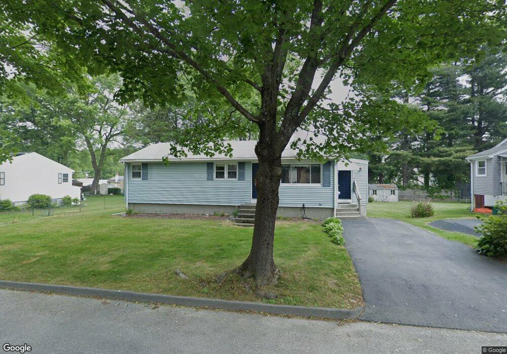
33 Roath St Worcester, MA 01604
Grafton Hill NeighborhoodEstimated Value: $375,000 - $433,000
3
Beds
1
Bath
1,075
Sq Ft
$374/Sq Ft
Est. Value
About This Home
This home is located at 33 Roath St, Worcester, MA 01604 and is currently estimated at $402,520, approximately $374 per square foot. 33 Roath St is a home located in Worcester County with nearby schools including Jacob Hiatt Magnet School, Chandler Magnet, and Rice Square Elementary School.
Ownership History
Date
Name
Owned For
Owner Type
Purchase Details
Closed on
Sep 27, 2023
Sold by
Pedone Vincent A and Pedone Carol A
Bought by
Needham Carol and Eckland Dennis
Current Estimated Value
Home Financials for this Owner
Home Financials are based on the most recent Mortgage that was taken out on this home.
Original Mortgage
$170,000
Outstanding Balance
$166,324
Interest Rate
7.09%
Mortgage Type
New Conventional
Estimated Equity
$236,196
Create a Home Valuation Report for This Property
The Home Valuation Report is an in-depth analysis detailing your home's value as well as a comparison with similar homes in the area
Home Values in the Area
Average Home Value in this Area
Purchase History
| Date | Buyer | Sale Price | Title Company |
|---|---|---|---|
| Needham Carol | -- | None Available | |
| Needham Carol | -- | None Available |
Source: Public Records
Mortgage History
| Date | Status | Borrower | Loan Amount |
|---|---|---|---|
| Open | Needham Carol | $170,000 | |
| Closed | Needham Carol | $170,000 |
Source: Public Records
Tax History Compared to Growth
Tax History
| Year | Tax Paid | Tax Assessment Tax Assessment Total Assessment is a certain percentage of the fair market value that is determined by local assessors to be the total taxable value of land and additions on the property. | Land | Improvement |
|---|---|---|---|---|
| 2025 | $4,808 | $364,500 | $118,100 | $246,400 |
| 2024 | $4,707 | $342,300 | $118,100 | $224,200 |
| 2023 | $4,625 | $322,500 | $102,700 | $219,800 |
| 2022 | $4,091 | $269,000 | $82,200 | $186,800 |
| 2021 | $3,945 | $242,300 | $65,700 | $176,600 |
| 2020 | $3,784 | $222,600 | $65,700 | $156,900 |
| 2019 | $3,550 | $197,200 | $59,100 | $138,100 |
| 2018 | $3,440 | $181,900 | $59,100 | $122,800 |
| 2017 | $3,496 | $181,900 | $59,100 | $122,800 |
| 2016 | $3,405 | $165,200 | $43,200 | $122,000 |
| 2015 | $3,316 | $165,200 | $43,200 | $122,000 |
| 2014 | $3,228 | $165,200 | $43,200 | $122,000 |
Source: Public Records
Map
Nearby Homes
- 48 Ernest Ave
- 55 Standish St
- 80 Delmont Ave
- 10 County St
- 12 Benham St
- 360 Hamilton St
- 23 Superior Rd
- 91 Standish St
- 173 Fairmont Ave
- 247 Pilgrim Ave
- 21 Middlesex Ave Unit 102
- 63 Progressive St
- 68 Dartmouth St
- 83 Massasoit Rd
- 102 Hamilton St
- 17 Middlesex Ave
- 11 Benson St
- 10 Almont Ave
- 62 Allston Ave
- 41 Modoc St