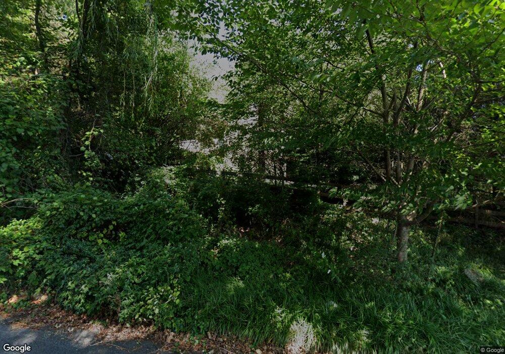
33 Roberta Dr Aston, PA 19014
Estimated Value: $481,000 - $719,000
3
Beds
3
Baths
3,032
Sq Ft
$200/Sq Ft
Est. Value
About This Home
This home is located at 33 Roberta Dr, Aston, PA 19014 and is currently estimated at $606,921, approximately $200 per square foot. 33 Roberta Dr is a home located in Delaware County.
Ownership History
Date
Name
Owned For
Owner Type
Purchase Details
Closed on
Oct 26, 2001
Sold by
Gardner Aubrey F and Gardner Evelyn F
Bought by
Kates Matthew T and Kates Janice L
Current Estimated Value
Home Financials for this Owner
Home Financials are based on the most recent Mortgage that was taken out on this home.
Original Mortgage
$224,800
Outstanding Balance
$88,510
Interest Rate
6.82%
Estimated Equity
$518,411
Create a Home Valuation Report for This Property
The Home Valuation Report is an in-depth analysis detailing your home's value as well as a comparison with similar homes in the area
Home Values in the Area
Average Home Value in this Area
Purchase History
| Date | Buyer | Sale Price | Title Company |
|---|---|---|---|
| Kates Matthew T | $281,000 | First American Title Ins Co |
Source: Public Records
Mortgage History
| Date | Status | Borrower | Loan Amount |
|---|---|---|---|
| Open | Kates Matthew T | $224,800 | |
| Closed | Kates Matthew T | $28,100 |
Source: Public Records
Tax History Compared to Growth
Tax History
| Year | Tax Paid | Tax Assessment Tax Assessment Total Assessment is a certain percentage of the fair market value that is determined by local assessors to be the total taxable value of land and additions on the property. | Land | Improvement |
|---|---|---|---|---|
| 2025 | $8,769 | $337,940 | $111,950 | $225,990 |
| 2024 | $8,769 | $337,940 | $111,950 | $225,990 |
| 2023 | $8,376 | $337,940 | $111,950 | $225,990 |
| 2022 | $8,077 | $337,940 | $111,950 | $225,990 |
| 2021 | $12,464 | $337,940 | $111,950 | $225,990 |
| 2020 | $7,711 | $188,810 | $69,870 | $118,940 |
| 2019 | $7,563 | $188,810 | $69,870 | $118,940 |
| 2018 | $7,242 | $188,810 | $0 | $0 |
| 2017 | $7,089 | $188,810 | $0 | $0 |
| 2016 | $1,036 | $188,810 | $0 | $0 |
| 2015 | $1,057 | $188,810 | $0 | $0 |
| 2014 | $1,036 | $188,810 | $0 | $0 |
Source: Public Records
Map
Nearby Homes
- 305 Crozerville Rd
- 324 Crozerville Rd
- 324 332 Crozerville Rd
- 220 Spring Valley Way
- 38 New Rd
- 3 Rolling Heights Ln
- 346 Lenni Rd
- 21 Hoag Ln
- 4621 Aston Mills Rd
- 48 Bishop Dr
- 302 Wexford Ct Unit 302
- 332 Cashel Ct Unit 332
- 129 Knollwood Ct
- 112 Grace Ln
- 258 Miley Rd Unit 258
- 108 Grace Ln
- 214 Bishop Dr
- 21 Eusden Dr
- 213 Bishop Dr
- 1 Victoria Dr
- 29 Roberta Dr
- 37 Roberta Dr
- 100 Ashbrook Ln
- 4 Roberta Dr
- 25 Roberta Dr
- 110 Ashbrook Ln
- 309 Crozerville Rd
- 101 Ashbrook Ln
- 21 Roberta Dr
- 300 Crozerville Rd
- 304 Crozerville Rd
- 18 Roberta Dr
- 120 Ashbrook Ln
- 101 Dougherty Ln
- 217 Crozerville Rd
- 115 Ashbrook Ln
- 308 Crozerville Rd
- 17 Roberta Dr
- 313 Crozerville Rd
- 103 Dougherty Ln
