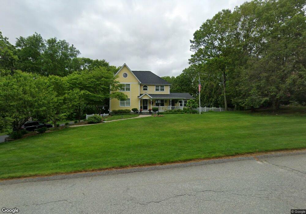
33 Rollingwood Dr Johnston, RI 02919
Bishop Heights NeighborhoodEstimated Value: $741,738 - $784,000
4
Beds
4
Baths
2,760
Sq Ft
$276/Sq Ft
Est. Value
About This Home
This home is located at 33 Rollingwood Dr, Johnston, RI 02919 and is currently estimated at $760,685, approximately $275 per square foot. 33 Rollingwood Dr is a home located in Providence County with nearby schools including Mazomanie Elementary School and Johnston Senior High School.
Ownership History
Date
Name
Owned For
Owner Type
Purchase Details
Closed on
Jul 31, 1996
Sold by
Leone Richard A
Bought by
Harrison Rebecca J
Current Estimated Value
Home Financials for this Owner
Home Financials are based on the most recent Mortgage that was taken out on this home.
Original Mortgage
$100,000
Interest Rate
8.27%
Create a Home Valuation Report for This Property
The Home Valuation Report is an in-depth analysis detailing your home's value as well as a comparison with similar homes in the area
Home Values in the Area
Average Home Value in this Area
Purchase History
| Date | Buyer | Sale Price | Title Company |
|---|---|---|---|
| Harrison Rebecca J | $215,000 | -- |
Source: Public Records
Mortgage History
| Date | Status | Borrower | Loan Amount |
|---|---|---|---|
| Closed | Harrison Rebecca J | $305,000 | |
| Closed | Harrison Rebecca J | $122,800 | |
| Closed | Harrison Rebecca J | $100,000 |
Source: Public Records
Tax History Compared to Growth
Tax History
| Year | Tax Paid | Tax Assessment Tax Assessment Total Assessment is a certain percentage of the fair market value that is determined by local assessors to be the total taxable value of land and additions on the property. | Land | Improvement |
|---|---|---|---|---|
| 2025 | $10,448 | $668,900 | $125,000 | $543,900 |
| 2024 | $10,234 | $668,900 | $125,000 | $543,900 |
| 2023 | $10,234 | $668,900 | $125,000 | $543,900 |
| 2022 | $7,548 | $456,000 | $107,000 | $349,000 |
| 2021 | $10,597 | $456,000 | $107,000 | $349,000 |
| 2018 | $12,010 | $436,900 | $108,400 | $328,500 |
| 2016 | $15,890 | $436,900 | $108,400 | $328,500 |
| 2015 | $11,167 | $385,200 | $103,500 | $281,700 |
| 2014 | $8,860 | $385,200 | $103,500 | $281,700 |
| 2013 | $11,075 | $385,200 | $103,500 | $281,700 |
Source: Public Records
Map
Nearby Homes
- 6 Christopher Dr
- 2 Woodvale Dr
- 112 Winsor Ave
- 110 Hopkins Ave
- 18 Shady Brook Cove Rd
- 42 Belfield Dr
- 63 Shore Dr
- 62 Orchard Ave
- 66 Orchard Ave
- 46 Woodsong Dr
- 0 Autumn Dr
- 2207 Hartford Ave
- 10 Helena Way
- 4 Belfield Dr Unit 1337603
- 99 Hilltop Dr
- 20 Country View Ln
- 3 Belfield Dr Unit 1337601
- 0 Country View Ln
- 0 Belfield Lot#2 Dr Unit 1337597
- 15 Chiswick Rd
- 31 Rollingwood Dr
- 35 Rollingwood Dr
- 0 Rollingwood Dr
- 37 Rollingwood Dr
- 32 Rollingwood Dr
- 30 Rollingwood Dr
- 6 Mathew Dr
- 4 Mathew Dr
- 1 Greenview Ct
- 27 Rollingwood Dr
- 28 Rollingwood Dr
- 36 Rollingwood Dr
- 5 Mathew Dr
- 10 Elizabeth Ann Dr
- 8 Elizabeth Ann Dr
- 8 Mathew Dr
- 3 Greenview Ct
- 4 Greenview Ct
- 6 Elizabeth Ann Dr
- 26 Rollingwood Dr