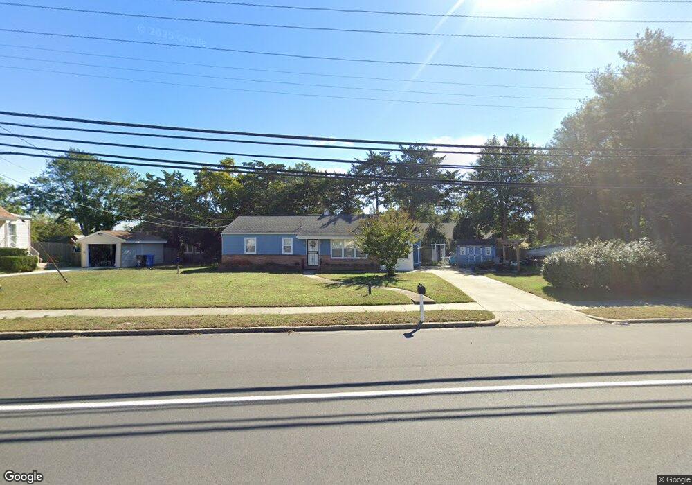
33 Route Us 9 N Marmora, NJ 08223
Estimated Value: $300,879 - $439,000
--
Bed
--
Bath
1,056
Sq Ft
$364/Sq Ft
Est. Value
About This Home
This home is located at 33 Route Us 9 N, Marmora, NJ 08223 and is currently estimated at $383,970, approximately $363 per square foot. 33 Route Us 9 N is a home located in Cape May County with nearby schools including Upper Township Primary School, Upper Township Elementary School, and Upper Township Middle School.
Ownership History
Date
Name
Owned For
Owner Type
Purchase Details
Closed on
Mar 28, 2003
Sold by
Boxer Beatrice
Bought by
Blankenship Donald R and Blankenship Cynthia P
Current Estimated Value
Home Financials for this Owner
Home Financials are based on the most recent Mortgage that was taken out on this home.
Original Mortgage
$110,000
Outstanding Balance
$47,637
Interest Rate
5.86%
Estimated Equity
$336,333
Create a Home Valuation Report for This Property
The Home Valuation Report is an in-depth analysis detailing your home's value as well as a comparison with similar homes in the area
Home Values in the Area
Average Home Value in this Area
Purchase History
| Date | Buyer | Sale Price | Title Company |
|---|---|---|---|
| Blankenship Donald R | $137,500 | -- |
Source: Public Records
Mortgage History
| Date | Status | Borrower | Loan Amount |
|---|---|---|---|
| Open | Blankenship Donald R | $110,000 |
Source: Public Records
Tax History Compared to Growth
Tax History
| Year | Tax Paid | Tax Assessment Tax Assessment Total Assessment is a certain percentage of the fair market value that is determined by local assessors to be the total taxable value of land and additions on the property. | Land | Improvement |
|---|---|---|---|---|
| 2025 | $4,266 | $185,900 | $112,700 | $73,200 |
| 2024 | $4,266 | $185,900 | $112,700 | $73,200 |
| 2023 | $4,056 | $185,900 | $112,700 | $73,200 |
| 2022 | $3,908 | $185,900 | $112,700 | $73,200 |
| 2021 | $3,766 | $185,900 | $112,700 | $73,200 |
| 2020 | $3,623 | $185,900 | $112,700 | $73,200 |
| 2019 | $3,527 | $185,900 | $112,700 | $73,200 |
| 2018 | $3,434 | $185,900 | $112,700 | $73,200 |
| 2017 | $3,391 | $185,900 | $112,700 | $73,200 |
| 2016 | $3,142 | $169,400 | $112,700 | $56,700 |
| 2015 | $3,058 | $169,400 | $112,700 | $56,700 |
| 2014 | $3,462 | $235,200 | $164,600 | $70,600 |
Source: Public Records
Map
Nearby Homes
- 32 Norwood Rd
- 125 N Shore Rd
- 1 Roosevelt Blvd
- 14 Lyndhurst Rd
- 202 N Shore Rd
- 14 Roberts Ave
- 16 Lenape Ln
- 246 Egret Ln
- 601 2nd Ave
- 430 S Shore Rd
- 527 N 527 N Shore Rd
- 507 Conch Dr
- 214 Bartram Ln
- 705 Route Us 9 S
- 3709 Waterview Blvd
- 3708 Westminster Ln
- 24 E Timber Dr
- 731 Oceancrest Ave
- 734 Stagecoach Rd
- 103 Somerset Ln
- 33 South Dr
- 37 Route Us 9 N
- 36 Allendale Rd
- 32 Allendale Rd
- 41 Route Us 9 N
- 34 Route Us 9 N
- 27 Route Us 9 N
- 4 Randolph Blvd
- 8 Randolph Blvd
- 33 Allendale Rd
- 31 Allendale Rd
- 100 Route Us 9 N
- 35 Allendale Rd
- 2 St Martins Place
- 7 Wistar Ave
- 25 Allendale Rd
- 37 Allendale Rd
- 14 Randolph Blvd
- 3 St Martins Place
- 4 St Martins Place