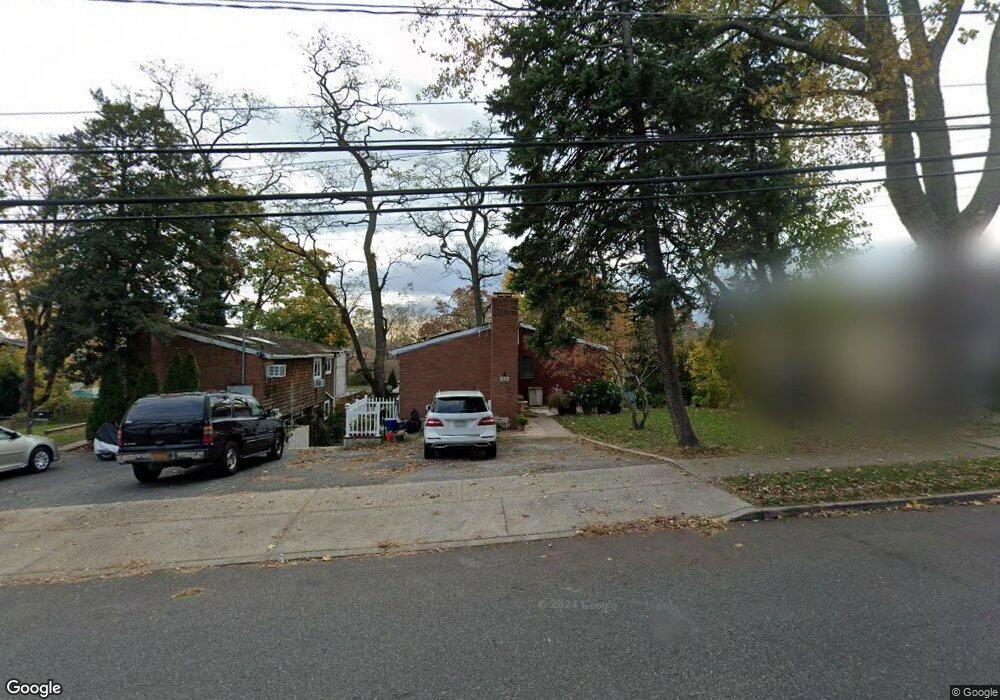
33 Sands Point Rd Unit A Port Washington, NY 11050
Estimated Value: $932,000
--
Bed
2
Baths
1,004
Sq Ft
$928/Sq Ft
Est. Value
About This Home
This home is located at 33 Sands Point Rd Unit A, Port Washington, NY 11050 and is currently estimated at $932,000, approximately $928 per square foot. 33 Sands Point Rd Unit A is a home located in Nassau County with nearby schools including Carrie Palmer Weber Middle School, Paul D. Schreiber Senior High School, and Happy Montessori School.
Ownership History
Date
Name
Owned For
Owner Type
Purchase Details
Closed on
Sep 8, 2017
Sold by
Kim Hyung Ro and Kim Sung Min
Bought by
Kim Linda Sun and Kim Sung Min
Current Estimated Value
Purchase Details
Closed on
Aug 6, 2001
Sold by
La Shitrit Inc
Bought by
Kim Hyung Ro
Purchase Details
Closed on
Dec 21, 2000
Sold by
Minnesota Na F & K Wells Fargo Bank
Bought by
Sa Shitrit Inc
Purchase Details
Closed on
Sep 5, 2000
Purchase Details
Closed on
May 18, 2000
Create a Home Valuation Report for This Property
The Home Valuation Report is an in-depth analysis detailing your home's value as well as a comparison with similar homes in the area
Home Values in the Area
Average Home Value in this Area
Purchase History
| Date | Buyer | Sale Price | Title Company |
|---|---|---|---|
| Kim Linda Sun | -- | Fidelity National Title | |
| Kim Linda Sun | -- | Fidelity National Title | |
| Kim Hyung Ro | $377,000 | Jeanine A Oberster | |
| Kim Hyung Ro | $377,000 | Jeanine A Oberster | |
| Sa Shitrit Inc | $300,000 | David Wiesman | |
| Sa Shitrit Inc | $300,000 | David Wiesman | |
| -- | -- | -- | |
| -- | -- | -- | |
| -- | $15,170,704 | -- | |
| -- | $15,170,704 | -- |
Source: Public Records
Tax History Compared to Growth
Tax History
| Year | Tax Paid | Tax Assessment Tax Assessment Total Assessment is a certain percentage of the fair market value that is determined by local assessors to be the total taxable value of land and additions on the property. | Land | Improvement |
|---|---|---|---|---|
| 2025 | $10,034 | $500 | $417 | $83 |
| 2024 | $2,029 | $500 | $417 | $83 |
| 2023 | $10,263 | $500 | $417 | $83 |
| 2022 | $10,263 | $500 | $417 | $83 |
| 2021 | $10,580 | $488 | $407 | $81 |
| 2020 | $11,134 | $989 | $806 | $183 |
| 2019 | $9,244 | $989 | $806 | $183 |
| 2018 | $9,244 | $989 | $0 | $0 |
| 2017 | $6,629 | $989 | $806 | $183 |
| 2016 | $8,827 | $989 | $806 | $183 |
| 2015 | $2,101 | $989 | $806 | $183 |
| 2014 | $2,101 | $989 | $806 | $183 |
| 2013 | $2,004 | $989 | $806 | $183 |
Source: Public Records
Map
Nearby Homes
- 78 Edgewood Rd
- 59 Edgewood Rd
- 44 Firwood Rd
- 42 Firwood Rd Unit A
- 68 Graywood Rd
- 50 Soundview Dr
- 11 Fishermans Dr
- 36 Fishermans Dr
- 130 Sands Point Rd
- 6 Pequot Ave
- 27 Juniper Rd
- 46 Linwood Rd N
- 46 Linwood Rd N Unit A and B
- 47 Marwood Rd N
- 38 Nesaquake Ave
- 13 Linwood Rd S
- 14 Marwood Rd S
- 1 Orchard Beach Blvd
- 13 Dunes Ln
- 13 Dunes Ln Unit A and B
- 31 Sands Point Rd
- 55 Sands Point Rd Unit B
- 35 Sands Point Rd
- 35 Sands Point Rd Unit A
- 35 Sands Point Rd Unit B
- 35 Sands Point Rd Unit B- Rt
- 36 Ashwood Rd
- 38 Ashwood Rd
- 38 Ashwood Rd Unit B
- 34 Ashwood Rd
- 40 Ashwood Rd Unit B
- 40 Ashwood Rd
- 37 Sands Point Rd
- 37 Sands Point Rd Unit A
- 32 Ashwood Rd
- 27 Sands Point Rd
- 42 Ashwood Rd
- 30 Ashwood Rd
- 39 Sands Point Rd
- 39 Sands Point Rd Unit A