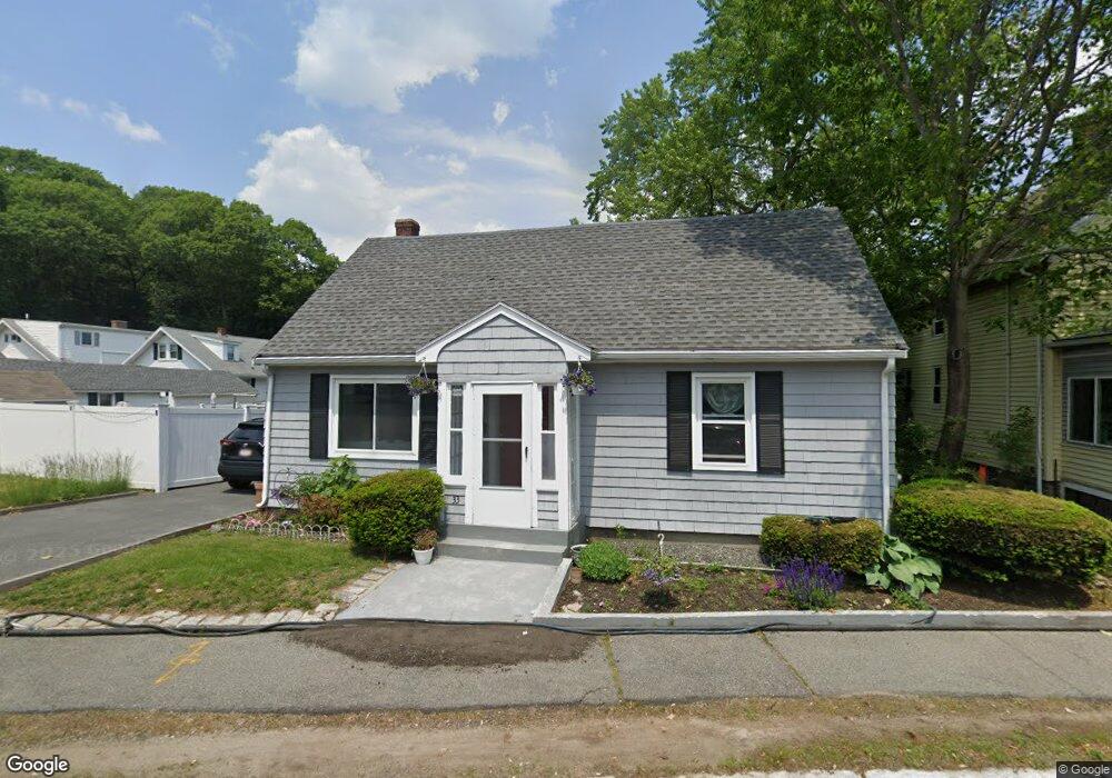
33 Saunders Rd Lynn, MA 01904
Indian Ridge NeighborhoodEstimated Value: $494,000 - $596,000
3
Beds
1
Bath
1,309
Sq Ft
$423/Sq Ft
Est. Value
About This Home
This home is located at 33 Saunders Rd, Lynn, MA 01904 and is currently estimated at $554,250, approximately $423 per square foot. 33 Saunders Rd is a home located in Essex County with nearby schools including Lynn Woods Elementary School, William R. Fallon School, and Pickering Middle School.
Ownership History
Date
Name
Owned For
Owner Type
Purchase Details
Closed on
Jul 19, 1996
Sold by
Ford Consumer Fin Co
Bought by
Hubbert Atieno and Nwogu Ezenwa
Current Estimated Value
Home Financials for this Owner
Home Financials are based on the most recent Mortgage that was taken out on this home.
Original Mortgage
$85,383
Interest Rate
8.28%
Mortgage Type
Purchase Money Mortgage
Create a Home Valuation Report for This Property
The Home Valuation Report is an in-depth analysis detailing your home's value as well as a comparison with similar homes in the area
Home Values in the Area
Average Home Value in this Area
Purchase History
| Date | Buyer | Sale Price | Title Company |
|---|---|---|---|
| Hubbert Atieno | $85,000 | -- | |
| Hubbert Atieno | $85,000 | -- | |
| Hubbert Atieno | $85,000 | -- | |
| Ford Consumer Fin Co | $78,200 | -- |
Source: Public Records
Mortgage History
| Date | Status | Borrower | Loan Amount |
|---|---|---|---|
| Open | Hubbert Atieno | $92,484 | |
| Closed | Hubbert Atieno | $85,383 |
Source: Public Records
Tax History
| Year | Tax Paid | Tax Assessment Tax Assessment Total Assessment is a certain percentage of the fair market value that is determined by local assessors to be the total taxable value of land and additions on the property. | Land | Improvement |
|---|---|---|---|---|
| 2025 | $4,991 | $481,800 | $187,800 | $294,000 |
| 2024 | $4,808 | $456,600 | $186,500 | $270,100 |
| 2023 | $4,700 | $421,500 | $186,500 | $235,000 |
| 2022 | $4,733 | $380,800 | $164,300 | $216,500 |
| 2021 | $4,237 | $325,200 | $140,500 | $184,700 |
| 2020 | $4,118 | $307,300 | $133,900 | $173,400 |
| 2019 | $4,158 | $290,800 | $126,500 | $164,300 |
| 2018 | $4,041 | $266,700 | $127,400 | $139,300 |
| 2017 | $3,928 | $251,800 | $119,600 | $132,200 |
| 2016 | $3,720 | $229,900 | $106,000 | $123,900 |
| 2015 | $3,481 | $207,800 | $99,400 | $108,400 |
Source: Public Records
Map
Nearby Homes
- 76 Bay State Rd
- 72 Bay State Rd
- 29 Saunders Rd
- 80 Bay State Rd
- 66 Bay State Rd
- 37 Saunders Rd
- 28 Saunders Rd
- 24 Saunders Rd
- 84 Bay State Rd
- 44 Saunders Rd
- 64 Bay State Rd
- 43 Saunders Rd
- 18 Saunders Rd
- 57 Bay State Rd
- 60 Bay State Rd
- 59 Bay State Rd
- 53 Bay State Rd
- 15 Saunders Rd
- 48 Saunders Rd
- 17 Saunders Rd
Your Personal Tour Guide
Ask me questions while you tour the home.