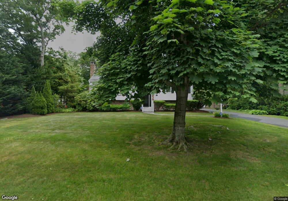
33 Seabreeze Dr Bourne, MA 2532
Estimated Value: $735,269 - $919,000
4
Beds
3
Baths
2,201
Sq Ft
$377/Sq Ft
Est. Value
About This Home
This home is located at 33 Seabreeze Dr, Bourne, MA 2532 and is currently estimated at $830,567, approximately $377 per square foot. 33 Seabreeze Dr is a home located in Barnstable County with nearby schools including Bourne High School, St Margaret Regional School, and Cadence Academy Preschool - Bourne.
Ownership History
Date
Name
Owned For
Owner Type
Purchase Details
Closed on
Aug 10, 2018
Sold by
Manning John and Manning Donna L
Bought by
John E & D L Manning Irt and Roeschlein
Current Estimated Value
Purchase Details
Closed on
Mar 25, 2005
Sold by
Mahony Denis and Mahony Frances B
Bought by
Manning Donna L and Manning John
Home Financials for this Owner
Home Financials are based on the most recent Mortgage that was taken out on this home.
Original Mortgage
$45,350
Interest Rate
5.56%
Mortgage Type
Purchase Money Mortgage
Purchase Details
Closed on
Aug 16, 2004
Sold by
Williamson Harley A and Williamson Mack B
Bought by
Mahony Denis and Mahony Frances B
Home Financials for this Owner
Home Financials are based on the most recent Mortgage that was taken out on this home.
Original Mortgage
$100,000
Interest Rate
6.16%
Mortgage Type
Purchase Money Mortgage
Purchase Details
Closed on
Jun 21, 2002
Sold by
Shea Ft
Bought by
Williamson Harley A and Williamson Phyllis R
Create a Home Valuation Report for This Property
The Home Valuation Report is an in-depth analysis detailing your home's value as well as a comparison with similar homes in the area
Purchase History
| Date | Buyer | Sale Price | Title Company |
|---|---|---|---|
| John E & D L Manning Irt | -- | -- | |
| John E & D L Manning Irt | -- | -- | |
| Manning Donna L | $450,000 | -- | |
| Manning Donna L | $450,000 | -- | |
| Mahony Denis | $395,000 | -- | |
| Mahony Denis | $395,000 | -- | |
| Williamson Harley A | $314,000 | -- | |
| Williamson Harley A | $314,000 | -- |
Source: Public Records
Mortgage History
| Date | Status | Borrower | Loan Amount |
|---|---|---|---|
| Previous Owner | Manning Donna L | $45,350 | |
| Previous Owner | Mahony Denis | $100,000 | |
| Previous Owner | Williamson Harley A | $241,693 |
Source: Public Records
Tax History
| Year | Tax Paid | Tax Assessment Tax Assessment Total Assessment is a certain percentage of the fair market value that is determined by local assessors to be the total taxable value of land and additions on the property. | Land | Improvement |
|---|---|---|---|---|
| 2025 | $4,959 | $634,900 | $246,700 | $388,200 |
| 2024 | $4,850 | $604,700 | $234,900 | $369,800 |
| 2023 | $4,758 | $540,100 | $207,900 | $332,200 |
| 2022 | $4,535 | $449,500 | $184,000 | $265,500 |
| 2021 | $4,298 | $399,100 | $167,500 | $231,600 |
| 2020 | $4,177 | $388,900 | $165,900 | $223,000 |
| 2019 | $4,158 | $395,600 | $184,300 | $211,300 |
| 2018 | $4,064 | $385,600 | $175,500 | $210,100 |
| 2017 | $3,778 | $366,800 | $173,900 | $192,900 |
| 2016 | $3,512 | $345,700 | $156,500 | $189,200 |
| 2015 | $3,248 | $322,500 | $133,300 | $189,200 |
Source: Public Records
Map
Nearby Homes
- 35 Benedict Rd
- 60 Bourne Neck Dr
- 5 Zoli Ln
- 203 County Rd
- 46 Holt Rd Unit B
- 46 Holt Rd
- 13 Laurel Hill Ct
- 40-A Lafayette Ave
- 4 Van Bummel Rd
- 44 Cotuit Rd
- 2 Applewood Ct
- 5 Sea Knoll Ct
- 56 Rip Van Winkle Way
- 12 Turnberry Rd Unit 12
- 60 Sandwich Rd
- 3 Fairway Dr Unit F
- 38 Old Bridge Rd
- 4 Hollyhock Knoll Ct Unit 4
- 4 Hollyhock Knoll Ct Unit 4
- 3 Honora Ln Unit 3
- 33 Sea Breeze Dr
- 27 Sea Breeze Dr
- 27 Seabreeze Dr
- 35 Seabreeze Dr
- 35 Sea Breeze Dr
- 25 Sea Breeze Dr
- 23 Sea Breeze Dr
- 34 Seabreeze Dr
- 34 Sea Breeze Dr
- 21 Sea Breeze Dr
- 32 Sea Breeze Dr
- 32 Seabreeze Dr
- 37 Sea Breeze Dr
- 37 Seabreeze Dr
- 36 Sea Breeze Dr
- 30 Sea Breeze Dr
- 30 Seabreeze Dr
- 19 Seabreeze Dr
- 19 Sea Breeze Dr
- 28 Seabreeze Dr
Your Personal Tour Guide
Ask me questions while you tour the home.