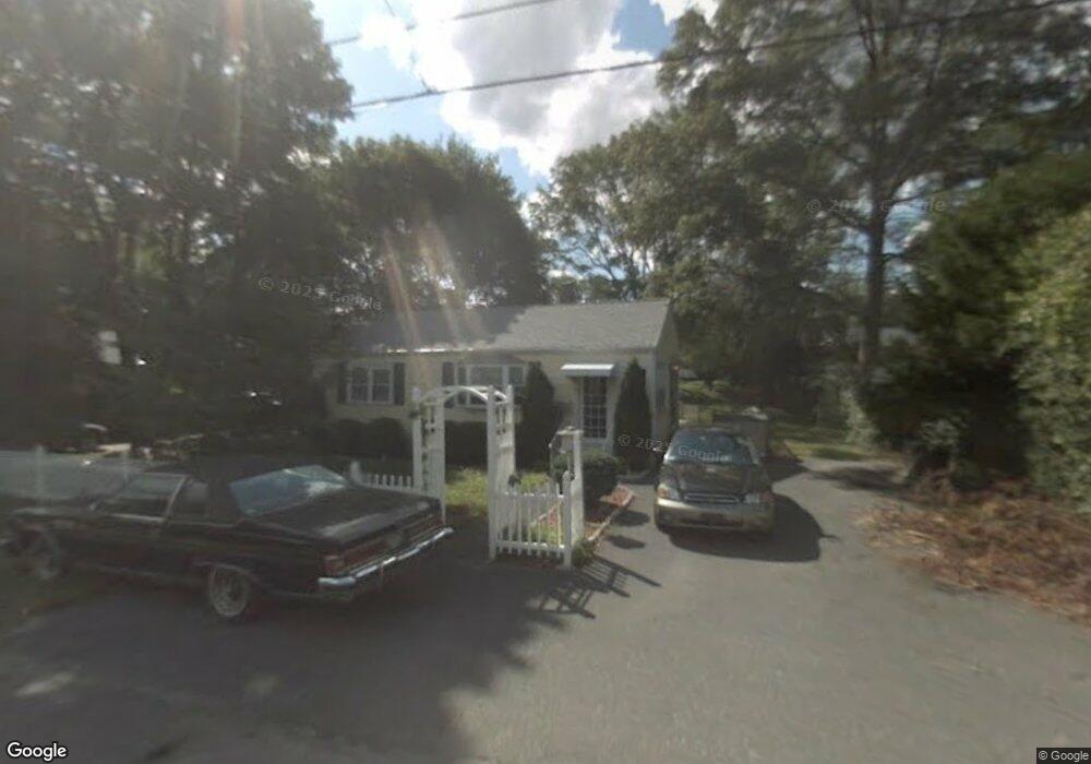
33 Selwyn Rd Randolph, MA 02368
South Randolph NeighborhoodEstimated Value: $442,000 - $514,000
2
Beds
1
Bath
872
Sq Ft
$541/Sq Ft
Est. Value
About This Home
This home is located at 33 Selwyn Rd, Randolph, MA 02368 and is currently estimated at $471,356, approximately $540 per square foot. 33 Selwyn Rd is a home located in Norfolk County with nearby schools including Randolph High School and Lighthouse Baptist Christian Academy.
Create a Home Valuation Report for This Property
The Home Valuation Report is an in-depth analysis detailing your home's value as well as a comparison with similar homes in the area
Home Values in the Area
Average Home Value in this Area
Tax History
| Year | Tax Paid | Tax Assessment Tax Assessment Total Assessment is a certain percentage of the fair market value that is determined by local assessors to be the total taxable value of land and additions on the property. | Land | Improvement |
|---|---|---|---|---|
| 2025 | $4,617 | $397,700 | $238,100 | $159,600 |
| 2024 | $4,422 | $386,200 | $233,500 | $152,700 |
| 2023 | $4,270 | $353,500 | $212,200 | $141,300 |
| 2022 | $4,189 | $308,000 | $176,900 | $131,100 |
| 2021 | $4,020 | $272,000 | $147,400 | $124,600 |
| 2020 | $4,042 | $271,100 | $147,400 | $123,700 |
| 2019 | $3,875 | $258,700 | $140,300 | $118,400 |
| 2018 | $3,622 | $228,100 | $130,000 | $98,100 |
| 2017 | $3,461 | $213,900 | $123,800 | $90,100 |
| 2016 | $3,374 | $194,000 | $112,600 | $81,400 |
| 2015 | $3,294 | $182,000 | $107,200 | $74,800 |
Source: Public Records
Map
Nearby Homes
- 20 Selwyn Rd
- 15 Hillsdale Rd
- 23 Nightingale Cir
- 28 Mcdonnell Dr
- 7 Van Beal Rd
- 71 Cole Terrace
- 276 Center St
- 5 Patterson Ave E
- 33 Hemlock Terrace
- 314 South St
- 7 Oakwood Ave
- 54 Highland Glen Dr
- 0 Payson Ave
- 4 Evan Cain Way
- 59 Highland Glen Dr Unit 328
- 6 Eagle Rd
- 159 Bittersweet Ln Unit 107
- 327 Union St
- 503 Page St
- 747 S Main St
Your Personal Tour Guide
Ask me questions while you tour the home.