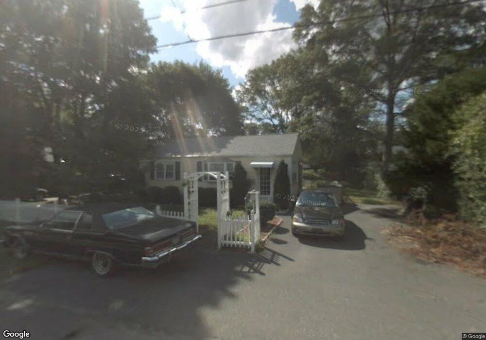
33 Selwyn Rd Randolph, MA 02368
South Randolph NeighborhoodEstimated Value: $430,000 - $476,000
2
Beds
1
Bath
872
Sq Ft
$523/Sq Ft
Est. Value
About This Home
This home is located at 33 Selwyn Rd, Randolph, MA 02368 and is currently estimated at $455,795, approximately $522 per square foot. 33 Selwyn Rd is a home located in Norfolk County with nearby schools including Randolph High School and Lighthouse Baptist Christian Academy.
Create a Home Valuation Report for This Property
The Home Valuation Report is an in-depth analysis detailing your home's value as well as a comparison with similar homes in the area
Home Values in the Area
Average Home Value in this Area
Tax History
We collect this data history from publicly available records. To have your information removed, we recommend requesting removal directly through your county’s website.
| Year | Tax Paid | Tax Assessment Tax Assessment Total Assessment is a certain percentage of the fair market value that is determined by local assessors to be the total taxable value of land and additions on the property. | Land | Improvement |
|---|---|---|---|---|
| 2025 | $4,617 | $397,700 | $238,100 | $159,600 |
| 2024 | $4,422 | $386,200 | $233,500 | $152,700 |
| 2023 | $4,270 | $353,500 | $212,200 | $141,300 |
| 2022 | $4,189 | $308,000 | $176,900 | $131,100 |
| 2021 | $4,020 | $272,000 | $147,400 | $124,600 |
| 2020 | $4,042 | $271,100 | $147,400 | $123,700 |
| 2019 | $3,875 | $258,700 | $140,300 | $118,400 |
| 2018 | $3,622 | $228,100 | $130,000 | $98,100 |
| 2017 | $3,461 | $213,900 | $123,800 | $90,100 |
| 2016 | $3,374 | $194,000 | $112,600 | $81,400 |
| 2015 | $3,294 | $182,000 | $107,200 | $74,800 |
Source: Public Records
Map
Nearby Homes
- 8 Stevens Terrace
- 10 Toscano Way Unit 10
- 24 Toscano Way Unit 24
- 18 Toscano Way Unit 18
- 20 Toscano Way Unit 20
- 65 Tiffany Dr
- 20 Millhouse Ave
- 71 Cole Terrace
- 10 N Glenway Ave
- 117 S Main St
- 189 South St
- 143 South St
- 20 Madison Ave
- 25 Gloversbrook Rd
- 153 Union St
- 346 South St
- 38 Druid Hill Ave E
- 158 Union St
- 6 Sunnyside Ave
- 159 Bittersweet Ln Unit 103
- 45 Selwyn Rd
- 39 Selwyn Rd
- 51 Selwyn Rd
- 378 Highland Ave
- 370 Highland Ave
- 386 Highland Ave
- 44 Selwyn Rd
- 38 Selwyn Rd
- 364 Highland Ave
- 32 Selwyn Rd
- 5 Stoughton St
- 10 Stoughton St
- 27 Selwyn Rd
- 8 Stoughton St
- 8 Stoughton St Unit 8
- 26 Selwyn Rd
- 389 Highland Ave
- 356 Highland Ave
- 6 Stoughton St
- 3 Stoughton St
Your Personal Tour Guide
Ask me questions while you tour the home.