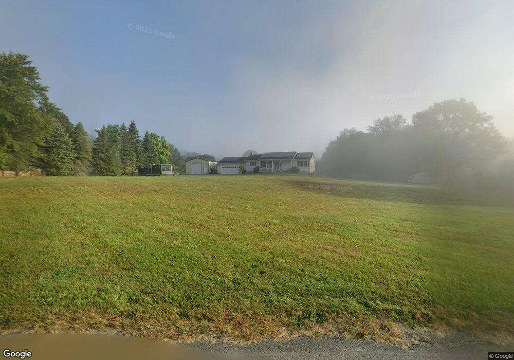
33 Shadowland Cove Rd Cheshire, MA 01225
Estimated Value: $421,000 - $535,000
3
Beds
2
Baths
1,404
Sq Ft
$339/Sq Ft
Est. Value
About This Home
This home is located at 33 Shadowland Cove Rd, Cheshire, MA 01225 and is currently estimated at $476,612, approximately $339 per square foot. 33 Shadowland Cove Rd is a home located in Berkshire County with nearby schools including Hoosac Valley Middle & High School.
Ownership History
Date
Name
Owned For
Owner Type
Purchase Details
Closed on
Mar 19, 2001
Sold by
Fletcher Joyce H
Bought by
Burdick Randy T and Burdick Diane M
Current Estimated Value
Create a Home Valuation Report for This Property
The Home Valuation Report is an in-depth analysis detailing your home's value as well as a comparison with similar homes in the area
Home Values in the Area
Average Home Value in this Area
Purchase History
| Date | Buyer | Sale Price | Title Company |
|---|---|---|---|
| Burdick Randy T | $35,000 | -- | |
| Burdick Randy T | $35,000 | -- |
Source: Public Records
Mortgage History
| Date | Status | Borrower | Loan Amount |
|---|---|---|---|
| Open | Burdick Randy T | $100,000 | |
| Closed | Burdick Randy T | $78,000 | |
| Closed | Burdick Randy T | $137,700 |
Source: Public Records
Tax History Compared to Growth
Tax History
| Year | Tax Paid | Tax Assessment Tax Assessment Total Assessment is a certain percentage of the fair market value that is determined by local assessors to be the total taxable value of land and additions on the property. | Land | Improvement |
|---|---|---|---|---|
| 2025 | $4,436 | $398,600 | $72,100 | $326,500 |
| 2024 | $4,494 | $388,400 | $68,000 | $320,400 |
| 2023 | $4,265 | $356,300 | $70,100 | $286,200 |
| 2022 | $3,651 | $286,100 | $73,700 | $212,400 |
| 2021 | $6,668 | $273,800 | $70,100 | $203,700 |
| 2020 | $3,492 | $259,800 | $70,100 | $189,700 |
| 2019 | $474 | $256,800 | $70,100 | $186,700 |
| 2018 | $3,235 | $247,700 | $70,100 | $177,600 |
| 2017 | $499 | $247,700 | $70,100 | $177,600 |
| 2016 | $3,037 | $247,700 | $70,100 | $177,600 |
| 2015 | $2,801 | $234,600 | $63,200 | $171,400 |
Source: Public Records
Map
Nearby Homes
- 59 Shadowland Cove Rd
- 457 Lanesboro Rd
- 21 Shadowland Cove Rd
- 50 Shadowland Cove Rd
- 81 Shadowland Cove Rd
- 32 Shadowland Cove Rd
- 97 Shadowland Cove Rd
- 445 Lanesboro Rd
- 17 Willow Cove Rd
- 163 Willow Cove Rd
- 0 Shadowland Cove Rd
- 113 Shadowland Cove Rd
- 149 Willow Cove Rd
- 169 Willow Cove Rd
- 92 Shadowland Cove Rd
- 92 Shadowland Cove Rd
- 484 Lanesboro Rd
- 102 Shadowland Cove Rd
- 429 Lanesboro Rd
- 139 Willow Cove Rd