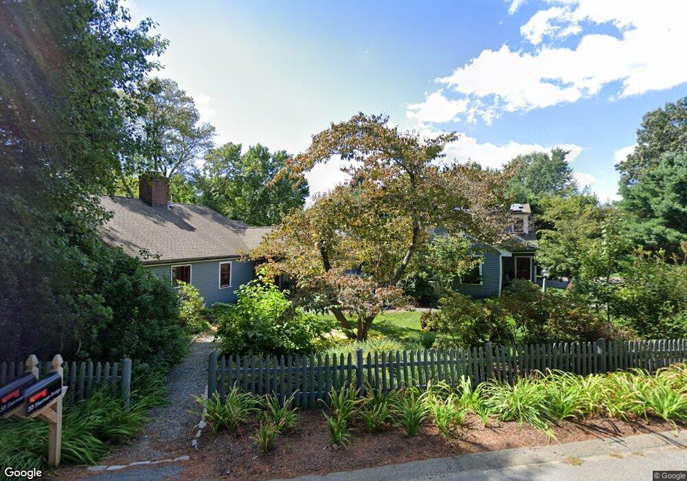
33 Sherman Bridge Rd Wayland, MA 01778
Estimated Value: $1,346,817 - $1,615,000
2
Beds
3
Baths
3,046
Sq Ft
$479/Sq Ft
Est. Value
About This Home
This home is located at 33 Sherman Bridge Rd, Wayland, MA 01778 and is currently estimated at $1,459,454, approximately $479 per square foot. 33 Sherman Bridge Rd is a home located in Middlesex County with nearby schools including Wayland High School, Willow Hill School, and Corwin-Russell School at Broccoli Hall.
Ownership History
Date
Name
Owned For
Owner Type
Purchase Details
Closed on
Sep 11, 1992
Sold by
Tucker Richard F
Bought by
Weichsel Bernard E
Current Estimated Value
Home Financials for this Owner
Home Financials are based on the most recent Mortgage that was taken out on this home.
Original Mortgage
$202,000
Interest Rate
8.08%
Mortgage Type
Purchase Money Mortgage
Create a Home Valuation Report for This Property
The Home Valuation Report is an in-depth analysis detailing your home's value as well as a comparison with similar homes in the area
Home Values in the Area
Average Home Value in this Area
Purchase History
| Date | Buyer | Sale Price | Title Company |
|---|---|---|---|
| Weichsel Bernard E | $310,000 | -- |
Source: Public Records
Mortgage History
| Date | Status | Borrower | Loan Amount |
|---|---|---|---|
| Open | Weichsel Bernard E | $190,000 | |
| Closed | Weichsel Bernard E | $100,000 | |
| Closed | Weichsel Bernard E | $202,000 | |
| Previous Owner | Weichsel Bernard E | $100,000 |
Source: Public Records
Tax History Compared to Growth
Tax History
| Year | Tax Paid | Tax Assessment Tax Assessment Total Assessment is a certain percentage of the fair market value that is determined by local assessors to be the total taxable value of land and additions on the property. | Land | Improvement |
|---|---|---|---|---|
| 2025 | $19,015 | $1,216,600 | $601,500 | $615,100 |
| 2024 | $18,005 | $1,160,100 | $572,700 | $587,400 |
| 2023 | $16,910 | $1,015,600 | $520,500 | $495,100 |
| 2022 | $16,374 | $892,300 | $431,100 | $461,200 |
| 2021 | $15,803 | $853,300 | $392,100 | $461,200 |
| 2020 | $13,728 | $773,000 | $392,100 | $380,900 |
| 2019 | $14,640 | $800,900 | $373,500 | $427,400 |
| 2018 | $13,733 | $761,700 | $373,500 | $388,200 |
| 2017 | $13,271 | $731,600 | $355,500 | $376,100 |
| 2016 | $12,298 | $709,200 | $348,300 | $360,900 |
| 2015 | $11,976 | $651,200 | $348,300 | $302,900 |
Source: Public Records
Map
Nearby Homes
- 15 Lewis Path
- 11 Grove St
- 12 Pine Ridge Rd
- 134 Chestnut Cir
- 224 Aspen Cir
- 25 Birchwood Ln
- 49 Birchwood Ln Unit 49
- 93 Old Sudbury Rd
- 244 Lincoln Rd
- 236 Lincoln Rd
- 50 3 Ponds Rd
- Lot 5 Sailaway Ln
- Lot 4 Sailaway Ln
- 2 Betts Way
- 8 Mina Way
- 0 Elm Unit 73282184
- Lot 9 Sailaway Ln
- 4 Betts Way
- 122 Sand Gully Rd N Unit B
- 941 Concord Rd
- 39 Sherman Bridge Rd
- 220 Oxbow Rd
- 34 Sherman Bridge Rd
- 36 Sherman Bridge Rd
- 213 Oxbow Rd
- 43 Sherman Bridge Rd
- 43 Sherman Bridge Rd Unit 43
- 40 Sherman Bridge Rd
- 216 Oxbow Rd
- 45 Sherman's Bridge Rd
- 44 Sherman Bridge Rd
- 45 Sherman Bridge Rd
- 211 Oxbow Rd
- 9 Alpine Rd
- 212 Oxbow Rd
- 209 Oxbow Rd
- 27 Sherman Bridge Rd
- 47 Sherman Bridge Rd
- 47 Sherman's Bridge Rd
- 46 Sherman Bridge Rd