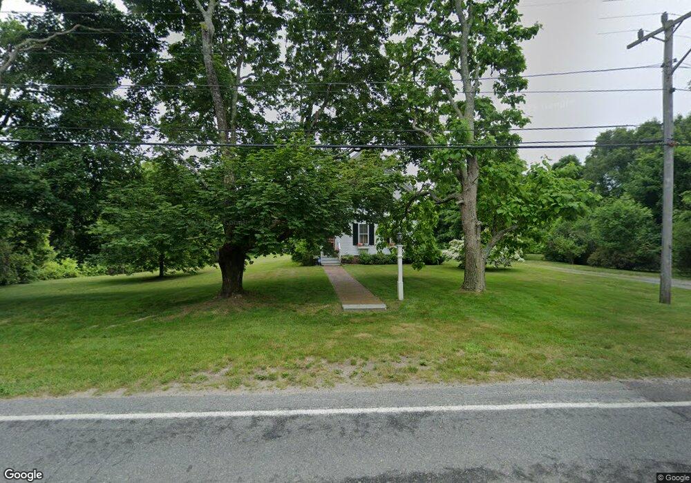
33 Shore Rd Bourne, MA 2532
Estimated Value: $619,000 - $824,000
4
Beds
2
Baths
1,807
Sq Ft
$382/Sq Ft
Est. Value
About This Home
This home is located at 33 Shore Rd, Bourne, MA 2532 and is currently estimated at $690,367, approximately $382 per square foot. 33 Shore Rd is a home located in Barnstable County with nearby schools including Bourne High School, St Margaret Regional School, and Cadence Academy Preschool - Bourne.
Ownership History
Date
Name
Owned For
Owner Type
Purchase Details
Closed on
Sep 14, 2001
Sold by
Dugeau Charles E
Bought by
Migliaccio John J
Current Estimated Value
Home Financials for this Owner
Home Financials are based on the most recent Mortgage that was taken out on this home.
Original Mortgage
$220,000
Outstanding Balance
$85,788
Interest Rate
6.99%
Mortgage Type
Purchase Money Mortgage
Estimated Equity
$604,579
Create a Home Valuation Report for This Property
The Home Valuation Report is an in-depth analysis detailing your home's value as well as a comparison with similar homes in the area
Home Values in the Area
Average Home Value in this Area
Purchase History
| Date | Buyer | Sale Price | Title Company |
|---|---|---|---|
| Migliaccio John J | $275,000 | -- |
Source: Public Records
Mortgage History
| Date | Status | Borrower | Loan Amount |
|---|---|---|---|
| Open | Migliaccio John J | $220,000 |
Source: Public Records
Tax History Compared to Growth
Tax History
| Year | Tax Paid | Tax Assessment Tax Assessment Total Assessment is a certain percentage of the fair market value that is determined by local assessors to be the total taxable value of land and additions on the property. | Land | Improvement |
|---|---|---|---|---|
| 2025 | $4,329 | $554,300 | $221,200 | $333,100 |
| 2024 | $4,447 | $554,500 | $210,600 | $343,900 |
| 2023 | $4,513 | $512,300 | $207,100 | $305,200 |
| 2022 | $4,399 | $436,000 | $183,200 | $252,800 |
| 2021 | $4,284 | $397,800 | $166,700 | $231,100 |
| 2020 | $4,239 | $394,700 | $165,100 | $229,600 |
| 2019 | $4,018 | $382,300 | $165,100 | $217,200 |
| 2018 | $3,843 | $364,600 | $157,300 | $207,300 |
| 2017 | $3,406 | $330,700 | $148,000 | $182,700 |
| 2016 | $3,326 | $327,400 | $148,000 | $179,400 |
| 2015 | $3,141 | $311,900 | $132,500 | $179,400 |
Source: Public Records
Map
Nearby Homes
- 60 Sandwich Rd
- 14 Great Rock Rd
- 90-92 Sandwich Rd Unit 2
- 46 Holt Rd
- 46 Holt Rd Unit A
- 7 Freeman St
- 151 - 153 Main St
- 13 Laurel Hill Ct
- 47 Harrison Ave
- 9 Harrison Ave
- 5 Sea Knoll Ct
- 17 Harrison Ave
- 9 Sea Knoll Ct
- 26 Carnoustie Rd
- 85 Maple St
- 203 County Rd
- 405 Village Dr Unit 405
- 405 Village Dr
- 23 Seabreeze Dr
- 1 Hollyhock Knoll Ct Unit 1