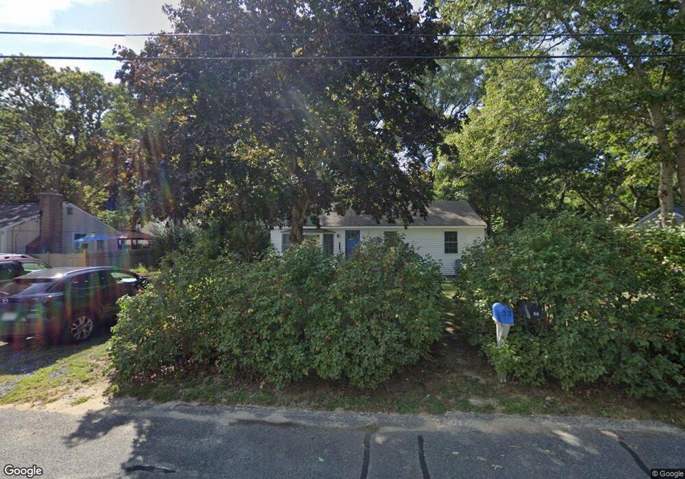
33 Signe Rd Dennis, MA 02638
Dennis Village NeighborhoodEstimated Value: $521,000 - $890,000
3
Beds
1
Bath
800
Sq Ft
$770/Sq Ft
Est. Value
About This Home
This home is located at 33 Signe Rd, Dennis, MA 02638 and is currently estimated at $615,892, approximately $769 per square foot. 33 Signe Rd is a home located in Barnstable County with nearby schools including Dennis-Yarmouth Regional High School.
Ownership History
Date
Name
Owned For
Owner Type
Purchase Details
Closed on
Aug 17, 2021
Sold by
Miller Russell C
Bought by
Miller Russell C and Widuch Deborah A
Current Estimated Value
Purchase Details
Closed on
Aug 7, 1998
Sold by
Crecco Richard A and Crecco Jane M
Bought by
Miller Alma M
Home Financials for this Owner
Home Financials are based on the most recent Mortgage that was taken out on this home.
Original Mortgage
$67,200
Interest Rate
6.92%
Mortgage Type
Purchase Money Mortgage
Create a Home Valuation Report for This Property
The Home Valuation Report is an in-depth analysis detailing your home's value as well as a comparison with similar homes in the area
Home Values in the Area
Average Home Value in this Area
Purchase History
| Date | Buyer | Sale Price | Title Company |
|---|---|---|---|
| Miller Russell C | -- | None Available | |
| Miller Alma M | $84,000 | -- |
Source: Public Records
Mortgage History
| Date | Status | Borrower | Loan Amount |
|---|---|---|---|
| Previous Owner | Miller Alma M | $67,200 |
Source: Public Records
Tax History
| Year | Tax Paid | Tax Assessment Tax Assessment Total Assessment is a certain percentage of the fair market value that is determined by local assessors to be the total taxable value of land and additions on the property. | Land | Improvement |
|---|---|---|---|---|
| 2025 | $2,033 | $469,500 | $184,500 | $285,000 |
| 2024 | $1,887 | $429,800 | $177,500 | $252,300 |
| 2023 | $1,709 | $365,900 | $136,500 | $229,400 |
| 2022 | $1,643 | $293,400 | $123,000 | $170,400 |
| 2021 | $1,568 | $260,000 | $120,600 | $139,400 |
| 2020 | $1,573 | $257,900 | $131,500 | $126,400 |
| 2019 | $1,688 | $273,600 | $161,200 | $112,400 |
| 2018 | $1,427 | $225,100 | $122,800 | $102,300 |
| 2017 | $1,364 | $221,800 | $122,800 | $99,000 |
| 2016 | $1,341 | $205,400 | $122,800 | $82,600 |
| 2015 | $1,315 | $205,400 | $122,800 | $82,600 |
| 2014 | $1,174 | $184,900 | $102,300 | $82,600 |
Source: Public Records
Map
Nearby Homes
- 26 S West Dr
- 59 Main St Unit 19-2
- 59 Route 6a Unit 29-4
- 59 Massachusetts 6a Unit 19-2
- 568 Route 6a
- 268 Main St
- 20 Bray Farm Rd S
- 15 Musket Ln
- 6 Thomas Ct
- 15 Signal Hill Dr
- 64 Kates Path
- 54 Kates Path Unit 54
- 100 Kates Path Unit 100
- 35 Crown Grant Dr
- 15 John Hall Cartway Unit 15
- 52 Uncle Bobs Way
- 228 Kates Path
- 93 Stratford Ln
- 32 Captain Walsh Dr
- 930 Old Bass River Rd
Your Personal Tour Guide
Ask me questions while you tour the home.