33 Spaulding Rd Palmyra, ME 04965
Estimated Value: $263,651 - $378,000
3
Beds
1
Bath
832
Sq Ft
$364/Sq Ft
Est. Value
About This Home
This home is located at 33 Spaulding Rd, Palmyra, ME 04965 and is currently estimated at $302,550, approximately $363 per square foot. 33 Spaulding Rd is a home located in Somerset County with nearby schools including Somerset Elementary School, St Albans Consolidated, and Nokomis Regional Middle School/High School.
Ownership History
Date
Name
Owned For
Owner Type
Purchase Details
Closed on
Sep 12, 2005
Sold by
Adams Michael L and Adams Rose A
Bought by
Fernald Travis P
Current Estimated Value
Home Financials for this Owner
Home Financials are based on the most recent Mortgage that was taken out on this home.
Original Mortgage
$151,905
Outstanding Balance
$78,950
Interest Rate
5.79%
Mortgage Type
Commercial
Estimated Equity
$223,600
Create a Home Valuation Report for This Property
The Home Valuation Report is an in-depth analysis detailing your home's value as well as a comparison with similar homes in the area
Purchase History
| Date | Buyer | Sale Price | Title Company |
|---|---|---|---|
| Fernald Travis P | -- | -- |
Source: Public Records
Mortgage History
| Date | Status | Borrower | Loan Amount |
|---|---|---|---|
| Open | Fernald Travis P | $151,905 |
Source: Public Records
Tax History
| Year | Tax Paid | Tax Assessment Tax Assessment Total Assessment is a certain percentage of the fair market value that is determined by local assessors to be the total taxable value of land and additions on the property. | Land | Improvement |
|---|---|---|---|---|
| 2025 | $2,620 | $264,600 | $51,070 | $213,530 |
| 2024 | $2,426 | $220,500 | $42,560 | $177,940 |
| 2023 | $2,426 | $220,500 | $42,560 | $177,940 |
| 2022 | $2,519 | $148,200 | $32,500 | $115,700 |
| 2021 | $2,631 | $148,200 | $32,500 | $115,700 |
| 2020 | $2,668 | $148,200 | $32,500 | $115,700 |
| 2019 | $2,608 | $148,200 | $32,500 | $115,700 |
| 2018 | $2,730 | $145,600 | $29,900 | $115,700 |
| 2017 | $2,621 | $145,600 | $29,900 | $115,700 |
| 2016 | $2,535 | $142,800 | $27,100 | $115,700 |
| 2015 | $2,370 | $142,800 | $27,100 | $115,700 |
| 2012 | -- | $141,400 | $25,700 | $115,700 |
Source: Public Records
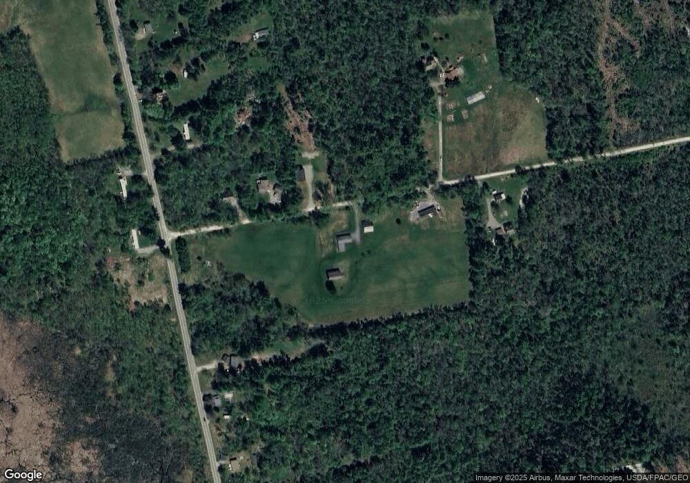
Map
Nearby Homes
- M2 L21-2 S Ridge Rd
- 1 Gleneagle Ct Unit 1
- 161 Waverly Ave
- 34 Waverly Ave
- Lot 8 Dogtown Rd
- 233 Madawaska Ave
- M5, L87-1 Main St
- M1 L36-3 Main St
- 296 N Main St
- 104 Madawaska Ave
- lot 43 Bates St
- 154 Main St
- 59 Camp Rd
- 005 School St
- 173 Somerset Ave
- 0 Hartland
- 185 Main St
- 67 Tacconet Rd
- 61 Industrial Park St
- 616 Peltoma Ave
- 43 Spaulding Rd
- 26 Spaulding Rd
- 18 Spaulding Rd
- 14 Spaulding Rd
- 16 Rave Rd
- 394 Madawaska Rd
- 53 Spaulding Rd
- 0 Spaulding Rd
- 8 Rave Rd
- 48 Spaulding Rd
- 404 Madawaska Rd
- 400 Madawaska Rd
- 373 Madawaska Rd
- 342 Madawaska Rd
- 361 Madawaska Rd
- 350 Madawaska Rd
- 410 Madawaska Rd
- 340 Madawaska Rd
- 330 Madawaska Rd
- 103 Spaulding Rd
Your Personal Tour Guide
Ask me questions while you tour the home.