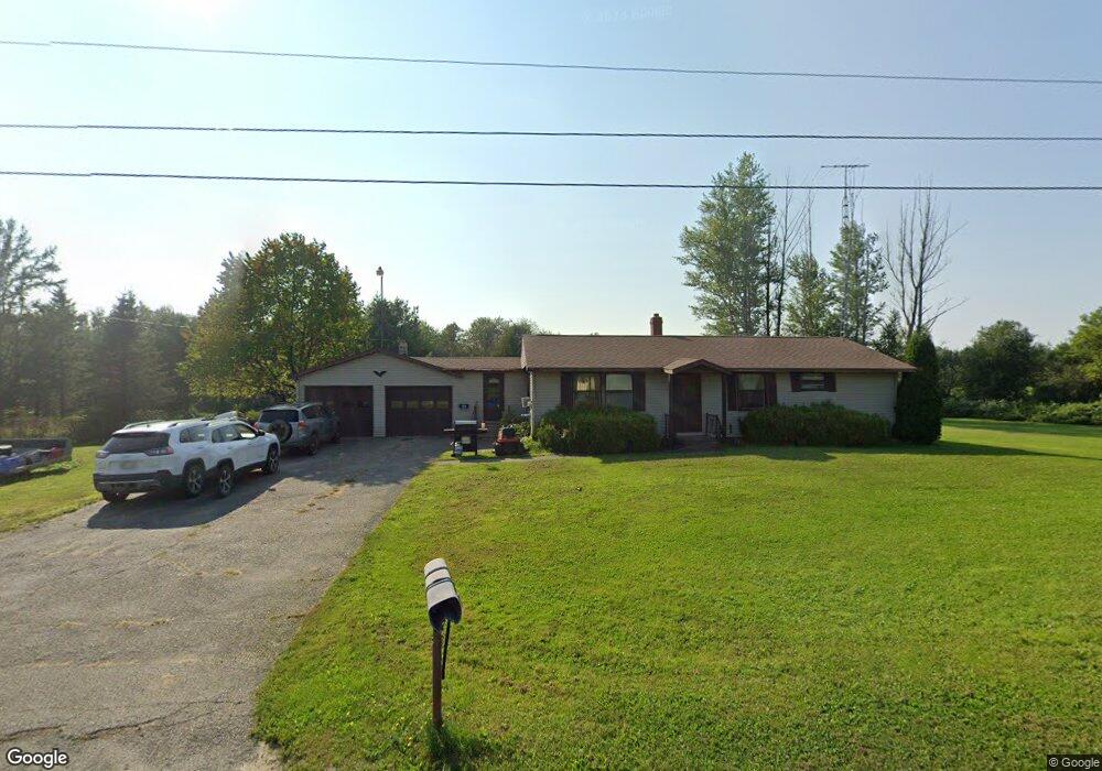
33 Station Rd New Limerick, ME 04761
Estimated Value: $170,000 - $209,000
3
Beds
1
Bath
1,008
Sq Ft
$182/Sq Ft
Est. Value
About This Home
This home is located at 33 Station Rd, New Limerick, ME 04761 and is currently estimated at $183,861, approximately $182 per square foot. 33 Station Rd is a home located in Aroostook County with nearby schools including Mill Pond School and Hodgdon Middle/High School.
Ownership History
Date
Name
Owned For
Owner Type
Purchase Details
Closed on
Apr 2, 2010
Sold by
London Bruce W
Bought by
Hanning Cindi S
Current Estimated Value
Home Financials for this Owner
Home Financials are based on the most recent Mortgage that was taken out on this home.
Original Mortgage
$109,765
Outstanding Balance
$72,890
Interest Rate
4.94%
Mortgage Type
FHA
Estimated Equity
$110,971
Purchase Details
Closed on
Oct 17, 2005
Sold by
Mcguire Gary J and Mcguire Lisa M
Bought by
London Bruce W
Home Financials for this Owner
Home Financials are based on the most recent Mortgage that was taken out on this home.
Original Mortgage
$64,800
Interest Rate
5.78%
Mortgage Type
Commercial
Create a Home Valuation Report for This Property
The Home Valuation Report is an in-depth analysis detailing your home's value as well as a comparison with similar homes in the area
Purchase History
| Date | Buyer | Sale Price | Title Company |
|---|---|---|---|
| Hanning Cindi S | -- | -- | |
| London Bruce W | -- | -- |
Source: Public Records
Mortgage History
| Date | Status | Borrower | Loan Amount |
|---|---|---|---|
| Open | Hanning Cindi S | $109,765 | |
| Previous Owner | London Bruce W | $64,800 |
Source: Public Records
Tax History
| Year | Tax Paid | Tax Assessment Tax Assessment Total Assessment is a certain percentage of the fair market value that is determined by local assessors to be the total taxable value of land and additions on the property. | Land | Improvement |
|---|---|---|---|---|
| 2022 | $835 | $111,300 | $16,000 | $95,300 |
| 2021 | $927 | $92,700 | $13,300 | $79,400 |
| 2020 | $927 | $92,700 | $13,300 | $79,400 |
| 2019 | $927 | $92,700 | $13,300 | $79,400 |
| 2018 | $834 | $92,700 | $13,300 | $79,400 |
| 2017 | $857 | $92,700 | $13,300 | $79,400 |
| 2016 | $788 | $92,700 | $13,300 | $79,400 |
| 2014 | $742 | $92,700 | $13,300 | $79,400 |
| 2013 | $672 | $89,600 | $13,300 | $76,300 |
Source: Public Records
Map
Nearby Homes
- 1020 County Rd
- Lot U County Rd
- 713 Drews Lake Rd
- 101 S South Shore Rd
- 105 S Shore Rd
- 0 County Rd Unit U 24034245
- Lot-5-1 Burton Rd
- Lot 23 Smyrna St
- 862 Hemore Rd
- Lot 12 Winter Rd
- 2048 County Rd
- 20 Hemore Rd
- M8 P/O 1 Drews Mill Rd
- 226 Laskey Rd
- Lot 25-6 W
- Lot 31C B Rd
- 995 B Rd
- 33 Columbia St
- 3 Sunnyside St
- 165 New Limerick Rd
Your Personal Tour Guide
Ask me questions while you tour the home.