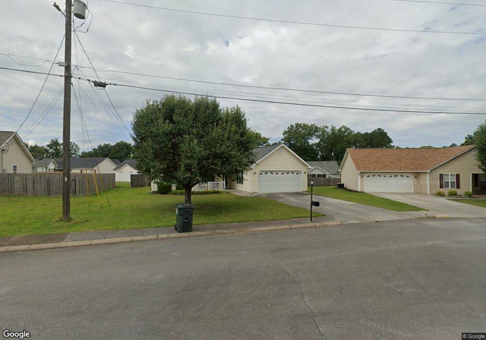
33 Stone Edge Ct Fort Oglethorpe, GA 30742
Estimated Value: $260,319 - $301,000
3
Beds
2
Baths
1,313
Sq Ft
$214/Sq Ft
Est. Value
About This Home
This home is located at 33 Stone Edge Ct, Fort Oglethorpe, GA 30742 and is currently estimated at $281,080, approximately $214 per square foot. 33 Stone Edge Ct is a home located in Catoosa County with nearby schools including Cloud Springs Elementary School, Lakeview Middle School, and Lakeview-Fort Oglethorpe High School.
Ownership History
Date
Name
Owned For
Owner Type
Purchase Details
Closed on
Apr 5, 2007
Sold by
Root Jim E
Bought by
Chadwick Donna
Current Estimated Value
Home Financials for this Owner
Home Financials are based on the most recent Mortgage that was taken out on this home.
Original Mortgage
$103,920
Outstanding Balance
$61,405
Interest Rate
6.1%
Mortgage Type
New Conventional
Estimated Equity
$219,675
Purchase Details
Closed on
Jul 14, 2000
Bought by
Root Jim E
Create a Home Valuation Report for This Property
The Home Valuation Report is an in-depth analysis detailing your home's value as well as a comparison with similar homes in the area
Home Values in the Area
Average Home Value in this Area
Purchase History
| Date | Buyer | Sale Price | Title Company |
|---|---|---|---|
| Chadwick Donna | $129,900 | -- | |
| Root Jim E | $88,000 | -- |
Source: Public Records
Mortgage History
| Date | Status | Borrower | Loan Amount |
|---|---|---|---|
| Open | Chadwick Donna | $103,920 | |
| Closed | Chadwick Donna | $19,485 |
Source: Public Records
Tax History
| Year | Tax Paid | Tax Assessment Tax Assessment Total Assessment is a certain percentage of the fair market value that is determined by local assessors to be the total taxable value of land and additions on the property. | Land | Improvement |
|---|---|---|---|---|
| 2025 | $1,874 | $96,082 | $11,000 | $85,082 |
| 2024 | $2,194 | $92,586 | $11,000 | $81,586 |
| 2023 | $1,926 | $72,198 | $11,000 | $61,198 |
| 2022 | $1,496 | $56,890 | $11,000 | $45,890 |
| 2021 | $1,416 | $56,890 | $11,000 | $45,890 |
| 2020 | $1,505 | $50,960 | $11,000 | $39,960 |
| 2019 | $1,349 | $48,960 | $9,000 | $39,960 |
| 2018 | $1,534 | $48,960 | $9,000 | $39,960 |
| 2017 | $1,328 | $46,061 | $7,200 | $38,861 |
| 2016 | $1,294 | $43,172 | $7,200 | $35,972 |
| 2015 | -- | $43,172 | $7,200 | $35,972 |
| 2014 | -- | $43,172 | $7,200 | $35,972 |
| 2013 | -- | $41,445 | $6,912 | $34,533 |
Source: Public Records
Map
Nearby Homes
- 47 Spring Place Dr
- 699 Colony Cir
- 351 Franklin Cir
- 128 Franklin Cir
- 792 Colony Cir
- 425 Franklin Cir
- 54 Franklin Cir
- 180 Gem Dr
- 875 Colony Cir
- 2003 Cedar Creek Dr
- 304 Cedar Creek Dr
- 74 Flagstone Dr
- 239 Flagstone Dr
- 265 S Cedar Ln
- 344 Flagstone Dr
- 329 Flagstone Dr
- 183 Evergreen Cir
- 179 Evergreen Cir
- 175 Evergreen Cir
- 182 Evergreen Cir
- 63 Spring Place Dr
- 45 Stone Edge Ct
- 372 Colony Cir
- 386 Colony Cir
- 43 Spring Place Dr
- 358 Colony Cir
- 398 Colony Cir
- 89 Spring Place Dr
- 48 Stone Edge Ct
- 340 Colony Cir
- 412 Colony Cir
- 38 Stone Edge Ct
- 60 Spring Place Dr
- 68 Spring Place Dr
- 103 Spring Place Dr
- 28 Stone Edge Ct
- 373 Colony Cir
- 34 Spring Place Dr
- 1904 Colony Cir
- 361 Colony Cir
Your Personal Tour Guide
Ask me questions while you tour the home.