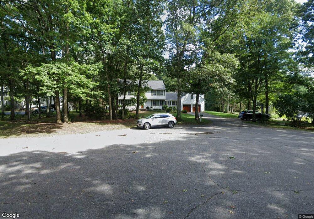
33 Stoneybrook Rd Sherborn, MA 01770
Estimated Value: $1,353,205 - $1,788,000
4
Beds
4
Baths
9,999
Sq Ft
$155/Sq Ft
Est. Value
About This Home
This home is located at 33 Stoneybrook Rd, Sherborn, MA 01770 and is currently estimated at $1,545,801, approximately $154 per square foot. 33 Stoneybrook Rd is a home located in Middlesex County with nearby schools including Pine Hill Elementary School, Dover-Sherborn Regional Middle School, and Dover-Sherborn Regional High School.
Ownership History
Date
Name
Owned For
Owner Type
Purchase Details
Closed on
Aug 30, 2002
Sold by
Mcgrath Robert F and Mcgrath Elizabeth J
Bought by
Batchelor Tracy and Batchelor Lucy
Current Estimated Value
Home Financials for this Owner
Home Financials are based on the most recent Mortgage that was taken out on this home.
Original Mortgage
$619,000
Outstanding Balance
$259,426
Interest Rate
6.55%
Mortgage Type
Purchase Money Mortgage
Estimated Equity
$1,286,375
Create a Home Valuation Report for This Property
The Home Valuation Report is an in-depth analysis detailing your home's value as well as a comparison with similar homes in the area
Home Values in the Area
Average Home Value in this Area
Purchase History
| Date | Buyer | Sale Price | Title Company |
|---|---|---|---|
| Batchelor Tracy | $860,000 | -- |
Source: Public Records
Mortgage History
| Date | Status | Borrower | Loan Amount |
|---|---|---|---|
| Open | Batchelor Tracy | $619,000 |
Source: Public Records
Tax History
| Year | Tax Paid | Tax Assessment Tax Assessment Total Assessment is a certain percentage of the fair market value that is determined by local assessors to be the total taxable value of land and additions on the property. | Land | Improvement |
|---|---|---|---|---|
| 2025 | $20,231 | $1,220,200 | $487,600 | $732,600 |
| 2024 | $22,525 | $1,328,900 | $487,600 | $841,300 |
| 2023 | $20,159 | $1,119,300 | $487,600 | $631,700 |
| 2022 | $18,699 | $982,600 | $474,600 | $508,000 |
| 2021 | $6,205 | $943,900 | $474,600 | $469,300 |
| 2020 | $18,368 | $943,900 | $474,600 | $469,300 |
| 2019 | $5,305 | $938,000 | $474,600 | $463,400 |
| 2018 | $10,065 | $923,100 | $474,600 | $448,500 |
| 2017 | $17,682 | $864,200 | $474,600 | $389,600 |
| 2016 | $17,591 | $855,200 | $474,600 | $380,600 |
| 2015 | $17,144 | $843,700 | $469,600 | $374,100 |
| 2014 | $16,380 | $805,300 | $449,600 | $355,700 |
Source: Public Records
Map
Nearby Homes
- 174 S Main St
- 32 Cider Hill Ln
- 20 Nason Hill Rd
- 59 Spywood Rd
- 54 Spywood Rd
- 59 Russett Hill Rd
- 00000 S Main St and Bullard St
- 14 Sewall Brook Ln
- 41 Ivy Ln
- 27 Spywood Rd
- 21 Spywood Rd
- 14 Fiske Pond Rd
- 5 Farm Rd
- 65 Farm Road Lot 6
- 6 Beech St
- 90 Maple St
- 137 Lake St
- 2 Towne Lyne Rd
- 119 Middlesex St
- 22 Sunset Way Unit 22
- 35 Stoneybrook Rd
- 29 Stoneybrook Rd
- 36 Stoneybrook Rd
- 27 Stoneybrook Rd
- 30 Stoney Brook Rd
- 30 Stoneybrook Rd
- 23 Stoneybrook Rd
- 26 Stoneybrook Rd
- 21 Stoneybrook Rd
- 24 Stoneybrook Rd
- 188 S Main St
- 184 S Main St
- 194 S Main St
- 20 Stoneybrook Rd
- 182 S Main St
- 198 S Main St
- 180 S Main St
- 16 Stoneybrook Rd
- 15 Stoneybrook Rd
- 193 S Main St
Your Personal Tour Guide
Ask me questions while you tour the home.