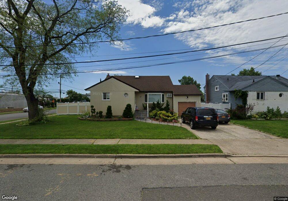
33 Suffolk St Freeport, NY 11520
Estimated Value: $675,556 - $683,000
3
Beds
2
Baths
1,416
Sq Ft
$480/Sq Ft
Est. Value
About This Home
This home is located at 33 Suffolk St, Freeport, NY 11520 and is currently estimated at $679,278, approximately $479 per square foot. 33 Suffolk St is a home located in Nassau County with nearby schools including Columbus Avenue School, Caroline G. Atkinson Intermediate School, and John W Dodd Middle School.
Ownership History
Date
Name
Owned For
Owner Type
Purchase Details
Closed on
Jan 19, 2018
Sold by
Talavera Ceferino and Valle Ledys F
Bought by
Service Christopher A and Service Natasha N
Current Estimated Value
Home Financials for this Owner
Home Financials are based on the most recent Mortgage that was taken out on this home.
Original Mortgage
$363,298
Outstanding Balance
$309,882
Interest Rate
4.37%
Mortgage Type
FHA
Estimated Equity
$369,396
Purchase Details
Closed on
Feb 16, 2001
Sold by
Lozano Fabio and Lozano Hilda
Bought by
Talavera Ceferino
Create a Home Valuation Report for This Property
The Home Valuation Report is an in-depth analysis detailing your home's value as well as a comparison with similar homes in the area
Home Values in the Area
Average Home Value in this Area
Purchase History
| Date | Buyer | Sale Price | Title Company |
|---|---|---|---|
| Service Christopher A | $370,000 | -- | |
| Talavera Ceferino | $229,000 | Frederick Rudin |
Source: Public Records
Mortgage History
| Date | Status | Borrower | Loan Amount |
|---|---|---|---|
| Open | Service Christopher A | $363,298 |
Source: Public Records
Tax History
| Year | Tax Paid | Tax Assessment Tax Assessment Total Assessment is a certain percentage of the fair market value that is determined by local assessors to be the total taxable value of land and additions on the property. | Land | Improvement |
|---|---|---|---|---|
| 2025 | $8,345 | $388 | $185 | $203 |
| 2024 | $841 | $388 | $185 | $203 |
Source: Public Records
Map
Nearby Homes
- 587 Miller Ave
- 825 S Ocean Ave Unit 2
- 766 Guy Lombardo Ave
- 744 S Long Beach Ave
- 470 Miller Ave
- 54 Robert St
- 870 Guy Lombardo Ave
- 725 Miller Ave Unit 117
- 725 Miller Ave Unit 439
- 725 Miller Ave Unit 318
- 725 Miller Ave Unit 235
- 725 Miller Ave Unit 106
- 68 Robert St
- 7 Howard Ave
- 74 Tyler St
- 57 Hubbard Ave
- 16 Layton St
- 39 Layton St
- 67 Howard Ave
- 292 Westside Ave
- 39 Suffolk St
- 784 S Ocean Ave
- 788 S Ocean Ave
- 760 S Ocean Ave
- 19 Suffolk St
- 603 Miller Ave
- 609 Miller Ave
- 792 S Ocean Ave
- 615 Miller Ave
- 754 S Ocean Ave
- 619 Miller Ave
- 798 S Ocean Ave
- 625 Miller Ave
- 750 S Ocean Ave
- 272 Woodcleft Ave
- 581 Miller Ave
- 804 S Ocean Ave
- 629 Miller Ave
- 63 Suffolk St
- 238 Woodcleft Ave
Your Personal Tour Guide
Ask me questions while you tour the home.