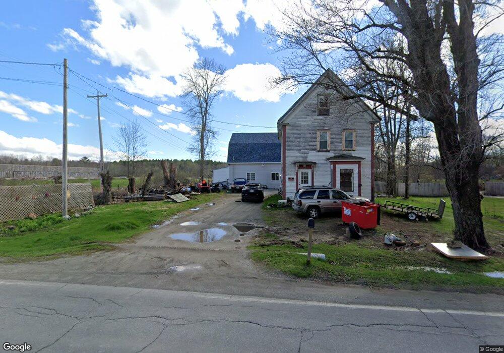
33 Troy Rd Burnham, ME 04922
Estimated Value: $250,057 - $288,000
Studio
--
Bath
--
Sq Ft
10,890
Sq Ft
About This Home
This home is located at 33 Troy Rd, Burnham, ME 04922 and is currently estimated at $265,514. 33 Troy Rd is a home located in Waldo County with nearby schools including Manson Park School, Vickery School, and Sad #53 Alternative Education.
Ownership History
Date
Name
Owned For
Owner Type
Purchase Details
Closed on
Oct 12, 2022
Sold by
Gipson Michael and Berry Vicki R
Bought by
Berry Vicki R
Current Estimated Value
Home Financials for this Owner
Home Financials are based on the most recent Mortgage that was taken out on this home.
Original Mortgage
$133,951
Outstanding Balance
$127,949
Interest Rate
5.89%
Mortgage Type
Purchase Money Mortgage
Estimated Equity
$137,565
Purchase Details
Closed on
Apr 22, 2008
Sold by
Gipson Vicki
Bought by
Gipson Michael and Gipson Vicki
Purchase Details
Closed on
Apr 9, 2008
Sold by
Henry Lonnie J
Bought by
Gipson Vicki R
Create a Home Valuation Report for This Property
The Home Valuation Report is an in-depth analysis detailing your home's value as well as a comparison with similar homes in the area
Purchase History
| Date | Buyer | Sale Price | Title Company |
|---|---|---|---|
| Berry Vicki R | -- | None Available | |
| Gipson Michael | -- | -- | |
| Gipson Vicki R | -- | -- |
Source: Public Records
Mortgage History
| Date | Status | Borrower | Loan Amount |
|---|---|---|---|
| Open | Berry Vicki R | $133,951 |
Source: Public Records
Tax History
| Year | Tax Paid | Tax Assessment Tax Assessment Total Assessment is a certain percentage of the fair market value that is determined by local assessors to be the total taxable value of land and additions on the property. | Land | Improvement |
|---|---|---|---|---|
| 2025 | $3,523 | $187,900 | $19,500 | $168,400 |
| 2024 | $3,326 | $187,900 | $19,500 | $168,400 |
| 2023 | $3,138 | $187,900 | $19,500 | $168,400 |
| 2022 | $2,729 | $133,100 | $13,800 | $119,300 |
| 2021 | $2,755 | $133,100 | $13,800 | $119,300 |
| 2020 | $2,569 | $133,100 | $13,800 | $119,300 |
| 2019 | $2,569 | $133,100 | $13,800 | $119,300 |
| 2018 | $2,569 | $133,100 | $13,800 | $119,300 |
| 2016 | -- | $133,100 | $13,800 | $119,300 |
| 2010 | -- | $79,100 | $13,800 | $65,300 |
Source: Public Records
Map
Nearby Homes
- 3 Pine Ln
- Lot 14-2,3 Perkins Rd
- 1423 Main St
- Lot 4A Off Morgan Rd
- M 5 Lot 41 Morgan Rd
- M 5 Lot 40 Morgan Rd
- M5 Lot 43 Morgan Rd
- 480 Johnson Flat Rd
- 69 N Horse Back Rd
- 15-A Snakeroot Rd
- 43 Whitten Rd
- 389 Mutton Ln
- 44 Charles Taylor Ln
- 366 Webb Rd
- 126 Rancourt Ln
- 12-03 Horseback Rd
- 156 Railroad St
- 110 Hill Rd
- 21 Water St
- 28 Sebasticook Dr
- 29 Troy Rd
- 33 Troy Rd
- 44 Troy Rd
- 41-45 Troy Rd
- 30 Troy Rd
- Lot 24 A Troy Rd
- 61 Troy Rd
- 26 Troy Rd
- Lot 13 Whitten & Troy Rd
- Lot 13 Troy Rd
- Lot 14 Whitten & Troy Rd
- Lot 14 Troy Rd
- Lot 11 Whitten & Troy Rd
- Lot 11 Troy Rd
- Lot 12 Whitten & Troy Rd
- Lot 12 Troy Rd
- Lot 9 Whitten & Troy Rd
- 1 Troy Rd
- 2 Herbert Chase Ln
- Lot 7 Whitten & Troy Rd
Your Personal Tour Guide
Ask me questions while you tour the home.