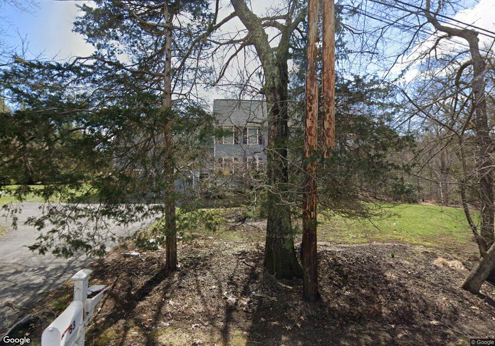
33 Turner St Millis, MA 02054
Estimated Value: $804,000 - $956,000
4
Beds
3
Baths
2,877
Sq Ft
$307/Sq Ft
Est. Value
About This Home
This home is located at 33 Turner St, Millis, MA 02054 and is currently estimated at $882,651, approximately $306 per square foot. 33 Turner St is a home located in Norfolk County with nearby schools including Clyde F Brown, Millis Middle School, and Millis High School.
Ownership History
Date
Name
Owned For
Owner Type
Purchase Details
Closed on
Jul 19, 2007
Sold by
Somers Christine M and Somers Mark R
Bought by
Johnson Brooks D and Johnson Naida E S
Current Estimated Value
Home Financials for this Owner
Home Financials are based on the most recent Mortgage that was taken out on this home.
Original Mortgage
$462,650
Interest Rate
6.54%
Mortgage Type
Purchase Money Mortgage
Purchase Details
Closed on
Nov 8, 1994
Sold by
Whelan Gregory W
Bought by
Somers Mark R and Somers Christine M
Purchase Details
Closed on
Sep 23, 1994
Sold by
Riverview Rt
Bought by
Whelan W Gregory
Create a Home Valuation Report for This Property
The Home Valuation Report is an in-depth analysis detailing your home's value as well as a comparison with similar homes in the area
Home Values in the Area
Average Home Value in this Area
Purchase History
| Date | Buyer | Sale Price | Title Company |
|---|---|---|---|
| Johnson Brooks D | $487,000 | -- | |
| Somers Mark R | $225,460 | -- | |
| Whelan W Gregory | $65,000 | -- |
Source: Public Records
Mortgage History
| Date | Status | Borrower | Loan Amount |
|---|---|---|---|
| Open | Whelan W Gregory | $467,354 | |
| Closed | Johnson Brooks D | $462,650 | |
| Previous Owner | Whelan W Gregory | $145,000 | |
| Previous Owner | Whelan W Gregory | $127,000 |
Source: Public Records
Tax History
| Year | Tax Paid | Tax Assessment Tax Assessment Total Assessment is a certain percentage of the fair market value that is determined by local assessors to be the total taxable value of land and additions on the property. | Land | Improvement |
|---|---|---|---|---|
| 2025 | $10,147 | $618,700 | $208,300 | $410,400 |
| 2024 | $9,857 | $600,300 | $208,300 | $392,000 |
| 2023 | $9,473 | $541,600 | $156,400 | $385,200 |
| 2022 | $9,391 | $497,400 | $164,600 | $332,800 |
| 2021 | $9,496 | $484,000 | $164,600 | $319,400 |
| 2020 | $9,305 | $462,000 | $153,900 | $308,100 |
| 2019 | $7,867 | $420,700 | $113,400 | $307,300 |
| 2018 | $7,581 | $420,700 | $113,400 | $307,300 |
| 2017 | $7,397 | $401,600 | $125,600 | $276,000 |
| 2016 | $7,004 | $401,600 | $125,600 | $276,000 |
| 2015 | $6,827 | $401,600 | $125,600 | $276,000 |
Source: Public Records
Map
Nearby Homes
- 200 Pleasant St
- 188 Pleasant St
- 1 Granite Dr
- 12 Ariana Ln
- 5 Apple Rock Rd
- 40 Lakeshore Dr
- 43 Whichita Rd
- 20 Pennacook St
- 33 Whichita Rd
- 18 Shawnee Rd
- 99 Leland Rd
- 10 Populatic Street Extension
- 33 Spencer St
- 292 Main St
- 298 Main St
- 13 Teresa Dr
- 14 Teresa Dr
- 52 Orchard St
- 3 Niantic St
- 16 Keeney Pond Rd
- 93 Holbrook St
- 32 Turner St
- 0 Turner St
- 91 Holbrook St
- 34 Turner St
- 89 Holbrook St
- 92 Holbrook St
- 95 Holbrook St
- 8 Margauxs Way
- 8 Margauxs Way Unit 40
- 4 Margauxs Way
- 4 Margauxs Way Unit 4
- 4 Margauxs Way Unit 4
- 12 Margauxs Way
- 1 Lois Ln
- 1 Lois Ln Unit B1
- 37 Lois Ln
- 37 Lois Ln Unit 37
- 10 Dean St
- 3A Lois Ln
Your Personal Tour Guide
Ask me questions while you tour the home.