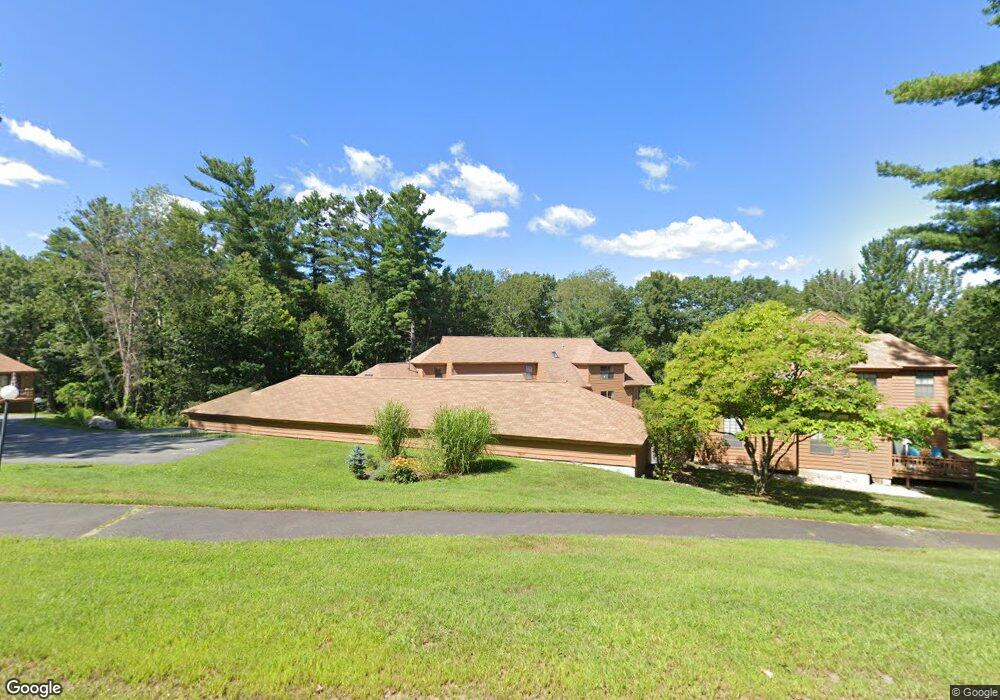
33 W Meadow Rd Haverhill, MA 01832
West Parish NeighborhoodEstimated Value: $442,646 - $558,000
2
Beds
2
Baths
1,740
Sq Ft
$286/Sq Ft
Est. Value
About This Home
This home is located at 33 W Meadow Rd, Haverhill, MA 01832 and is currently estimated at $497,662, approximately $286 per square foot. 33 W Meadow Rd is a home located in Essex County with nearby schools including Tilton Elementary School, Haverhill High School, and Silver Hill Elementary School.
Ownership History
Date
Name
Owned For
Owner Type
Purchase Details
Closed on
Feb 8, 2024
Sold by
Hennessey Michael P and Hennessey Renee T
Bought by
Hennessey Irt and Dalton
Current Estimated Value
Purchase Details
Closed on
Apr 16, 2019
Sold by
Atwood Rt and Atwood
Bought by
Hennessey Michael P and Hennessey Renee T
Home Financials for this Owner
Home Financials are based on the most recent Mortgage that was taken out on this home.
Original Mortgage
$200,000
Interest Rate
4.4%
Mortgage Type
New Conventional
Create a Home Valuation Report for This Property
The Home Valuation Report is an in-depth analysis detailing your home's value as well as a comparison with similar homes in the area
Home Values in the Area
Average Home Value in this Area
Purchase History
| Date | Buyer | Sale Price | Title Company |
|---|---|---|---|
| Hennessey Irt | -- | None Available | |
| Hennessey Michael P | $308,900 | -- |
Source: Public Records
Mortgage History
| Date | Status | Borrower | Loan Amount |
|---|---|---|---|
| Previous Owner | Hennessey Michael P | $200,000 |
Source: Public Records
Tax History Compared to Growth
Tax History
| Year | Tax Paid | Tax Assessment Tax Assessment Total Assessment is a certain percentage of the fair market value that is determined by local assessors to be the total taxable value of land and additions on the property. | Land | Improvement |
|---|---|---|---|---|
| 2025 | $4,301 | $401,600 | $0 | $401,600 |
| 2024 | $4,122 | $387,400 | $0 | $387,400 |
| 2023 | $3,985 | $357,400 | $0 | $357,400 |
| 2022 | $3,925 | $308,600 | $0 | $308,600 |
| 2021 | $3,712 | $276,200 | $0 | $276,200 |
| 2020 | $3,631 | $267,000 | $0 | $267,000 |
| 2019 | $3,306 | $237,000 | $0 | $237,000 |
| 2018 | $3,323 | $228,200 | $0 | $228,200 |
| 2017 | $3,281 | $218,900 | $0 | $218,900 |
| 2016 | $3,216 | $209,400 | $0 | $209,400 |
| 2015 | $3,050 | $198,700 | $0 | $198,700 |
Source: Public Records
Map
Nearby Homes
- 1 W Parish Ct
- 12 Perkins Ct Unit 12
- 16 W Parish Ct
- 43 W Parish Ct Unit 30-A
- 216 Morgan Dr Unit 216
- 3 Lucy Way
- 81 Clement Ct
- 132 W Meadow Rd Unit 18
- 43 Mercury Terrace
- 39 Clement Ct Unit 58A
- 21 Mercury Terrace
- 2 Danforth Ct
- 48 Coolidge Ave
- 13 Sylvan Hill Crossing
- 23 Sylvan Hill Crossing
- 33 Lake St
- 655 W Lowell Ave Unit 6
- 635 W Lowell Ave Unit 7
- 450 Lake St
- 51 Kelly St
- 35 W Meadow Rd
- 31 W Meadow Rd
- 29 W Meadow Rd
- 27 W Meadow Rd
- 25 W Meadow Rd
- 25 W Meadow Rd Unit 25
- 25 W Meadow Rd Unit 13
- 23 W Meadow Rd
- 21 W Meadow Rd
- 19 W Meadow Rd
- 23 W Meadow Rd Unit 12-F
- 19 W Meadow Rd Unit 19-12
- 23 W Meadow Rd Unit 23,7
- 23 W Meadow Rd Unit 23/75
- 39 W Meadow Rd
- 37 W Meadow Rd
- 37 W Meadow Rd Unit 37
- 41 W Meadow Rd
- 17 W Meadow Rd
- 15 W Meadow Rd