
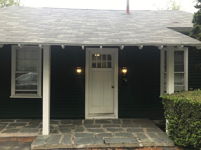
33 Ward St Middletown, RI 02842
2
Beds
2
Baths
900
Sq Ft
13,939
Sq Ft Lot
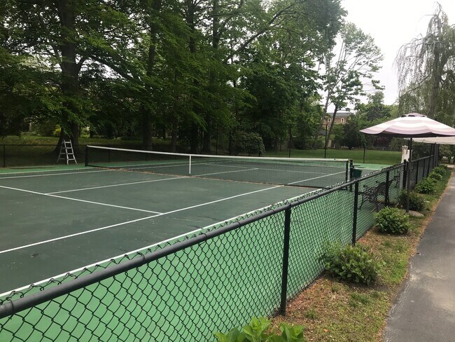
About This Home
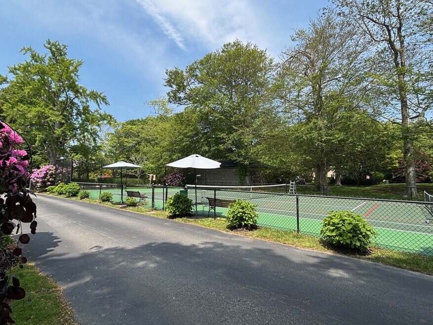
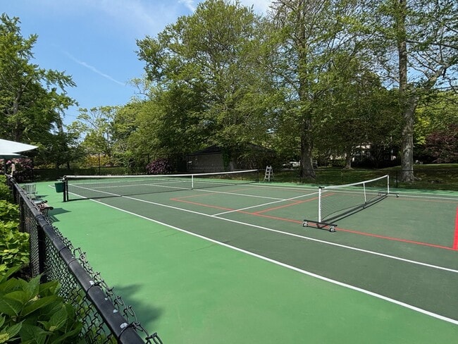
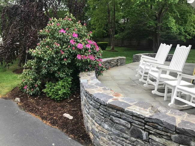
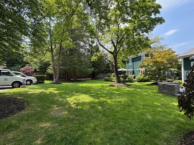
Cozy flat with a tennis court available for the summer. This unit has an eat in kitchen with granite counter tops. 2 full bathrooms. 4 raised twin beds with storage underneath. Tenants have full access to the tennis courts, yard, and laundry room. Available 6/1 to 8/31 for $13,500 whole summer.
Listing Provided By

Map
Property History
| Date | Event | Price | List to Sale | Price per Sq Ft |
|---|---|---|---|---|
| 12/02/2025 12/02/25 | For Rent | $4,500 | -- | -- |
Nearby Homes
- 476 Green End Ave
- 310 Corey Ln
- 223 Corey Ln
- 16 Ward Ave
- 10 Oceanview Dr
- 10 Smithfield Dr
- 81 Beagle Dr
- 55 John Clarke Rd Unit 8
- 55 John Clarke Rd Unit 3
- 138 Green End Ave
- 23 Indian Hill Cir
- 74 Valley Rd
- 7 Restmere Terrace
- 206 Reservoir Rd
- 118 Wolcott Ave
- 1 Shangri-La Ln
- 14 Kay Blvd
- 23 Livingston Place
- 181 Center Ave
- 141 Gray Craig Rd
Your Personal Tour Guide
Ask me questions while you tour the home.