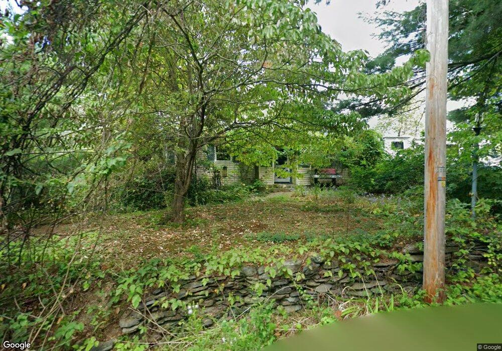
33 Watt St Lunenburg, MA 01462
Estimated Value: $369,083 - $450,000
3
Beds
1
Bath
1,408
Sq Ft
$289/Sq Ft
Est. Value
About This Home
This home is located at 33 Watt St, Lunenburg, MA 01462 and is currently estimated at $407,271, approximately $289 per square foot. 33 Watt St is a home located in Worcester County with nearby schools including Lunenburg Primary School and Lunenburg High School.
Create a Home Valuation Report for This Property
The Home Valuation Report is an in-depth analysis detailing your home's value as well as a comparison with similar homes in the area
Home Values in the Area
Average Home Value in this Area
Tax History
| Year | Tax Paid | Tax Assessment Tax Assessment Total Assessment is a certain percentage of the fair market value that is determined by local assessors to be the total taxable value of land and additions on the property. | Land | Improvement |
|---|---|---|---|---|
| 2025 | $4,163 | $289,900 | $101,900 | $188,000 |
| 2024 | $3,859 | $273,700 | $96,100 | $177,600 |
| 2023 | $3,782 | $258,700 | $87,400 | $171,300 |
| 2022 | $3,448 | $200,600 | $72,800 | $127,800 |
| 2020 | $3,541 | $195,400 | $72,900 | $122,500 |
| 2019 | $3,291 | $176,200 | $68,700 | $107,500 |
| 2018 | $2,918 | $148,100 | $68,700 | $79,400 |
| 2017 | $2,759 | $138,100 | $63,100 | $75,000 |
| 2016 | $2,577 | $131,400 | $60,000 | $71,400 |
| 2015 | $2,321 | $126,700 | $56,900 | $69,800 |
Source: Public Records
Map
Nearby Homes
- 12 Cortland Cir Unit 12
- 146 Elmwood Rd
- 11 Longwood Dr
- 110 Burrage St
- 2 Gabes Place
- 309 Reservoir Rd
- 45 Spring St
- 367 Mulpus Rd
- 120 Robbs Hill Rd
- 22 Townsend Rd
- Lot 5 Townsend Rd
- 24 Townsend Rd
- 146-148 Kilburn St
- 17 Longley Rd
- 11 Longley Rd Unit K8
- 11 Longley Rd Unit G3
- 35 Leominster Rd
- 44 Fire Road 12
- 43 Longley Rd
- 105 Townsend Rd Unit 1
Your Personal Tour Guide
Ask me questions while you tour the home.