33 Woods Edge Rd Unit 33 Old Tappan, NJ 07675
Estimated Value: $964,495 - $1,000,000
--
Bed
--
Bath
2,168
Sq Ft
$457/Sq Ft
Est. Value
About This Home
This home is located at 33 Woods Edge Rd Unit 33, Old Tappan, NJ 07675 and is currently estimated at $990,624, approximately $456 per square foot. 33 Woods Edge Rd Unit 33 is a home located in Bergen County with nearby schools including T. Baldwin Demarest Elementary School, Charles DeWolf Middle School, and Northern Valley Regional High School at Old Tappan.
Ownership History
Date
Name
Owned For
Owner Type
Purchase Details
Closed on
Nov 21, 1997
Sold by
The Village At Old Tappan Llc
Bought by
Ha Tai Don and Ha Young Mi
Current Estimated Value
Home Financials for this Owner
Home Financials are based on the most recent Mortgage that was taken out on this home.
Original Mortgage
$230,000
Outstanding Balance
$37,280
Interest Rate
7.14%
Estimated Equity
$953,344
Create a Home Valuation Report for This Property
The Home Valuation Report is an in-depth analysis detailing your home's value as well as a comparison with similar homes in the area
Home Values in the Area
Average Home Value in this Area
Purchase History
| Date | Buyer | Sale Price | Title Company |
|---|---|---|---|
| Ha Tai Don | $349,950 | -- |
Source: Public Records
Mortgage History
| Date | Status | Borrower | Loan Amount |
|---|---|---|---|
| Open | Ha Tai Don | $230,000 |
Source: Public Records
Tax History Compared to Growth
Tax History
| Year | Tax Paid | Tax Assessment Tax Assessment Total Assessment is a certain percentage of the fair market value that is determined by local assessors to be the total taxable value of land and additions on the property. | Land | Improvement |
|---|---|---|---|---|
| 2025 | $14,007 | $636,100 | $400,000 | $236,100 |
| 2024 | $13,702 | $636,100 | $400,000 | $236,100 |
| 2023 | $13,536 | $636,100 | $400,000 | $236,100 |
| 2022 | $13,536 | $636,100 | $400,000 | $236,100 |
| 2021 | $12,777 | $636,100 | $400,000 | $236,100 |
| 2020 | $13,307 | $636,100 | $400,000 | $236,100 |
| 2019 | $13,123 | $636,100 | $400,000 | $236,100 |
| 2018 | $12,856 | $636,100 | $400,000 | $236,100 |
| 2017 | $12,754 | $636,100 | $400,000 | $236,100 |
| 2016 | $12,423 | $636,100 | $400,000 | $236,100 |
| 2015 | $12,226 | $636,100 | $400,000 | $236,100 |
| 2014 | $11,901 | $636,100 | $400,000 | $236,100 |
Source: Public Records
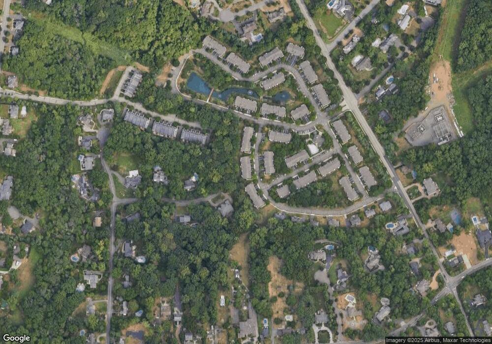
Map
Nearby Homes
- 28 Woods Edge Rd
- 1 Woods Edge Rd
- 32 Moeser Place
- 7 Orchard Ln
- 43 Old Tappan Rd
- 11 Oconnors Ln
- 11 Oconners Ln
- 4 Lenape Ln Unit 805
- 407 Semino Rd
- 99 Ogle Rd
- 121 Constitution Dr
- 192 White Ave
- 125 Constitution Dr
- 407 Overbrook Rd
- 12 Hickory Hill Ln Unit 33
- 121 Winding Creek
- 26 Summit Ave
- 9 Ross Place
- 13 Central Ave
- 415 Briarwood Ln
- 31 Woods Edge Rd Unit 31
- 35 Woods Edge Rd Unit 35
- 29 Woods Edge Rd
- 37 Woods Edge Rd
- 39 Woods Edge Rd Unit 39
- 27 Woods Edge Rd Unit 27
- 25 Woods Edge Rd
- 41 Woods Edge Rd Unit 41
- 32 Woods Edge Rd Unit 32
- 43 Woods Edge Rd Unit 43
- 23 Woods Edge Rd
- 34 Woods Edge Rd
- 30 Woods Edge Rd
- 36 Woods Edge Rd
- 45 Woods Edge Rd Unit C0045
- 21 Woods Edge Rd
- 20 Quail Run
- 47 Woods Edge Rd
- 19 Woods Edge Rd
- 17 Woods Edge Rd Unit 17