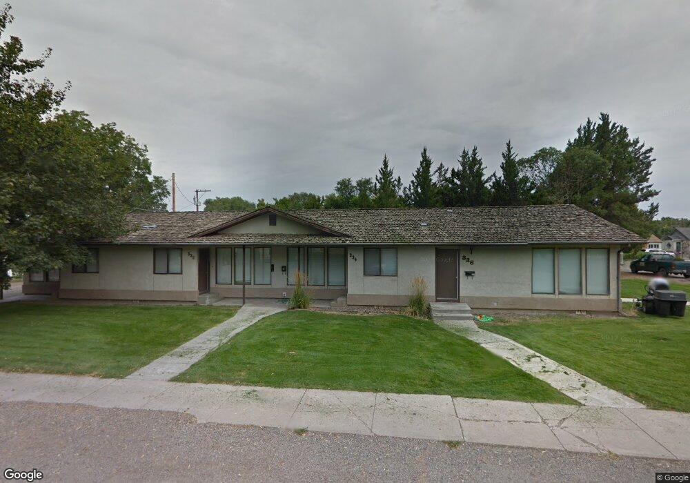
330 10th Ave E Gooding, ID 83330
5
Beds
4
Baths
2,802
Sq Ft
9,148
Sq Ft Lot
About This Home
This home is located at 330 10th Ave E, Gooding, ID 83330. 330 10th Ave E is a home located in Gooding County with nearby schools including Gooding Elementary School, Gooding Middle School, and Gooding High School.
Ownership History
Date
Name
Owned For
Owner Type
Purchase Details
Closed on
Feb 18, 2014
Sold by
Gillette Larry R and Gillette Cindy L
Bought by
Gillette Family Rental Properties Llc
Purchase Details
Closed on
Nov 18, 2005
Sold by
Clark Keith
Bought by
Gillette Larry R and Gillette Cindy L
Home Financials for this Owner
Home Financials are based on the most recent Mortgage that was taken out on this home.
Original Mortgage
$162,000
Outstanding Balance
$88,383
Interest Rate
5.97%
Mortgage Type
Commercial
Create a Home Valuation Report for This Property
The Home Valuation Report is an in-depth analysis detailing your home's value as well as a comparison with similar homes in the area
Home Values in the Area
Average Home Value in this Area
Purchase History
| Date | Buyer | Sale Price | Title Company |
|---|---|---|---|
| Gillette Family Rental Properties Llc | -- | None Available | |
| Gillette Larry R | -- | Land Title |
Source: Public Records
Mortgage History
| Date | Status | Borrower | Loan Amount |
|---|---|---|---|
| Open | Gillette Larry R | $162,000 |
Source: Public Records
Tax History
| Year | Tax Paid | Tax Assessment Tax Assessment Total Assessment is a certain percentage of the fair market value that is determined by local assessors to be the total taxable value of land and additions on the property. | Land | Improvement |
|---|---|---|---|---|
| 2025 | $4,055 | $349,000 | $43,500 | $305,500 |
| 2024 | $4,140 | $346,125 | $40,625 | $305,500 |
| 2023 | $4,240 | $346,125 | $40,625 | $305,500 |
| 2022 | $4,505 | $346,125 | $40,625 | $305,500 |
| 2021 | $4,038 | $266,250 | $31,250 | $235,000 |
| 2020 | $3,888 | $213,000 | $25,000 | $188,000 |
| 2019 | $4,234 | $213,000 | $25,000 | $188,000 |
| 2018 | $4,103 | $212,281 | $24,781 | $187,500 |
| 2017 | $3,923 | $0 | $0 | $0 |
| 2016 | $3,383 | $0 | $0 | $0 |
| 2015 | $3,434 | $0 | $0 | $0 |
| 2014 | -- | $0 | $0 | $0 |
| 2011 | -- | $0 | $0 | $0 |
Source: Public Records
Map
Nearby Homes
- 909 Oregon St
- 726 Wyoming St
- 551 10th Ave W
- 518 Montana St
- 919 9th Ave E
- 506 5th Ave E
- 729 California St
- 442 Main St
- 929 Nevada St
- 1033 Nevada St
- 1105 Nevada St
- 530 California St
- 602 4th Ave E
- 1824 E 1800 S Unit Lot 1 Block 1
- 326 Montana St
- 506 California St
- 1221 Nevada St
- 380 Orchard Dr E
- 325 Idaho St
- 1145 Utah St
- 917 Wyoming St
- 333 10th Ave E
- 913 Wyoming St
- 1009 Wyoming St
- 942 Montana St
- 914 Montana St
- 402 10th Ave E
- 934 Wyoming St
- 930 Montana St
- 1010 Montana St
- 1017 Wyoming St
- 905 Wyoming St
- 926 Wyoming St
- 1006 Wyoming St
- 906 Montana St
- 1026 Montana St
- 1010 Wyoming St
- 1025 Wyoming St
- 906 Wyoming St
- 1018 Wyoming St
Your Personal Tour Guide
Ask me questions while you tour the home.