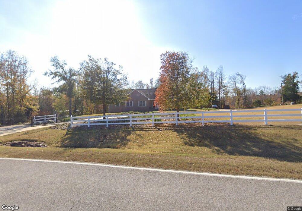
330 Adams Rd West Point, GA 31833
Estimated Value: $297,000 - $448,000
4
Beds
3
Baths
2,711
Sq Ft
$145/Sq Ft
Est. Value
About This Home
This home is located at 330 Adams Rd, West Point, GA 31833 and is currently estimated at $394,016, approximately $145 per square foot. 330 Adams Rd is a home located in Troup County with nearby schools including West Point Elementary School, Long Cane Elementary School, and Whitesville Road Elementary School.
Ownership History
Date
Name
Owned For
Owner Type
Purchase Details
Closed on
Apr 5, 2016
Sold by
Searcy Hunter B
Bought by
Searcy Hunter B and Searcy Brenda M
Current Estimated Value
Purchase Details
Closed on
Apr 13, 2006
Sold by
Searcy Hunter B
Bought by
State Of Georgia
Purchase Details
Closed on
May 19, 2004
Sold by
Hunter Searcy
Bought by
Searcy Hunter B
Purchase Details
Closed on
Aug 8, 2002
Sold by
Wayne Bartley
Bought by
Hunter Searcy
Create a Home Valuation Report for This Property
The Home Valuation Report is an in-depth analysis detailing your home's value as well as a comparison with similar homes in the area
Home Values in the Area
Average Home Value in this Area
Purchase History
| Date | Buyer | Sale Price | Title Company |
|---|---|---|---|
| Searcy Hunter B | -- | -- | |
| State Of Georgia | $1,803,000 | -- | |
| Searcy Hunter B | -- | -- | |
| Hunter Searcy | $17,900 | -- |
Source: Public Records
Tax History Compared to Growth
Tax History
| Year | Tax Paid | Tax Assessment Tax Assessment Total Assessment is a certain percentage of the fair market value that is determined by local assessors to be the total taxable value of land and additions on the property. | Land | Improvement |
|---|---|---|---|---|
| 2024 | $3,151 | $123,360 | $10,960 | $112,400 |
| 2023 | $3,088 | $115,200 | $10,960 | $104,240 |
| 2022 | $3,171 | $115,600 | $10,960 | $104,640 |
| 2021 | $2,978 | $100,720 | $10,720 | $90,000 |
| 2020 | $2,978 | $100,720 | $10,720 | $90,000 |
| 2019 | $2,984 | $100,920 | $10,720 | $90,200 |
| 2018 | $2,876 | $97,360 | $13,400 | $83,960 |
| 2017 | $2,876 | $97,360 | $13,400 | $83,960 |
| 2016 | $2,814 | $95,294 | $13,425 | $81,869 |
| 2015 | $2,819 | $95,294 | $13,425 | $81,869 |
| 2014 | $2,693 | $90,986 | $13,425 | $77,560 |
| 2013 | -- | $94,803 | $13,425 | $81,378 |
Source: Public Records
Map
Nearby Homes
- 333 Shoemaker Rd
- 4172 Bartley Rd
- 0 Johns Rd Unit 10615130
- 648 Warner Rd
- 208 Harris Walk Unit 80
- 143 W Drummond Rd
- 151 W Drummond Rd
- 157 W Drummond Rd
- 137 W Drummond Rd
- 131 W Drummond Rd
- 111 Tudor Way
- 134 Garden Walk
- 0 Sandtown Rd Unit 10255987
- Sandtown Road Unit: 1 2+ - Acre
- 797 Gabbettville Rd
- 45 Davidson Rd
- 311 Tomme Rd
- 4517 Georgia 18
- 4509 Georgia 18
- 4523 Georgia 18
- 289 Adams Rd
- 279 Adams Rd
- 535 Adams Rd
- 655 Adams Rd
- 34 Adams Rd
- 0 Adams Rd Unit 7209590
- 0 Adams Rd Unit 7209579
- 0 Adams Rd Unit 7568013
- 0 Adams Rd Unit 7209587
- 0 Adams Rd Unit 7209593
- 0 Adams Rd Unit 7091504
- 0 Adams Rd Unit 7091501
- 0 Adams Rd Unit 7091288
- 0 Adams Rd Unit 7091280
- 0 Adams Rd Unit 3263021
- 0 Adams Rd Unit 3262985
- 0 Adams Rd Unit 3107680
- 0 Adams Rd Unit 3107636
- 0 Adams Rd Unit 3107180
- 0 Adams Rd Unit 8906754