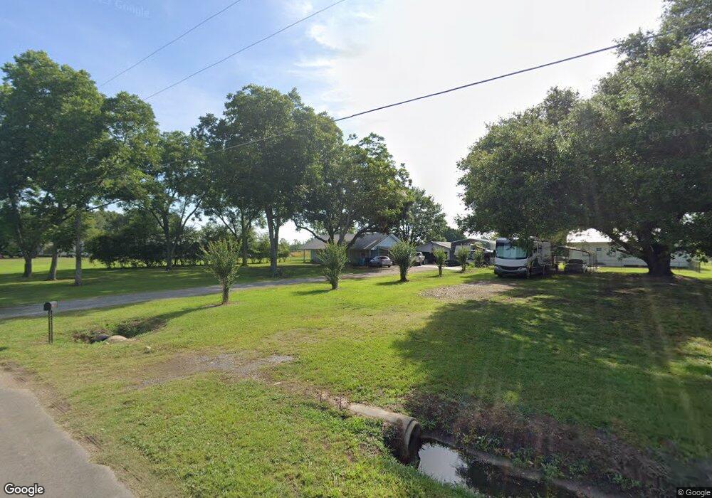
330 Bertrand Rd Opelousas, LA 70570
Estimated Value: $120,239 - $250,000
--
Bed
--
Bath
--
Sq Ft
4.11
Acres
About This Home
This home is located at 330 Bertrand Rd, Opelousas, LA 70570 and is currently estimated at $173,310. 330 Bertrand Rd is a home located in St. Landry Parish with nearby schools including Lawtell Elementary School and Northwest High School.
Ownership History
Date
Name
Owned For
Owner Type
Purchase Details
Closed on
Feb 6, 2012
Sold by
Askey Lori Thomas and Askey Larry Alan
Bought by
Arceneaux Jamie Joseph
Current Estimated Value
Purchase Details
Closed on
May 17, 2006
Sold by
Duplechin Gerald J
Bought by
Askey Larry Alan and Askey Lori T
Home Financials for this Owner
Home Financials are based on the most recent Mortgage that was taken out on this home.
Original Mortgage
$42,500
Interest Rate
6.5%
Mortgage Type
Purchase Money Mortgage
Create a Home Valuation Report for This Property
The Home Valuation Report is an in-depth analysis detailing your home's value as well as a comparison with similar homes in the area
Home Values in the Area
Average Home Value in this Area
Purchase History
| Date | Buyer | Sale Price | Title Company |
|---|---|---|---|
| Arceneaux Jamie Joseph | $63,800 | -- | |
| Askey Larry Alan | $42,500 | -- |
Source: Public Records
Mortgage History
| Date | Status | Borrower | Loan Amount |
|---|---|---|---|
| Previous Owner | Askey Larry Alan | $42,500 |
Source: Public Records
Tax History Compared to Growth
Tax History
| Year | Tax Paid | Tax Assessment Tax Assessment Total Assessment is a certain percentage of the fair market value that is determined by local assessors to be the total taxable value of land and additions on the property. | Land | Improvement |
|---|---|---|---|---|
| 2024 | $5 | $6,380 | $1,850 | $4,530 |
| 2023 | -- | $6,380 | $1,850 | $4,530 |
| 2022 | $398 | $6,380 | $1,850 | $4,530 |
| 2021 | $495 | $6,380 | $1,850 | $4,530 |
| 2020 | $467 | $6,380 | $1,850 | $4,530 |
| 2019 | $472 | $6,380 | $1,850 | $4,530 |
| 2018 | $473 | $6,380 | $1,850 | $4,530 |
| 2017 | $498 | $6,380 | $1,850 | $4,530 |
| 2015 | $496 | $6,380 | $1,850 | $4,530 |
| 2013 | $496 | $6,380 | $1,850 | $4,530 |
Source: Public Records
Map
Nearby Homes
- 406 Bertrand Rd
- 476 Bertrand Rd
- 740 Heidi B Rd
- 000 Meter Rd
- 469 Par Road 1-115-5
- 0 Winton Lafleur Rd
- 1433 Prairie Ronde Hwy
- Tbd Highway 190
- 380 Winton Lafleur Rd
- 487 Saint Mark Ave
- 261 Saint Christopher Ave
- 10130 Prejean Hwy
- 0 Saint Jude Ave
- Tbd Saint Jude Ave
- 119 Diane Dr
- Lot 8 Dupre Rd
- 867 Durousseau Rd Unit LotWP002
- 867 Durousseau Rd Unit LotWP001
- 286 Patty St
- 165 Desiree Rd
- 342 Bertrand Rd
- 357 Bertrand Rd
- 286 Bertrand Rd
- 286 Bertrand Rd
- 0 Bertrand Rd
- 281 Bertrand Rd
- 256 Bertrand Rd
- 269 Bertrand Rd
- 323 Bertrand Rd
- 234 Bertrand Rd
- 253 Bertrand Rd
- 420 Bertrand Rd
- 420 Bertrand Rd
- 274 Bertrand Rd
- 274 Bertrand Rd
- 163 Baggys Camp Rd
- 235 Bertrand Rd
- 436 Bertrand Rd
- 219 Bertrand Rd
- 452 Bertrand Rd