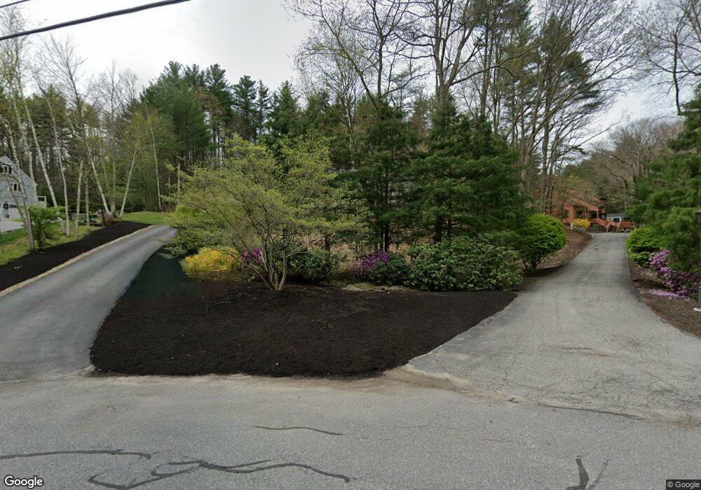
330 Border Rd Concord, MA 01742
Estimated Value: $1,420,000 - $1,759,000
4
Beds
5
Baths
3,586
Sq Ft
$433/Sq Ft
Est. Value
About This Home
This home is located at 330 Border Rd, Concord, MA 01742 and is currently estimated at $1,553,715, approximately $433 per square foot. 330 Border Rd is a home located in Middlesex County with nearby schools including Thoreau Elementary School, Concord Middle School, and Concord Carlisle High School.
Ownership History
Date
Name
Owned For
Owner Type
Purchase Details
Closed on
Mar 4, 2024
Sold by
Basque Richard A and Basque Patricia E
Bought by
Basque Ft and Basque
Current Estimated Value
Purchase Details
Closed on
Jan 8, 1993
Sold by
Bomengen Richard A and Basque Heidi S
Bought by
Basque Richard A and Basque Patricia E
Create a Home Valuation Report for This Property
The Home Valuation Report is an in-depth analysis detailing your home's value as well as a comparison with similar homes in the area
Home Values in the Area
Average Home Value in this Area
Purchase History
| Date | Buyer | Sale Price | Title Company |
|---|---|---|---|
| Basque Ft | -- | None Available | |
| Basque Richard A | $420,000 | -- | |
| Basque Richard A | $420,000 | -- |
Source: Public Records
Mortgage History
| Date | Status | Borrower | Loan Amount |
|---|---|---|---|
| Previous Owner | Basque Richard A | $415,000 | |
| Previous Owner | Basque Richard A | $240,000 |
Source: Public Records
Tax History
| Year | Tax Paid | Tax Assessment Tax Assessment Total Assessment is a certain percentage of the fair market value that is determined by local assessors to be the total taxable value of land and additions on the property. | Land | Improvement |
|---|---|---|---|---|
| 2025 | $171 | $1,286,100 | $443,100 | $843,000 |
| 2024 | $16,434 | $1,251,600 | $443,100 | $808,500 |
| 2023 | $14,982 | $1,156,000 | $369,200 | $786,800 |
| 2022 | $14,852 | $1,006,200 | $327,500 | $678,700 |
| 2021 | $14,033 | $953,300 | $327,500 | $625,800 |
| 2020 | $14,244 | $1,001,000 | $327,500 | $673,500 |
| 2019 | $13,500 | $951,400 | $349,400 | $602,000 |
| 2018 | $13,251 | $927,300 | $347,600 | $579,700 |
| 2017 | $13,112 | $931,900 | $312,000 | $619,900 |
| 2016 | $12,431 | $893,000 | $312,000 | $581,000 |
| 2015 | $11,701 | $818,800 | $288,900 | $529,900 |
Source: Public Records
Map
Nearby Homes
- 96 Forest Ridge Rd Unit 96
- 8 Snowberry Ln
- 1201 Old Marlboro Rd
- 23 Deer Path Unit 5
- 57 Longfellow Rd
- 2 Skyview Ln
- 42 Dakin Rd
- 70 Powder Mill Rd
- 68 Powder Mill Rd
- 66 Powder Mill Rd
- 377 Willis Rd
- 1844 Main St Unit 1844
- 100 Harrington Ave
- 22 Douglas Ave Unit 2
- 22 Douglas Ave Unit 1
- 31-33 Roosevelt St
- 5 Hayes St Unit 5
- 13 Arthur St Unit 15
- 1 Drummer Rd Unit A5
- 31 Drummer Rd Unit 31
- 344 Border Rd
- 344 Border Rd
- 344 Border Rd Unit 344
- 328 Border Rd
- 328 Border Rd Unit 328LL
- 354 Border Rd
- 315 Border Rd
- 345 Border Rd
- 310 Border Rd
- 369 Border Rd Unit 369
- 362 Border Rd
- 299 Border Rd
- 300 Border Rd
- 20 Border Rd
- 277 Border Rd
- 383 Border Rd
- 288 Border Rd
- 401 Border Rd
- 386 Border Rd
- 419 Border Rd
Your Personal Tour Guide
Ask me questions while you tour the home.