330 Brockway Rd Unit 42 Chehalis, WA 98532
Estimated Value: $692,070 - $738,000
4
Beds
2
Baths
2,338
Sq Ft
$304/Sq Ft
Est. Value
About This Home
This home is located at 330 Brockway Rd Unit 42, Chehalis, WA 98532 and is currently estimated at $711,268, approximately $304 per square foot. 330 Brockway Rd Unit 42 is a home located in Lewis County with nearby schools including James W. Lintott Elementary School, R E Bennett Elementary School, and Orin C. Smith Elementary School.
Ownership History
Date
Name
Owned For
Owner Type
Purchase Details
Closed on
Aug 5, 2005
Sold by
Whf Llc
Bought by
Lopez Eric E and Lopez Lisa A
Current Estimated Value
Home Financials for this Owner
Home Financials are based on the most recent Mortgage that was taken out on this home.
Original Mortgage
$46,400
Interest Rate
5.48%
Mortgage Type
New Conventional
Create a Home Valuation Report for This Property
The Home Valuation Report is an in-depth analysis detailing your home's value as well as a comparison with similar homes in the area
Home Values in the Area
Average Home Value in this Area
Purchase History
| Date | Buyer | Sale Price | Title Company |
|---|---|---|---|
| Lopez Eric E | $49,853 | None Available |
Source: Public Records
Mortgage History
| Date | Status | Borrower | Loan Amount |
|---|---|---|---|
| Closed | Lopez Eric E | $46,400 |
Source: Public Records
Tax History Compared to Growth
Tax History
| Year | Tax Paid | Tax Assessment Tax Assessment Total Assessment is a certain percentage of the fair market value that is determined by local assessors to be the total taxable value of land and additions on the property. | Land | Improvement |
|---|---|---|---|---|
| 2025 | $5,790 | $666,600 | $140,100 | $526,500 |
| 2024 | $5,790 | $695,400 | $140,100 | $555,300 |
| 2023 | $5,274 | $589,200 | $64,900 | $524,300 |
| 2022 | $4,357 | $438,700 | $51,700 | $387,000 |
| 2021 | $4,247 | $438,700 | $51,700 | $387,000 |
| 2020 | $4,326 | $387,900 | $49,400 | $338,500 |
| 2019 | $3,491 | $368,100 | $49,400 | $318,700 |
| 2018 | $3,925 | $320,300 | $41,200 | $279,100 |
| 2017 | $3,613 | $320,300 | $41,200 | $279,100 |
| 2016 | $3,499 | $285,500 | $58,500 | $227,000 |
| 2015 | $3,076 | $277,000 | $50,000 | $227,000 |
| 2013 | $3,076 | $275,800 | $50,000 | $225,800 |
Source: Public Records
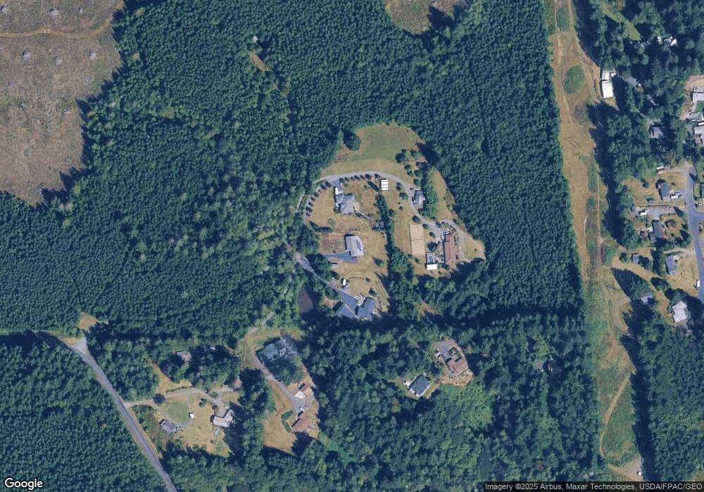
Map
Nearby Homes
- 138 Pine Dr
- 193 Whitney Blvd
- 177 Whitney Blvd
- 115 Hazel Dr
- 126 Riverview Dr
- 0 Brockway Rd Unit NWM2373688
- 128 Beckett Ln
- 133 Beckett Ln
- 121 Beckett Ln
- 114 Beckett Ln
- 111 Beckett Ln
- 138 Sunnyside Dr
- 152 Hwy 603
- 3898 Washington 6
- 1477 State Route 6
- 516 SW Riverside Dr
- 617 NW Ohio Ave
- 837 NW Duffy St
- 813 NW Ohio Ave
- 668 NW Folsom St
- 330 Brockway Rd Unit 40
- 330 Brockway Rd Unit 38
- 330 Brockway Rd
- 330 Brockway Rd
- 0 Smokey Ln
- 146 Smokey Ln
- 140 Smokey Ln
- 119 Smokey Ln
- 120 Smokey Ln
- 113 Smokey Ln
- 110 Smokey Ln
- 160 Smokey Ln
- 255 Whitney Blvd
- 255 Whitney Blvd Unit 4
- 100 Deerfield Place
- 249 Whitney Blvd
- 104 Deerfield Place
- 308 Brockway Rd
- 110 Deerfield Place
- 242 Whitney Blvd