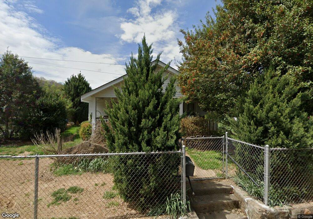
330 Browning Rd Waynesville, NC 28786
Estimated Value: $215,000 - $312,000
2
Beds
1
Bath
1,044
Sq Ft
$237/Sq Ft
Est. Value
About This Home
This home is located at 330 Browning Rd, Waynesville, NC 28786 and is currently estimated at $247,577, approximately $237 per square foot. 330 Browning Rd is a home located in Haywood County with nearby schools including Hazelwood Elementary, Waynesville Middle, and Tuscola High.
Ownership History
Date
Name
Owned For
Owner Type
Purchase Details
Closed on
Nov 3, 2009
Sold by
Bowman William Bruce and Bowman Jane R
Bought by
Mort Shirley A and Mort Sheila
Current Estimated Value
Home Financials for this Owner
Home Financials are based on the most recent Mortgage that was taken out on this home.
Original Mortgage
$104,000
Outstanding Balance
$68,047
Interest Rate
5.04%
Mortgage Type
New Conventional
Estimated Equity
$179,530
Create a Home Valuation Report for This Property
The Home Valuation Report is an in-depth analysis detailing your home's value as well as a comparison with similar homes in the area
Home Values in the Area
Average Home Value in this Area
Purchase History
| Date | Buyer | Sale Price | Title Company |
|---|---|---|---|
| Mort Shirley A | $130,000 | None Available |
Source: Public Records
Mortgage History
| Date | Status | Borrower | Loan Amount |
|---|---|---|---|
| Open | Mort Shirley A | $104,000 |
Source: Public Records
Tax History Compared to Growth
Tax History
| Year | Tax Paid | Tax Assessment Tax Assessment Total Assessment is a certain percentage of the fair market value that is determined by local assessors to be the total taxable value of land and additions on the property. | Land | Improvement |
|---|---|---|---|---|
| 2025 | -- | $123,400 | $19,000 | $104,400 |
| 2024 | $838 | $123,400 | $19,000 | $104,400 |
| 2023 | $838 | $123,400 | $19,000 | $104,400 |
| 2022 | $819 | $123,400 | $19,000 | $104,400 |
| 2021 | $819 | $123,400 | $19,000 | $104,400 |
| 2020 | $702 | $92,800 | $16,700 | $76,100 |
| 2019 | $707 | $92,800 | $16,700 | $76,100 |
| 2018 | $707 | $92,800 | $16,700 | $76,100 |
| 2017 | $707 | $92,800 | $0 | $0 |
| 2016 | $707 | $96,000 | $0 | $0 |
| 2015 | $707 | $96,000 | $0 | $0 |
| 2014 | $612 | $96,000 | $0 | $0 |
Source: Public Records
Map
Nearby Homes
- 55 Polk St
- 90 Camp Branch Rd
- 72 Raines Blvd
- 00 Longview Dr Unit 6
- 00 Longview Dr Unit 7
- 00 Longview Dr Unit 8
- 142 Country Club Dr
- 35 Essex Rd
- 87 Willow Rd Unit C-2
- 87 Willow Rd Unit D-16
- 171 Surrey Rd
- 165 Country Club Dr
- 271 Brook St
- 419 Country Club Dr
- 55 Scates St
- 220 Ridge Rd
- 0 Pinewood Dr Unit 5
- 0 Alex Trail
- 00 Greenview Dr Unit 12
- 00 Greenview Dr Unit 9
- 316 Browning Rd
- 71 Burris Ln
- 57 Burris Ln
- 378 Browning Rd
- 280 Browning Rd
- 15 Polk St
- 7 Polk St
- 7 Polk St Unit 66
- 40 Burris Ln
- 35 Burris Ln
- 388 Browning Rd
- 20 Shelby Ln
- 28 Shelby Ln
- 40 Shelby Ln
- 20 Polk St
- 268 Browning Rd
- 283 Allens Creek Rd
- 313 Allens Creek Rd
- 277 Allens Creek Rd
- 329 Allens Creek Rd