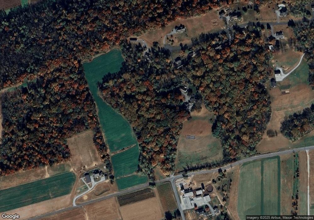
330 Bunker Hill Rd Geneva, PA 44041
Estimated Value: $181,000 - $201,000
1
Bed
1
Bath
876
Sq Ft
$221/Sq Ft
Est. Value
About This Home
This home is located at 330 Bunker Hill Rd, Geneva, PA 44041 and is currently estimated at $193,186, approximately $220 per square foot. 330 Bunker Hill Rd is a home with nearby schools including Center Grange Primary School, Todd Lane Elementary School, and Central Valley Middle School.
Ownership History
Date
Name
Owned For
Owner Type
Purchase Details
Closed on
Jul 26, 2024
Sold by
Politano Carmin Anthony
Bought by
Borland Equity Holdings Llc
Current Estimated Value
Home Financials for this Owner
Home Financials are based on the most recent Mortgage that was taken out on this home.
Original Mortgage
$152,124
Outstanding Balance
$150,429
Interest Rate
6.95%
Mortgage Type
New Conventional
Estimated Equity
$42,757
Create a Home Valuation Report for This Property
The Home Valuation Report is an in-depth analysis detailing your home's value as well as a comparison with similar homes in the area
Home Values in the Area
Average Home Value in this Area
Purchase History
| Date | Buyer | Sale Price | Title Company |
|---|---|---|---|
| Borland Equity Holdings Llc | $188,600 | None Listed On Document |
Source: Public Records
Mortgage History
| Date | Status | Borrower | Loan Amount |
|---|---|---|---|
| Open | Borland Equity Holdings Llc | $152,124 |
Source: Public Records
Tax History Compared to Growth
Tax History
| Year | Tax Paid | Tax Assessment Tax Assessment Total Assessment is a certain percentage of the fair market value that is determined by local assessors to be the total taxable value of land and additions on the property. | Land | Improvement |
|---|---|---|---|---|
| 2025 | $1,467 | $71,450 | $35,150 | $36,300 |
| 2024 | $2,291 | $71,450 | $35,150 | $36,300 |
| 2023 | $720 | $6,800 | $3,800 | $3,000 |
| 2022 | $670 | $6,800 | $3,800 | $3,000 |
| 2021 | $670 | $6,800 | $3,800 | $3,000 |
| 2020 | $641 | $6,800 | $3,800 | $3,000 |
| 2019 | $641 | $6,800 | $3,800 | $3,000 |
| 2018 | $612 | $6,800 | $3,800 | $3,000 |
| 2017 | $612 | $6,800 | $3,800 | $3,000 |
| 2016 | $570 | $6,800 | $3,800 | $3,000 |
| 2015 | $151 | $6,800 | $3,800 | $3,000 |
| 2014 | $151 | $6,800 | $3,800 | $3,000 |
Source: Public Records
Map
Nearby Homes
- 122 Gross Dr
- 0 Farland St Unit 1716872
- 145 Oakhill Rd
- 116 Autumn St
- 104 Patti Ln
- 222 W Shaffer Rd
- 148 Zimmerle Dr
- 223 Columbia Dr
- 215 Columbia Dr
- 3013 Woodfield Dr
- 103 Brookhaven Dr
- 2848 Brodhead Rd
- 107 Pinehurst Dr
- 129 Bainbridge Dr
- 137 Sunset Blvd
- 154 Sunset Blvd
- 130 Columbia Dr
- 959 Independence Rd
- 2354 Ritchie St
- 0 Chapel Rd Unit 1707634
- 327 Bunker Hill Rd
- 330 Bunker Hill Rd
- 300 Bunker Hill Rd
- 272 Bunker Hill Rd
- 285 Bunker Hill Rd
- 260 Bunker Hill Rd
- 258 Bunker Hill Rd
- 262 Bunker Hill Rd
- 252 Bunker Hill Rd
- 434 Bunker Hill Rd
- 246 Bunker Hill Rd
- 254 Bunker Hill Rd
- 254 Bunker Hill Rd
- 120 Bridget St
- 532 Bunker Hill Rd
- 510 Bunker Hill Rd
- 121 Bridget St
- 101 Lake Dr
- 102 Lake Dr
- 118 Bridget St
