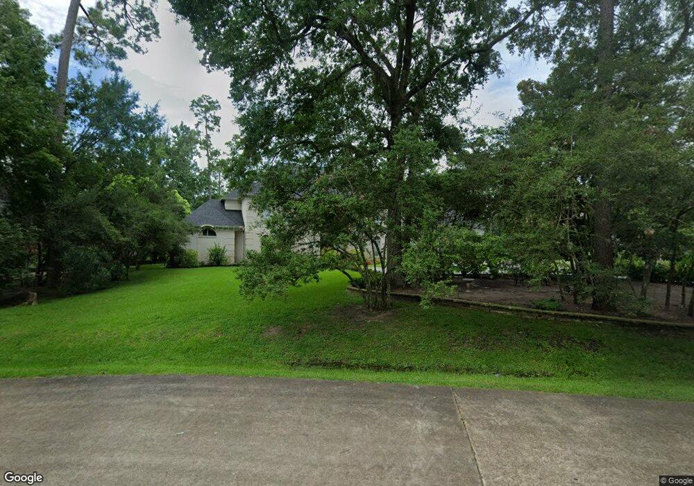
330 Bunker Hill Rd Houston, TX 77024
Estimated Value: $2,771,000 - $3,434,000
4
Beds
5
Baths
5,152
Sq Ft
$600/Sq Ft
Est. Value
About This Home
This home is located at 330 Bunker Hill Rd, Houston, TX 77024 and is currently estimated at $3,088,751, approximately $599 per square foot. 330 Bunker Hill Rd is a home located in Harris County with nearby schools including Bunker Hill Elementary School, Spring Branch Middle School, and Memorial High School.
Ownership History
Date
Name
Owned For
Owner Type
Purchase Details
Closed on
May 21, 2019
Sold by
Sharw Sharif Hosejni Shamsi and Sharw Hoseini Shamsi
Bought by
Hamadanian Shahrzad and Hamadanian Sherry
Current Estimated Value
Purchase Details
Closed on
Dec 27, 1994
Sold by
Anderson Peggy M
Bought by
Hamadanian Hamid
Home Financials for this Owner
Home Financials are based on the most recent Mortgage that was taken out on this home.
Original Mortgage
$208,057
Interest Rate
9.13%
Create a Home Valuation Report for This Property
The Home Valuation Report is an in-depth analysis detailing your home's value as well as a comparison with similar homes in the area
Home Values in the Area
Average Home Value in this Area
Purchase History
| Date | Buyer | Sale Price | Title Company |
|---|---|---|---|
| Hamadanian Shahrzad | -- | Old Republic Title Ins Co | |
| Hamadanian Hamid | -- | Commonwealth Land Title Co |
Source: Public Records
Mortgage History
| Date | Status | Borrower | Loan Amount |
|---|---|---|---|
| Previous Owner | Hamadanian Hamid | $208,057 |
Source: Public Records
Tax History Compared to Growth
Tax History
| Year | Tax Paid | Tax Assessment Tax Assessment Total Assessment is a certain percentage of the fair market value that is determined by local assessors to be the total taxable value of land and additions on the property. | Land | Improvement |
|---|---|---|---|---|
| 2025 | $33,232 | $2,729,761 | $1,795,530 | $934,231 |
| 2024 | $33,232 | $2,397,086 | $1,735,679 | $661,407 |
| 2023 | $33,232 | $2,630,463 | $1,645,903 | $984,560 |
| 2022 | $51,995 | $2,372,000 | $1,645,903 | $726,097 |
| 2021 | $49,231 | $2,273,300 | $1,556,126 | $717,174 |
| 2020 | $51,868 | $2,342,000 | $1,556,126 | $785,874 |
| 2019 | $50,325 | $2,181,708 | $1,427,095 | $754,613 |
| 2018 | $10,544 | $2,075,000 | $1,427,095 | $647,905 |
| 2017 | $47,450 | $2,075,000 | $1,427,095 | $647,905 |
| 2016 | $43,136 | $2,075,000 | $1,427,095 | $647,905 |
| 2015 | $30,300 | $2,200,000 | $1,427,095 | $772,905 |
| 2014 | $30,300 | $1,866,000 | $1,234,986 | $631,014 |
Source: Public Records
Map
Nearby Homes
- 11640 Greenbay St
- 11722 Claywood St
- 318 Knipp Rd
- 345 Knipp Rd
- 11607 Shady Grove Ln
- 11606 Blalock Ln
- 11706 Flintwood Dr
- 11711 Memorial Dr Unit 570
- 11711 Memorial Dr Unit 55
- 11711 Memorial Dr Unit 21
- 11711 Memorial Dr Unit 565
- 11711 Memorial Dr Unit 695
- 11711 Memorial Dr Unit 644
- 11711 Memorial Dr Unit 285
- 11711 Memorial Dr Unit 371
- 11711 Memorial Dr Unit 129
- 11711 Memorial Dr Unit 251
- 11711 Memorial Dr Unit 573
- 11711 Memorial Dr Unit 545
- 11711 Memorial Dr Unit 276
- 11711 Country Way
- 11735 Bayhurst Dr
- 11734 Bayhurst Dr
- 11722 Forest Glen St
- 11714 Country Way
- 11718 Forest Glen St
- 11726 Forest Glen St
- 11710 Country Way
- 11707 Country Way
- 11739 Bayhurst Dr
- 11714 Forest Glen St
- 11738 Bayhurst Dr
- 11702 Country Way
- 11727 Greenbay Dr
- 11706 Country Way
- 11730 Forest Glen St
- 11731 Greenbay Dr
- 11723 Greenbay Dr
- 11717 Forest Glen St
- 11719 Greenbay Dr