330 Cedar Ridge Rd Walsenburg, CO 81089
Estimated Value: $634,707
6
Beds
3
Baths
3,413
Sq Ft
$186/Sq Ft
Est. Value
About This Home
This home is located at 330 Cedar Ridge Rd, Walsenburg, CO 81089 and is currently estimated at $634,707, approximately $185 per square foot. 330 Cedar Ridge Rd is a home located in Huerfano County with nearby schools including Walsenburg Jr. Sr. High School.
Ownership History
Date
Name
Owned For
Owner Type
Purchase Details
Closed on
May 12, 2023
Sold by
Beresford Bruce B
Bought by
Bruce B Beresford Trust
Current Estimated Value
Purchase Details
Closed on
Oct 23, 2019
Sold by
Gonzales Guadalupe M
Bought by
Beresford Bruce B and Mcgavin Elizabeth
Home Financials for this Owner
Home Financials are based on the most recent Mortgage that was taken out on this home.
Original Mortgage
$312,000
Interest Rate
3.5%
Mortgage Type
New Conventional
Create a Home Valuation Report for This Property
The Home Valuation Report is an in-depth analysis detailing your home's value as well as a comparison with similar homes in the area
Home Values in the Area
Average Home Value in this Area
Purchase History
| Date | Buyer | Sale Price | Title Company |
|---|---|---|---|
| Bruce B Beresford Trust | -- | None Listed On Document | |
| Beresford Bruce B | $442,000 | Assured Title Agency |
Source: Public Records
Mortgage History
| Date | Status | Borrower | Loan Amount |
|---|---|---|---|
| Previous Owner | Beresford Bruce B | $312,000 |
Source: Public Records
Tax History Compared to Growth
Tax History
| Year | Tax Paid | Tax Assessment Tax Assessment Total Assessment is a certain percentage of the fair market value that is determined by local assessors to be the total taxable value of land and additions on the property. | Land | Improvement |
|---|---|---|---|---|
| 2024 | $2,373 | $31,554 | $1,019 | $30,535 |
| 2023 | $2,370 | $31,554 | $1,018 | $30,536 |
| 2022 | $1,577 | $21,063 | $710 | $20,353 |
| 2021 | $1,715 | $21,703 | $765 | $20,938 |
| 2020 | $1,345 | $18,974 | $713 | $18,261 |
| 2019 | $1,362 | $18,974 | $713 | $18,261 |
| 2018 | $1,368 | $19,716 | $801 | $18,915 |
| 2017 | $1,346 | $19,716 | $801 | $18,915 |
| 2016 | $1,529 | $23,455 | $795 | $22,660 |
| 2015 | $1,425 | $23,455 | $795 | $22,660 |
| 2014 | $1,425 | $24,387 | $754 | $23,633 |
Source: Public Records
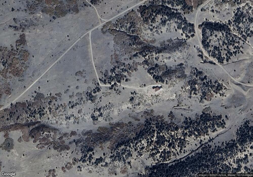
Map
Nearby Homes
- 4070 Comanche Dr
- TBD County Rd 520
- TBD Choctaw Dr
- 25 Comanche Dr
- Tbd County Rd 521
- 000 Shawnee Cir
- Tbd Navajo Ranch Resorts Unit 3 145
- 388 Arapahoe Dr
- Lot 116 Comanche Dr
- 295 Cherokee Dr
- TBD Comanche Dr
- TBD Lot 133 Navajo Ranch Resort
- Lot 148 Navajo Ranch Resort
- 363 Black Hills Dr
- 363 Black Hills Rd
- 1036 Navajo Rd
- 3225 County Road 510
- 491 Ketchum Rd
- 536 Seneca Cir
- 7727 County Road 521
- 330 W Cedar St
- 330 Cedar Ridge Rd Unit , Majors Lot 14
- 330 Cedar Ridge Rd
- 0 Stonewall Rd Unit 11-B 13-717
- 0 Stonewall Rd Unit Lot 13 16-282
- TBD Cedar Ridge Rd Unit Lot 13
- Lot 11A Majors Ranch Phase #3
- Parcel 13 Majors Ranch
- Parcel13 Majors Ranch
- Parcel13 Majors Ranch
- 11 Majors Ranch Phase #3
- Lot 11A Major Ranch Phase #3
- 5609 Majors Ranch Unit 9
- 5609 Co Rd 520
- 901 Cedar Ridge Rd
- 0 Stonewall Dr Unit 915284
- 0 Stonewall Dr Unit 1024740
- 0 Stonewall Dr Unit 2-639
- 0 Stonewall Dr Unit PH 3, Lot 11-A
- 0 Stonewall Dr Unit PH 3 Lot 7 13-22