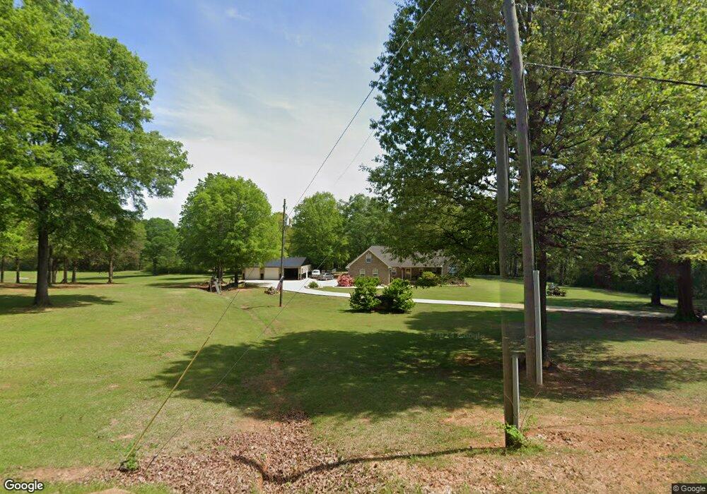
330 Chandler Mountain Cut Off Rd Steele, AL 35987
Estimated Value: $212,000 - $446,000
Studio
1
Bath
2,155
Sq Ft
$155/Sq Ft
Est. Value
About This Home
This home is located at 330 Chandler Mountain Cut Off Rd, Steele, AL 35987 and is currently estimated at $334,268, approximately $155 per square foot. 330 Chandler Mountain Cut Off Rd is a home located in St. Clair County with nearby schools including Steele Elementary School and Ashville High School.
Ownership History
Date
Name
Owned For
Owner Type
Purchase Details
Closed on
Jun 17, 2019
Sold by
Agan Jimmy and Agan Joyce
Bought by
Robinson Bobby Glenn and Robinson Sabrina Cline
Current Estimated Value
Purchase Details
Closed on
Nov 16, 2005
Sold by
Agan Jimmy and Agan Joyce
Bought by
Robinson Bobby Glenn and Robinson Sabrina Cline
Create a Home Valuation Report for This Property
The Home Valuation Report is an in-depth analysis detailing your home's value as well as a comparison with similar homes in the area
Home Values in the Area
Average Home Value in this Area
Purchase History
| Date | Buyer | Sale Price | Title Company |
|---|---|---|---|
| Robinson Bobby Glenn | $26,850 | None Available | |
| Robinson Bobby Glenn | $38,900 | None Available |
Source: Public Records
Tax History
| Year | Tax Paid | Tax Assessment Tax Assessment Total Assessment is a certain percentage of the fair market value that is determined by local assessors to be the total taxable value of land and additions on the property. | Land | Improvement |
|---|---|---|---|---|
| 2024 | $1,005 | $65,698 | $9,300 | $56,398 |
| 2023 | $811 | $65,698 | $9,300 | $56,398 |
| 2022 | $658 | $22,832 | $4,220 | $18,612 |
| 2021 | $658 | $22,827 | $4,215 | $18,612 |
| 2020 | $657 | $22,837 | $4,225 | $18,612 |
| 2019 | $657 | $22,837 | $4,225 | $18,612 |
| 2018 | $592 | $17,760 | $0 | $0 |
| 2017 | $32 | $17,740 | $0 | $0 |
| 2016 | $590 | $17,720 | $0 | $0 |
| 2015 | $32 | $17,720 | $0 | $0 |
| 2014 | $32 | $1,700 | $0 | $0 |
Source: Public Records
Map
Nearby Homes
- 3649 Pope Ave
- 38.1 acres Steele Station Rd
- 0 Pine St
- 75 Moore St
- 0 County Road 42 Unit 26157833
- 0 County Road 42 Unit 21442134
- 0 Steel Station Rd
- 4639 Pope Ave
- 140 Aubra Rd
- 3074 Beason Cove Rd
- 0 Highway 11 Unit 21427361
- 37041 US Highway 411
- 0 Legion Dr Unit 893391
- 0 Legion Dr Unit 19987726
- 1252 Canoe Creek Rd
- 601 Loop Rd
- 9 Loop Rd
- 0 Sumatanga Rd
- 145 Cross Creek Ln
- 1133 Canoe Creek Rd
- 275 Chandler Mountain Cut Off Rd
- 2256 Pope Ave
- 2175 Pope Ave
- 2101 Pope Ave
- 2174 U S 11
- 465 Chandler Mountain Cut Off Rd
- 2116 Pope Ave
- 33 Chandler Mountain Cutoff Rd
- 2311 Pope Ave
- 2311 Pope Ave
- 451 Cut Off Rd
- 2280 Pope Ave
- 185 Chandler Mountain Cut Off Rd
- 2335 Pope Ave
- 540 Chandler Mt Cut Off Rd
- 75 Chandler Mountain Cutoff Rd
- 572 Chandler Mountain Cut Off Rd
- 2400 Pope Ave
- 1115 Chandler Mountain Rd
- 2338 Pope Ave
Your Personal Tour Guide
Ask me questions while you tour the home.