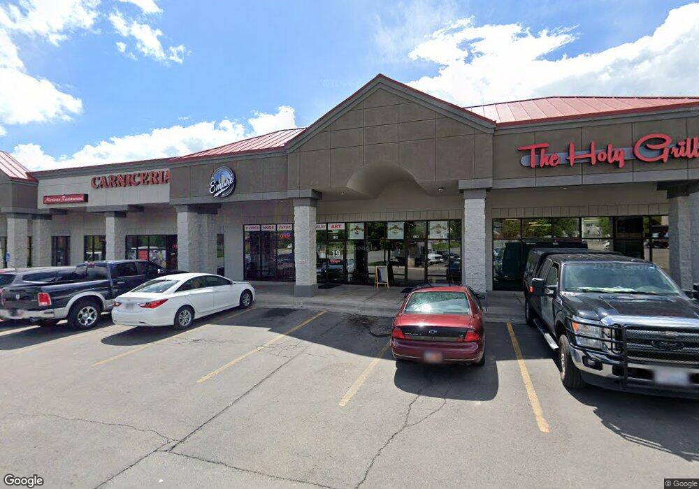
330 E State Rd Pleasant Grove, UT 84062
Studio
--
Bath
15,715
Sq Ft
8,276
Sq Ft Lot
About This Home
This home is located at 330 E State Rd, Pleasant Grove, UT 84062. 330 E State Rd is a home located in Utah County with nearby schools including Mount Mahogany School, Pleasant Grove Junior High School, and Pleasant Grove High School.
Ownership History
Date
Name
Owned For
Owner Type
Purchase Details
Closed on
Oct 8, 2003
Sold by
Robbins Wilson Kalmar
Bought by
Robbins Wilson Kalmar and Wilson Kalmar Robbins Trust
Home Financials for this Owner
Home Financials are based on the most recent Mortgage that was taken out on this home.
Original Mortgage
$700,000
Outstanding Balance
$328,005
Interest Rate
6.27%
Mortgage Type
Unknown
Purchase Details
Closed on
Sep 17, 2003
Sold by
Village Square At Pleasant Grove Lc
Bought by
Robbins Wilson Kalmar and Lines Lucynthia Robbins
Home Financials for this Owner
Home Financials are based on the most recent Mortgage that was taken out on this home.
Original Mortgage
$700,000
Outstanding Balance
$328,005
Interest Rate
6.27%
Mortgage Type
Unknown
Create a Home Valuation Report for This Property
The Home Valuation Report is an in-depth analysis detailing your home's value as well as a comparison with similar homes in the area
Home Values in the Area
Average Home Value in this Area
Purchase History
| Date | Buyer | Sale Price | Title Company |
|---|---|---|---|
| Robbins Wilson Kalmar | -- | Century Title | |
| Robbins Wilson Kalmar | -- | Century Title Company |
Source: Public Records
Mortgage History
| Date | Status | Borrower | Loan Amount |
|---|---|---|---|
| Open | Robbins Wilson Kalmar | $700,000 |
Source: Public Records
Tax History
| Year | Tax Paid | Tax Assessment Tax Assessment Total Assessment is a certain percentage of the fair market value that is determined by local assessors to be the total taxable value of land and additions on the property. | Land | Improvement |
|---|---|---|---|---|
| 2025 | $22,385 | $2,560,000 | $869,200 | $1,690,800 |
| 2024 | $22,385 | $2,612,300 | $0 | $0 |
| 2023 | $19,909 | $2,432,400 | $0 | $0 |
| 2022 | $17,906 | $2,176,700 | $832,000 | $1,344,700 |
| 2021 | $18,064 | $1,838,900 | $757,500 | $1,081,400 |
| 2020 | $19,395 | $1,935,600 | $757,500 | $1,178,100 |
| 2019 | $19,734 | $2,036,700 | $858,600 | $1,178,100 |
| 2018 | $20,614 | $2,011,700 | $817,900 | $1,193,800 |
| 2017 | $20,888 | $1,973,200 | $0 | $0 |
| 2016 | $20,642 | $1,882,500 | $0 | $0 |
| 2015 | $21,572 | $1,863,000 | $0 | $0 |
| 2014 | $21,377 | $1,828,800 | $0 | $0 |
Source: Public Records
Map
Nearby Homes
- 121 E 700 S
- 435 E 790 S Unit 8
- 494 E Apple Blossom Dr
- 384 E 300 S
- 165 S 200 E
- 696 S Locust Ave
- 590 N Buffalo Grass Ln
- 588 N Buffalo Grass Ln
- 572 N Buffalo Grass Ln
- 578 N Buffalo Grass Ln
- 570 N Buffalo Grass Ln
- 576 N Buffalo Grass Ln
- 568 N Buffalo Grass Ln
- 560 N Buffalo Grass Ln
- 574 N Buffalo Grass Ln
- 566 N Buffalo Grass Ln
- 556 N Buffalo Grass Ln
- 554 N Buffalo Grass Ln
- 557 N Buffalo Grass Ln
- 864 S 700 E
- 326 E State Rd
- 440 E State Rd Unit 14
- 440 E State Rd Unit 13
- 120 E 700 So
- 426 E State Rd
- 319 E State Rd
- 424 E State Rd
- 120 E 700 S
- 369 E State Rd
- 343 E 790 S Unit 101
- 343 E 790 S Unit 301
- 343 E 790 S Unit 201
- 691 S 300 E
- 175 Maple Ln
- 116 E 700 S
- 116 E 700 S
- 495 E State Rd
- 615 S 300 E
- 627 S 300 E
- 373 E 790 S
Your Personal Tour Guide
Ask me questions while you tour the home.