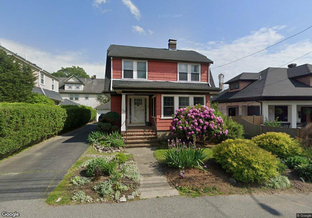
330 Eliot St Milton, MA 02186
Columbine Cliffs NeighborhoodEstimated Value: $755,000 - $1,075,000
3
Beds
1
Bath
1,554
Sq Ft
$601/Sq Ft
Est. Value
About This Home
This home is located at 330 Eliot St, Milton, MA 02186 and is currently estimated at $933,497, approximately $600 per square foot. 330 Eliot St is a home located in Norfolk County with nearby schools including Milton High School, Conservatory Lab Upper School, and St. Mary of the Hills School.
Ownership History
Date
Name
Owned For
Owner Type
Purchase Details
Closed on
Jan 17, 1997
Sold by
Trubetskoy Vladimir S and Trubetskoy Olga V
Bought by
Agrait Maritza
Current Estimated Value
Purchase Details
Closed on
Sep 16, 1994
Sold by
Tippo Robert E and Tippo Donna P
Bought by
Trubetskoy Vladimir S and Trubetskoy Olga V
Create a Home Valuation Report for This Property
The Home Valuation Report is an in-depth analysis detailing your home's value as well as a comparison with similar homes in the area
Home Values in the Area
Average Home Value in this Area
Purchase History
| Date | Buyer | Sale Price | Title Company |
|---|---|---|---|
| Agrait Maritza | $150,500 | -- | |
| Trubetskoy Vladimir S | $149,000 | -- |
Source: Public Records
Mortgage History
| Date | Status | Borrower | Loan Amount |
|---|---|---|---|
| Open | Trubetskoy Vladimir S | $155,000 | |
| Closed | Trubetskoy Vladimir S | $130,300 | |
| Closed | Trubetskoy Vladimir S | $150,000 |
Source: Public Records
Tax History Compared to Growth
Tax History
| Year | Tax Paid | Tax Assessment Tax Assessment Total Assessment is a certain percentage of the fair market value that is determined by local assessors to be the total taxable value of land and additions on the property. | Land | Improvement |
|---|---|---|---|---|
| 2025 | $8,696 | $784,100 | $438,800 | $345,300 |
| 2024 | $8,409 | $770,100 | $418,000 | $352,100 |
| 2023 | $8,194 | $718,800 | $398,300 | $320,500 |
| 2022 | $8,076 | $647,600 | $398,300 | $249,300 |
| 2021 | $7,685 | $585,300 | $347,900 | $237,400 |
| 2020 | $7,429 | $566,200 | $333,300 | $232,900 |
| 2019 | $7,246 | $549,800 | $323,600 | $226,200 |
| 2018 | $6,712 | $486,000 | $264,000 | $222,000 |
| 2017 | $6,277 | $462,900 | $251,400 | $211,500 |
| 2016 | $6,869 | $508,800 | $301,700 | $207,100 |
| 2015 | $6,750 | $484,200 | $281,600 | $202,600 |
Source: Public Records
Map
Nearby Homes
- 333 Eliot St
- 32 Columbine Rd
- 10 Briarcliff Terrace
- 290 Central Ave
- 15 Fairfax Rd
- 24 Constitution Rd
- 20 Herrick Dr
- 131 Eliot St Unit 408
- 131 Eliot St Unit 305
- 84 Blue Hills Pkwy
- 67 Idaho St
- 32 Violet St
- 390 Central Ave
- 16 Blue Hill Ave
- 137 Thacher St Unit 137
- 4 Crossman St Unit 4
- 11 French St
- 96 Houston Ave
- 8-14R Temple St
- 438 Central Ave Unit 2
- 3 Avalon Rd
- 9 Avalon Rd Unit 11
- 3 Cantwell Rd
- 325 Eliot St
- 329 Eliot St
- 15 Avalon Rd Unit 2
- 15 Avalon Rd
- 15 Avalon Rd Unit 1
- 3 Francis St
- 4 Cantwell Rd
- 5 Cantwell Rd
- 0001 Francis St Unit 1
- 334 Eliot St
- 7 Valley Rd
- 6 Cantwell Rd
- 321 Eliot St
- 19 Avalon Rd Unit 21
- 19-21 Avalon Rd Unit 21
- 21 Avalon Rd Unit 1
- 21 Avalon Rd