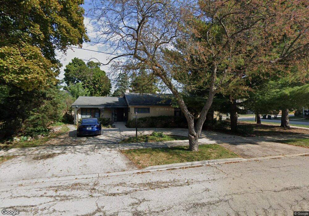
330 Franklin St Barrington, IL 60010
North Barrington Hills NeighborhoodEstimated Value: $562,000 - $607,000
3
Beds
3
Baths
1,982
Sq Ft
$292/Sq Ft
Est. Value
About This Home
This home is located at 330 Franklin St, Barrington, IL 60010 and is currently estimated at $578,344, approximately $291 per square foot. 330 Franklin St is a home located in Lake County with nearby schools including Hough Street Elementary School, Barrington Middle School Station Campus, and Barrington High School.
Ownership History
Date
Name
Owned For
Owner Type
Purchase Details
Closed on
May 30, 2012
Sold by
Gillogly Loraine R
Bought by
Duffy T Dennis and Duffy Thomas Dennis
Current Estimated Value
Purchase Details
Closed on
Oct 29, 2003
Sold by
Gillogly Loraine R
Bought by
Gillogly Loraine R and The Loraine R Gillogly Declara
Purchase Details
Closed on
Jun 22, 2001
Sold by
Pahlke Robert M and Pahlke Paulette E
Bought by
Gillogly Loraine R
Purchase Details
Closed on
Jan 23, 1996
Sold by
Pahlke Robert M and Pahlke Paulette E
Bought by
Pahlke Robert M and Pahlke Paulette E
Create a Home Valuation Report for This Property
The Home Valuation Report is an in-depth analysis detailing your home's value as well as a comparison with similar homes in the area
Home Values in the Area
Average Home Value in this Area
Purchase History
| Date | Buyer | Sale Price | Title Company |
|---|---|---|---|
| Duffy T Dennis | $303,750 | Baird & Warner Title Service | |
| Gillogly Loraine R | -- | -- | |
| Gillogly Loraine R | $266,000 | Ticor Title | |
| Pahlke Robert M | -- | -- |
Source: Public Records
Tax History Compared to Growth
Tax History
| Year | Tax Paid | Tax Assessment Tax Assessment Total Assessment is a certain percentage of the fair market value that is determined by local assessors to be the total taxable value of land and additions on the property. | Land | Improvement |
|---|---|---|---|---|
| 2024 | $10,659 | $155,649 | $37,517 | $118,132 |
| 2023 | $10,037 | $147,534 | $35,561 | $111,973 |
| 2022 | $10,037 | $137,307 | $40,230 | $97,077 |
| 2021 | $9,907 | $134,972 | $39,546 | $95,426 |
| 2020 | $9,654 | $134,555 | $39,424 | $95,131 |
| 2019 | $9,271 | $131,005 | $38,384 | $92,621 |
| 2018 | $8,548 | $123,045 | $38,172 | $84,873 |
| 2017 | $8,444 | $120,573 | $37,405 | $83,168 |
| 2016 | $8,317 | $116,025 | $35,994 | $80,031 |
| 2015 | $7,854 | $108,821 | $33,759 | $75,062 |
| 2014 | $7,487 | $99,367 | $28,522 | $70,845 |
| 2012 | $7,011 | $101,075 | $29,012 | $72,063 |
Source: Public Records
Map
Nearby Homes
- 206 N Cook St
- 0 Illinois Route 59
- 534 E Main St
- 565 Shorely Dr Unit 202
- 126 W Lake St
- 148 W Station St
- 145 Walton St
- 520 Shorely Dr Unit 201
- 541 N Hough St Unit 205
- 345 E Russell St
- 136 Grant St
- 432 Whitney Dr
- 323 W Main St
- 319 W Lake St
- 221 Coolidge Ave
- 123 Monument Ave
- 129 Monument Ave
- 116 Sturtz St
- 709 Prospect Ave
- 650 S Grove Ave
- 204 North Ave Unit 59
- 328 Franklin St
- 214 North Ave
- 325 Washington St
- 321 Washington St
- 134 North Ave
- 207 North Ave
- 316 Franklin St
- 213 North Ave
- 319 Washington St
- 315 Washington St
- 135 North Ave
- 203 North Ave
- 137 North Ave
- 332 Washington St
- 319 Franklin St
- 319 Franklin St
- 319 Franklin St
- 328 Washington St
- 411 Washington St