330 Freeman Rd Barnesville, GA 30204
Estimated Value: $138,000 - $189,000
3
Beds
2
Baths
1,150
Sq Ft
$149/Sq Ft
Est. Value
About This Home
This home is located at 330 Freeman Rd, Barnesville, GA 30204 and is currently estimated at $171,846, approximately $149 per square foot. 330 Freeman Rd is a home located in Lamar County with nearby schools including Lamar County Primary School, Lamar County Elementary School, and Lamar County Middle School.
Ownership History
Date
Name
Owned For
Owner Type
Purchase Details
Closed on
Feb 26, 2020
Sold by
Burns Leon B
Bought by
Patlen Properties Llc
Current Estimated Value
Purchase Details
Closed on
Dec 3, 2019
Sold by
Aiken Thomas Micheal
Bought by
Burns Leon B and Burns Patricia D
Purchase Details
Closed on
Oct 30, 2003
Sold by
Wheeler Charles A and Young Ann W
Bought by
Aiken Thomas M and Aiken Pamela P
Purchase Details
Closed on
Feb 17, 1998
Sold by
Wheeler Clara Estate
Bought by
Wheeler Charles A
Create a Home Valuation Report for This Property
The Home Valuation Report is an in-depth analysis detailing your home's value as well as a comparison with similar homes in the area
Purchase History
| Date | Buyer | Sale Price | Title Company |
|---|---|---|---|
| Patlen Properties Llc | -- | -- | |
| Burns Leon B | $52,650 | -- | |
| Aiken Thomas M | $37,000 | -- | |
| Wheeler Charles A | -- | -- |
Source: Public Records
Tax History
| Year | Tax Paid | Tax Assessment Tax Assessment Total Assessment is a certain percentage of the fair market value that is determined by local assessors to be the total taxable value of land and additions on the property. | Land | Improvement |
|---|---|---|---|---|
| 2025 | $1,467 | $60,489 | $7,491 | $52,998 |
| 2024 | $1,285 | $50,211 | $7,491 | $42,720 |
| 2023 | $1,257 | $45,529 | $7,491 | $38,038 |
| 2022 | $1,108 | $40,129 | $4,067 | $36,062 |
| 2021 | $598 | $19,891 | $4,067 | $15,824 |
| 2020 | $630 | $19,891 | $4,067 | $15,824 |
| 2019 | $455 | $14,332 | $4,067 | $10,265 |
| 2018 | $437 | $14,332 | $4,067 | $10,265 |
| 2017 | $434 | $14,332 | $4,067 | $10,265 |
| 2016 | $434 | $14,332 | $4,067 | $10,265 |
| 2015 | $434 | $14,332 | $4,067 | $10,265 |
| 2014 | $421 | $14,332 | $4,067 | $10,265 |
| 2013 | -- | $14,332 | $4,067 | $10,264 |
Source: Public Records
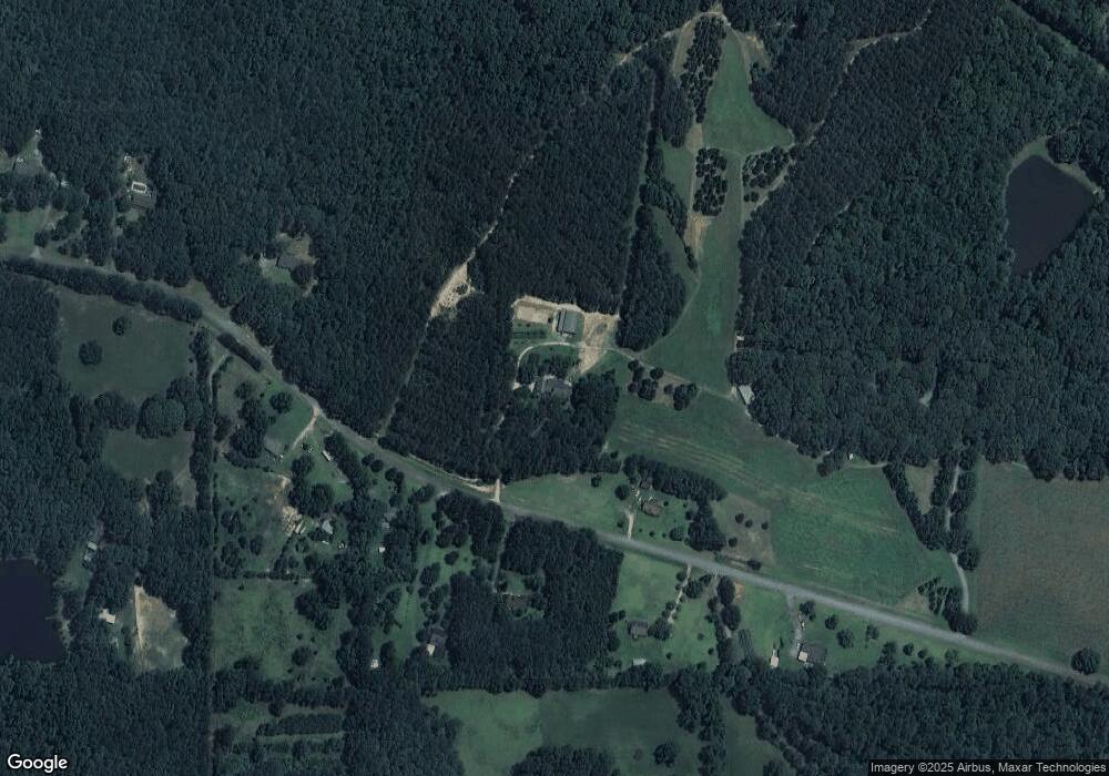
Map
Nearby Homes
- 395 Country Kitchen Rd
- 249 Ponderosa Ln
- 216 Ponderosa Ln
- 330 Country Kitchen Rd
- 1505 Willis Rd
- 1207 Highway 36 W
- 146 Berry Rd Unit LOT 12B
- 148 Berry Rd Unit LOT 12A
- 144 Berry Rd Unit LOT 13
- 150 Berry Rd
- 818 Cannafax Rd
- 111 Needleleaf Ct
- 255 Needleleaf Dr
- 250 Perdue Rd
- 1013 Veterans Pkwy
- 0 Us Highway 41
- 0 Perkins Rd Unit 253616
- 0 Perkins Rd Unit 10699928
- 0 Perkins Rd Unit 10625263
- 0 Perkins Rd Unit 7692755
- 330 Freeman Rd
- 330 Freeman Rd
- 330 Freeman Rd
- 350 Freeman Rd
- 333 Freeman Rd
- 313 Freeman Rd
- 363 Freeman Rd
- 329 Freeman Rd
- 307 Freeman Rd
- 294 Freeman Rd
- 371 Freeman Rd
- 371 Freeman Rd
- 390 Freeman Rd
- 162 Freeman Cir
- 278 Freeman Rd
- 287 Freeman Rd
- 158 Freeman Cir
- 270 Freeman Rd
- 263 Freeman Rd
- 246 Freeman Rd
Your Personal Tour Guide
Ask me questions while you tour the home.