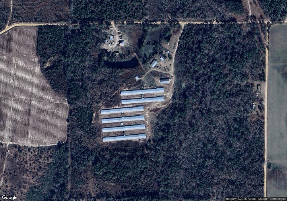
330 George Solomon Rd Broxton, GA 31519
Estimated Value: $165,000 - $600,379
--
Bed
--
Bath
--
Sq Ft
68.45
Acres
About This Home
This home is located at 330 George Solomon Rd, Broxton, GA 31519 and is currently estimated at $326,793. 330 George Solomon Rd is a home located in Coffee County with nearby schools including Broxton-Mary Hayes Elementary School, Coffee Middle School, and Coffee County High School.
Ownership History
Date
Name
Owned For
Owner Type
Purchase Details
Closed on
Sep 8, 2025
Sold by
Dexter Collins Poultry Farm Llc
Bought by
Collins Dexter
Current Estimated Value
Purchase Details
Closed on
Mar 12, 2014
Sold by
Collins Dexter S
Bought by
Dexter Collins Poultry and Dexter Farm Ll
Home Financials for this Owner
Home Financials are based on the most recent Mortgage that was taken out on this home.
Original Mortgage
$412,800
Interest Rate
4.3%
Mortgage Type
New Conventional
Purchase Details
Closed on
Jan 24, 2008
Sold by
Sheila Fussell
Bought by
Collins Dexter S
Create a Home Valuation Report for This Property
The Home Valuation Report is an in-depth analysis detailing your home's value as well as a comparison with similar homes in the area
Home Values in the Area
Average Home Value in this Area
Purchase History
| Date | Buyer | Sale Price | Title Company |
|---|---|---|---|
| Collins Dexter | -- | -- | |
| Dexter Collins Poultry | -- | -- | |
| Collins Dexter S | -- | -- |
Source: Public Records
Mortgage History
| Date | Status | Borrower | Loan Amount |
|---|---|---|---|
| Previous Owner | Dexter Collins Poultry | $412,800 |
Source: Public Records
Tax History Compared to Growth
Tax History
| Year | Tax Paid | Tax Assessment Tax Assessment Total Assessment is a certain percentage of the fair market value that is determined by local assessors to be the total taxable value of land and additions on the property. | Land | Improvement |
|---|---|---|---|---|
| 2024 | $2,997 | $135,266 | $51,886 | $83,380 |
| 2023 | $2,997 | $135,266 | $51,886 | $83,380 |
| 2022 | $3,282 | $135,266 | $51,886 | $83,380 |
| 2021 | $3,300 | $135,986 | $51,886 | $84,100 |
| 2020 | $3,328 | $137,026 | $51,886 | $85,140 |
| 2019 | $3,363 | $138,466 | $51,886 | $86,580 |
| 2018 | $3,399 | $139,906 | $51,886 | $88,020 |
| 2017 | $3,569 | $146,386 | $51,886 | $94,500 |
| 2016 | $3,730 | $152,866 | $51,886 | $100,980 |
Source: Public Records
Map
Nearby Homes
- 699 Twin Lakes Dr
- 197 Mobley Bluff Rd
- 171 Sparrow Rd
- 441 U S 319
- 0 E River Rd Unit 1646569
- 0 E River Rd Unit 20927603
- 0 E River Rd Unit 154466
- 0 E River Rd Unit 10297440
- 57 E Dogwood Dr
- 00 W River Rd
- 1020 Alabama St N
- 279 W H Smith Rd
- 504 Miller Ave
- 00 Reynold Griffin Rd
- 744 Lotts Crossing
- 407 Broxton West Green Hwy
- 4653 Douglas Braxton Hwy
- 126 Oscar Patton Estates
- 241 Mount Galilee Church Rd
- 5495 Cross Rd