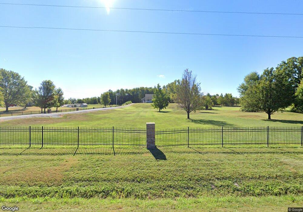
330 Highway C Saint Peters, MO 63376
Estimated Value: $344,000 - $441,578
3
Beds
2
Baths
1,728
Sq Ft
$239/Sq Ft
Est. Value
About This Home
This home is located at 330 Highway C, Saint Peters, MO 63376 and is currently estimated at $413,645, approximately $239 per square foot. 330 Highway C is a home with nearby schools including Lewis & Clark Elementary School, Dr. Bernard J. Dubray Middle School, and Fort Zumwalt East High School.
Ownership History
Date
Name
Owned For
Owner Type
Purchase Details
Closed on
Nov 20, 2015
Sold by
Tolliver John E and Tolliver Glenna J
Bought by
Johnes Mark E and Johnes Kristie E
Current Estimated Value
Home Financials for this Owner
Home Financials are based on the most recent Mortgage that was taken out on this home.
Original Mortgage
$175,000
Outstanding Balance
$137,739
Interest Rate
3.81%
Mortgage Type
New Conventional
Estimated Equity
$275,906
Create a Home Valuation Report for This Property
The Home Valuation Report is an in-depth analysis detailing your home's value as well as a comparison with similar homes in the area
Home Values in the Area
Average Home Value in this Area
Purchase History
| Date | Buyer | Sale Price | Title Company |
|---|---|---|---|
| Johnes Mark E | $250,000 | Ust |
Source: Public Records
Mortgage History
| Date | Status | Borrower | Loan Amount |
|---|---|---|---|
| Open | Johnes Mark E | $175,000 |
Source: Public Records
Tax History Compared to Growth
Tax History
| Year | Tax Paid | Tax Assessment Tax Assessment Total Assessment is a certain percentage of the fair market value that is determined by local assessors to be the total taxable value of land and additions on the property. | Land | Improvement |
|---|---|---|---|---|
| 2025 | $4,263 | $63,495 | -- | -- |
| 2023 | $4,253 | $59,409 | $0 | $0 |
| 2022 | $3,614 | $47,208 | $0 | $0 |
| 2021 | $3,596 | $47,208 | $0 | $0 |
| 2020 | $3,630 | $46,200 | $0 | $0 |
| 2019 | $3,574 | $46,200 | $0 | $0 |
| 2018 | $3,392 | $42,195 | $0 | $0 |
| 2017 | $3,384 | $42,195 | $0 | $0 |
| 2016 | $3,087 | $38,547 | $0 | $0 |
Source: Public Records
Map
Nearby Homes
- 412 Cardinal Commons Ct
- 100 Cardinal Villas Dr Unit 2A
- 114 Peruque Creek Manor
- 312 Crown Colony Ct Unit F
- 326 Devonshire Ct Unit E
- 24 Saint David Dr
- 36 Jamestown Dr
- 20 Jamestown Dr
- 426 Cambridge Place
- 420 Cambridge Place Unit 2
- 410 Brown Rd
- 406 S Church St Unit 128
- 8 Cross Trail Ln
- 1 Jamaica Dr
- 987 Silvers Rd
- 20 Churchill Downs Dr
- 16 Oxbow Rd
- 7 Belmont Dr
- 7418 Mexico Rd #100 Rd
- 568 Prairie Home Dr
- 17 Cooper Ln
- 23 Cooper Ln
- 11 Cooper Ln
- 322 Highway C
- 29 Cooper Ln
- 260 Iffrig Rd
- 380 Highway C
- 200 Iffrig Rd
- 280 Iffrig Rd
- 2245 Salt River Rd
- 300 Iffrig Rd
- 180 Iffrig Rd
- 320 Iffrig Rd
- 2750 Salt River Rd
- 474 Highway C
- 82 Didion Dr
- 0 Didion Dr
- 6 Ecology Lot 6 and Lot 7
- 6 Ecology Lot 6
- 3ACRES Ecology Dr