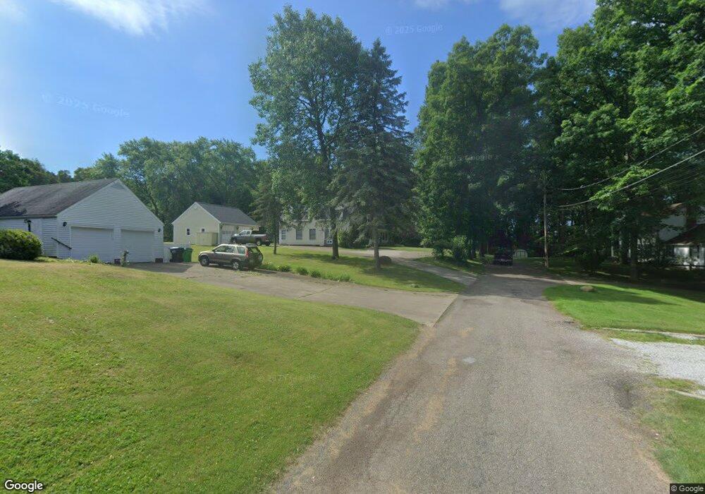
330 Independence St SE Massillon, OH 44646
Downtown Massillon NeighborhoodEstimated Value: $127,000 - $309,365
3
Beds
3
Baths
2,992
Sq Ft
$77/Sq Ft
Est. Value
About This Home
This home is located at 330 Independence St SE, Massillon, OH 44646 and is currently estimated at $231,341, approximately $77 per square foot. 330 Independence St SE is a home located in Stark County with nearby schools including Massillon Intermediate School, Massillon Junior High School, and Washington High School.
Ownership History
Date
Name
Owned For
Owner Type
Purchase Details
Closed on
Mar 2, 2023
Sold by
Mcclain David A and Mcclain David A
Bought by
Mcclain David A and Mcclain Penni L
Current Estimated Value
Purchase Details
Closed on
Oct 1, 1999
Sold by
Rogers Robert D and Joanne Rogers A
Bought by
Mcclain Penni L
Create a Home Valuation Report for This Property
The Home Valuation Report is an in-depth analysis detailing your home's value as well as a comparison with similar homes in the area
Home Values in the Area
Average Home Value in this Area
Purchase History
| Date | Buyer | Sale Price | Title Company |
|---|---|---|---|
| Mcclain David A | -- | None Listed On Document | |
| Mcclain Penni L | -- | -- |
Source: Public Records
Tax History Compared to Growth
Tax History
| Year | Tax Paid | Tax Assessment Tax Assessment Total Assessment is a certain percentage of the fair market value that is determined by local assessors to be the total taxable value of land and additions on the property. | Land | Improvement |
|---|---|---|---|---|
| 2025 | -- | $81,980 | $11,310 | $70,670 |
| 2024 | -- | $81,980 | $11,310 | $70,670 |
| 2023 | $3,057 | $59,820 | $15,120 | $44,700 |
| 2022 | $3,061 | $59,820 | $15,120 | $44,700 |
| 2021 | $3,111 | $59,820 | $15,120 | $44,700 |
| 2020 | $2,633 | $47,640 | $12,430 | $35,210 |
| 2019 | $2,596 | $47,640 | $12,430 | $35,210 |
| 2018 | $2,580 | $47,640 | $12,430 | $35,210 |
| 2017 | $2,685 | $46,320 | $12,610 | $33,710 |
| 2016 | $2,731 | $46,320 | $12,610 | $33,710 |
| 2015 | $2,697 | $46,320 | $12,610 | $33,710 |
| 2014 | $758 | $45,800 | $12,470 | $33,330 |
| 2013 | $1,385 | $45,800 | $12,470 | $33,330 |
Source: Public Records
Map
Nearby Homes
- 652 Young St SE
- 832 Wellman Ave SE
- 509 Tremont Ave SE
- 637 Wallace Ave SE
- 46 5th St SE
- 202 Rose Ave SE
- 1319 Walnut Rd SE
- 528 Lincoln Way E
- 1012 Federal Ave NE
- 104 Penn Ave SE
- 1720 Lincoln Way E
- 17 Maple Ave SE
- 1938 Connecticut Ave SE
- 3476 Joyce Ave NW Unit 15
- 3414 Joyce Ave NW Unit 18
- Lot 42 Joyce Ave NW
- 1837 Lindbergh Ave NE
- 712 Harmon Place NE
- 433 7th St NE
- 0 Connecticut Ave SE
- 331 Independence St SE
- 320 Independence St SE
- 1219 Oak Ave SE
- 1227 Oak Ave SE
- 1143 Oak Ave SE
- 1235 Oak Ave SE
- 1133 Oak Ave SE
- 1129 Oak Ave SE
- 1204 Oak Ave SE
- 1125 Oak Ave SE
- 1303 Oak Ave SE
- 274 Independence St SE
- 338 11th St SE
- 1121 Oak Ave SE
- 330 11th St SE
- 328 11th St SE
- 1142 Oak Ave SE
- 270 Independence St SE
- 328 11th St SE
- 322 11th St SE
