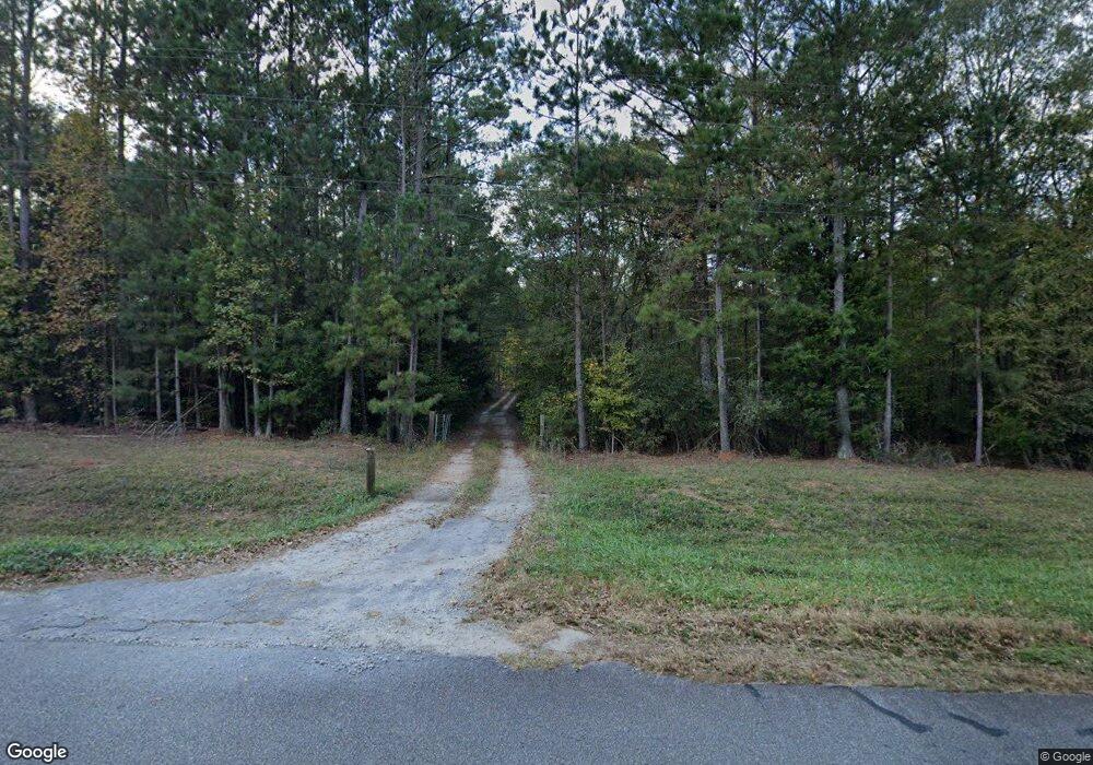
330 Jim McMichael Rd Jackson, GA 30233
Worthville NeighborhoodEstimated Value: $417,000 - $870,000
3
Beds
2
Baths
2,100
Sq Ft
$267/Sq Ft
Est. Value
About This Home
This home is located at 330 Jim McMichael Rd, Jackson, GA 30233 and is currently estimated at $560,814, approximately $267 per square foot. 330 Jim McMichael Rd is a home located in Butts County with nearby schools including Jackson High School.
Ownership History
Date
Name
Owned For
Owner Type
Purchase Details
Closed on
Oct 4, 2024
Sold by
Rocker Austin E
Bought by
Rocker Austin E and Rocker Terri
Current Estimated Value
Purchase Details
Closed on
Jun 1, 2010
Sold by
Carter Roger Dale
Bought by
Rocker Austin E
Home Financials for this Owner
Home Financials are based on the most recent Mortgage that was taken out on this home.
Original Mortgage
$332,500
Interest Rate
4.97%
Mortgage Type
New Conventional
Create a Home Valuation Report for This Property
The Home Valuation Report is an in-depth analysis detailing your home's value as well as a comparison with similar homes in the area
Home Values in the Area
Average Home Value in this Area
Purchase History
| Date | Buyer | Sale Price | Title Company |
|---|---|---|---|
| Rocker Austin E | -- | -- | |
| Rocker Austin E | $350,000 | -- |
Source: Public Records
Mortgage History
| Date | Status | Borrower | Loan Amount |
|---|---|---|---|
| Previous Owner | Rocker Austin E | $332,500 |
Source: Public Records
Tax History Compared to Growth
Tax History
| Year | Tax Paid | Tax Assessment Tax Assessment Total Assessment is a certain percentage of the fair market value that is determined by local assessors to be the total taxable value of land and additions on the property. | Land | Improvement |
|---|---|---|---|---|
| 2025 | $3,031 | $194,682 | $70,584 | $124,098 |
| 2024 | $3,031 | $200,722 | $70,584 | $130,138 |
| 2023 | $3,330 | $190,162 | $70,584 | $119,578 |
| 2022 | $2,714 | $161,963 | $69,408 | $92,555 |
| 2021 | $2,500 | $148,136 | $69,407 | $78,729 |
| 2020 | $2,275 | $137,581 | $69,408 | $68,173 |
| 2019 | $1,926 | $128,350 | $69,408 | $58,942 |
| 2018 | $1,735 | $119,440 | $69,408 | $50,032 |
| 2017 | $1,589 | $117,634 | $69,182 | $48,452 |
| 2016 | $1,377 | $109,812 | $69,182 | $40,630 |
| 2015 | $1,350 | $109,813 | $69,182 | $40,630 |
| 2014 | $1,352 | $107,236 | $69,182 | $38,054 |
Source: Public Records
Map
Nearby Homes
- 318 Cedar Creek Rd
- Highway 36 E ~ Tract 1
- 149 Woody Rd
- 0 Bakers Cir Hall Bridge Rd Unit 10663389
- 196 Jackson Lake Inn Rd
- 346 Tussahaw Trail
- 925 Highway 36 E
- 891 Highway 36 E
- 771 Regal Rd
- 0 Summit View Rd Unit 10264510
- 291 Regal Rd
- 266 Regal Rd
- 209 Regal Rd
- 126 Shannon Way
- 0 Buster Brown Rd Unit 10532824
- 184 Regal Rd
- 2188 Highway 36 E
- 144 Blackberry Rd
- 171 Blackberry Rd
- 282 Marina Cir
- 305 Jim McMichael Rd
- 331 Godsey Rd
- 441 Four Points Rd
- 411 Four Points Rd
- 300 Godsey Rd
- 351 Godsey Rd
- 481 Four Points Rd
- 268 Godsey Rd
- 262 Godsey Rd
- 409 Four Points Rd
- 330 Godsey Rd
- 350 Godsey Rd
- 447 Biles Rd Unit 3
- 258 Godsey Rd
- 342 Godsey Rd
- 326 Godsey Rd
- 263 Jim McMichael Rd
- 444 Four Points Rd
- 399 Four Points Rd
- 429 Biles Rd
