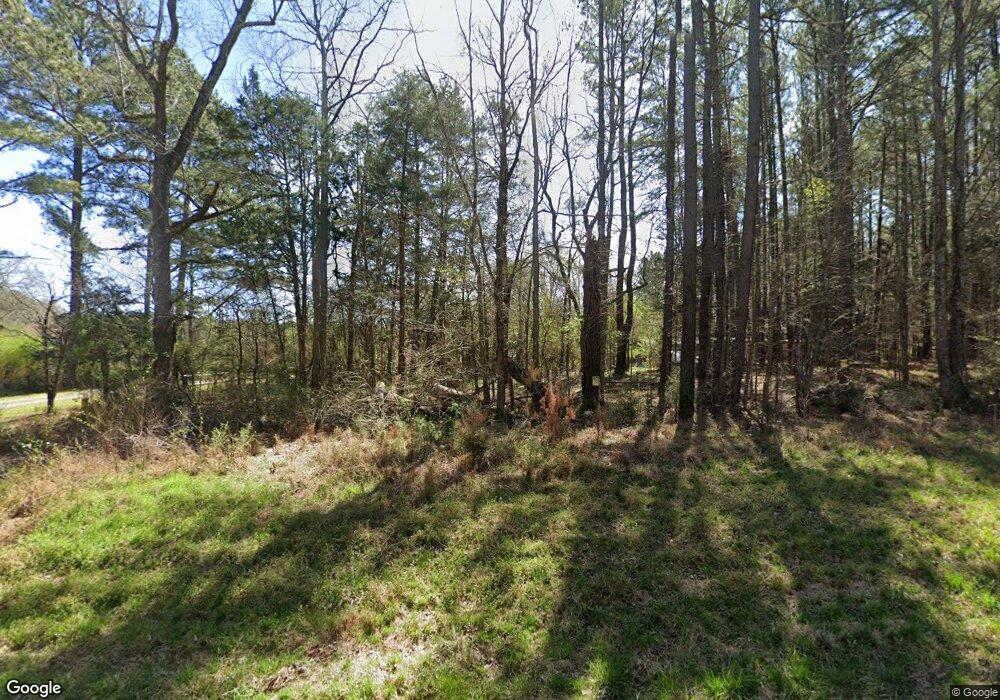
330 Lamont Norwood Rd Pittsboro, NC 27312
Estimated Value: $240,000 - $820,000
4
Beds
3
Baths
2,922
Sq Ft
$198/Sq Ft
Est. Value
About This Home
This home is located at 330 Lamont Norwood Rd, Pittsboro, NC 27312 and is currently estimated at $577,529, approximately $197 per square foot. 330 Lamont Norwood Rd is a home located in Chatham County with nearby schools including Perry W. Harrison Elementary School, Margaret B. Pollard Middle School, and Northwood High.
Ownership History
Date
Name
Owned For
Owner Type
Purchase Details
Closed on
Jan 27, 2021
Sold by
Stevens Sandra G and Ralph I Evans Revocable Trust
Bought by
Benoit Sandra Gail Norwood
Current Estimated Value
Purchase Details
Closed on
Aug 12, 2005
Sold by
Menius Arthur Clayton and Johnson Rebecca R
Bought by
Benoit Victor J and Gail N Benoit S
Purchase Details
Closed on
Dec 31, 1996
Bought by
Benoit Sandra G Norwood
Create a Home Valuation Report for This Property
The Home Valuation Report is an in-depth analysis detailing your home's value as well as a comparison with similar homes in the area
Home Values in the Area
Average Home Value in this Area
Purchase History
| Date | Buyer | Sale Price | Title Company |
|---|---|---|---|
| Benoit Sandra Gail Norwood | -- | None Available | |
| Benoit Victor J | $85,000 | None Available | |
| Benoit Sandra G Norwood | -- | -- |
Source: Public Records
Tax History Compared to Growth
Tax History
| Year | Tax Paid | Tax Assessment Tax Assessment Total Assessment is a certain percentage of the fair market value that is determined by local assessors to be the total taxable value of land and additions on the property. | Land | Improvement |
|---|---|---|---|---|
| 2025 | $3,350 | $454,906 | $123,050 | $331,856 |
| 2024 | $3,350 | $301,190 | $94,862 | $206,328 |
| 2023 | $2,706 | $301,190 | $94,862 | $206,328 |
| 2022 | $2,483 | $301,190 | $94,862 | $206,328 |
| 2021 | $2,453 | $301,190 | $94,862 | $206,328 |
| 2020 | $2,416 | $294,467 | $87,978 | $206,489 |
| 2019 | $2,416 | $294,467 | $87,978 | $206,489 |
| 2018 | $2,282 | $294,467 | $87,978 | $206,489 |
| 2017 | $2,282 | $294,467 | $87,978 | $206,489 |
| 2016 | $2,238 | $286,469 | $79,980 | $206,489 |
| 2015 | $2,204 | $286,469 | $79,980 | $206,489 |
| 2014 | $2,161 | $286,469 | $79,980 | $206,489 |
| 2013 | -- | $286,469 | $79,980 | $206,489 |
Source: Public Records
Map
Nearby Homes
- 2430 Jones Ferry Rd
- 0 Jones Ferry Rd Unit 10129534
- 466 Cedar Grove Rd
- 1321 Cedar Grove Rd
- 1278 Cedar Grove Rd
- 121 Pheasant Ct
- 4025 Hamlets Chapel Rd
- L2-37 Lamont Norwood Rd
- 67 Ada Ct
- 59 Mill Rd
- 0 Bygone Way
- 126 Black Bear Ct
- 318 Ivy Ridge Rd
- 104 Black Bear Ct
- 75 Kenwood Ln
- 114 Margaret Mann Way
- 93 Kenwood Ln
- 33 Henry Ct
- 250 Ivy Ridge Rd
- 337 Ivy Ridge Rd
- 324 Lamont Norwood Rd
- 260 Lamont Norwood Rd
- 208 Lamont Norwood Rd
- 381 Lamont Norwood Rd
- 199 Eagle Point Rd
- 335 Lamont Norwood Rd
- 325 Eagle Point Rd
- 115 Eagle Point Rd
- 132 Lamont Norwood Rd
- 469 Lamont Norwood Rd
- 155 Lamont Norwood Rd
- LOT C Arcadia Ln
- 86 Lamont Norwood Rd
- 130 Lamont Norwood Rd
- 75 Eagle Point Rd
- 509 Lamont Norwood Rd
- 28 Lamont Norwood Rd
- 1000 Jones Ferry Rd
- 274 Eagle Point Rd
- 380 Eagle Point Rd
