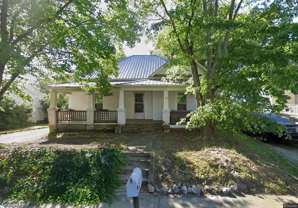
330 Louise Ave High Point, NC 27262
Greater High Point NeighborhoodEstimated Value: $146,266 - $268,000
3
Beds
1
Bath
1,295
Sq Ft
$150/Sq Ft
Est. Value
About This Home
This home is located at 330 Louise Ave, High Point, NC 27262 and is currently estimated at $193,817, approximately $149 per square foot. 330 Louise Ave is a home located in Guilford County with nearby schools including Northwood Elementary School, Ferndale Middle School, and High Point Central High School.
Ownership History
Date
Name
Owned For
Owner Type
Purchase Details
Closed on
Mar 24, 2025
Sold by
Baker Linda Horner and Horner Iris D
Bought by
Nessa Properties Llc
Current Estimated Value
Purchase Details
Closed on
Oct 20, 2011
Bought by
Horner Properties Llc
Purchase Details
Closed on
Jul 8, 2009
Bought by
Horner Iris D
Purchase Details
Closed on
Jun 25, 2009
Bought by
Horner Jack R
Create a Home Valuation Report for This Property
The Home Valuation Report is an in-depth analysis detailing your home's value as well as a comparison with similar homes in the area
Home Values in the Area
Average Home Value in this Area
Purchase History
| Date | Buyer | Sale Price | Title Company |
|---|---|---|---|
| Nessa Properties Llc | -- | None Listed On Document | |
| Nessa Properties Llc | -- | None Listed On Document | |
| Horner Properties Llc | -- | -- | |
| Horner Iris D | -- | -- | |
| Horner Jack R | -- | -- |
Source: Public Records
Tax History
| Year | Tax Paid | Tax Assessment Tax Assessment Total Assessment is a certain percentage of the fair market value that is determined by local assessors to be the total taxable value of land and additions on the property. | Land | Improvement |
|---|---|---|---|---|
| 2025 | $1,315 | $95,400 | $35,000 | $60,400 |
| 2024 | $1,315 | $95,400 | $35,000 | $60,400 |
| 2023 | $1,315 | $95,400 | $35,000 | $60,400 |
| 2022 | $1,286 | $95,400 | $35,000 | $60,400 |
| 2021 | $945 | $68,600 | $24,000 | $44,600 |
| 2020 | $945 | $68,600 | $24,000 | $44,600 |
| 2019 | $945 | $68,600 | $0 | $0 |
| 2018 | $941 | $68,600 | $0 | $0 |
| 2017 | $941 | $68,600 | $0 | $0 |
| 2016 | $951 | $67,800 | $0 | $0 |
| 2015 | $956 | $67,800 | $0 | $0 |
| 2014 | $972 | $67,800 | $0 | $0 |
Source: Public Records
Map
Nearby Homes
- 304 Louise Ave
- 511 E Farriss Ave
- 719 Forrest St
- 721 Forrest St
- 1310 Madison St
- 509 Woodrow Ave
- 702 E Farriss Ave
- 916 Forrest St
- 207 Hillcrest Dr
- 1433 Larkin St
- 610 Colonial Dr
- 705 Delmont St
- 1507 Larkin St
- 910 E Dayton Ave
- 1428 Futrelle Dr
- 905 Mint Ave
- 1602 Larkin St
- 1108 Forrest St
- 1110 Forrest St
- 1113 Clyde Place
Your Personal Tour Guide
Ask me questions while you tour the home.